[The Wey-South Path]
[The Essex Way]
[Links]
[Stour & Orwell]
[Thanet Coast Path]
[Grand Union]
[Wealdway]
[HWLT]
[SDW]
[Elham]
[Regents Canal]
[1066]
[SSW]
[PW NCP]
[Cotswold]
[SVW]
[DVP]
[SBP]
[Thames]
[SWCP]
[Gipping Valley River Path]
[Speyside]
[Three Castles Path]
[GGW]
[Eden]
[NDW]
[Capital Ring / Parkland Walk]
[MVW]
[The Loop]
[Ridgeway]
[TWC]
[RMCP]
[SMW]
[Fife Coastal Path]
[OVW]
[Vanguard]
[Lea Valley Walk]
[Resources]
[Greensand Way]
[The Monarch's Way]
[E2]
[Sandlings Walk]
[Solent Way]
[Weavers Way]
[Fynn Valley Way]
[Scafell Pike]
[Snowdon]
[Ben Nevis]
[Pentland Hills]
[Hangers Way]
[Staunton Way]
[Downs Link]
[Airdrie Bathgate Cycle Path]
[Thames Down]
[Marriot's Way]
[Bournemouth Coast Path]
[Forest Way]
[Icknield Way]
[Suffolk Coast Path]
[Angles Way]
[River Parrett Trail]
[New River Path]
[Stour Valley Path]
[St Edmund Way]
[Centenary Walk]
[John Muir Way]
[Paston Way]
[East Mendip Way]
[Orford Ness]
[Lindisfarne]
[Southern Upland Way]
[Berwickshire Coastal]
[Beverley Brook Walk]
[Chess Valley Walk]
[West Mendip Way]
[Strawberry Line]
[Colne Valley Trail]
[Hillingdon Trail]
[Huddersfield Canal Towpath Walk]
[Trans Pennine Trail]
[Pennine Way]
[North Berwick Law]
[Green Chain Walk]
[Ridgeway London]
[Waterlink Way]
[Greenwich Meridian Trail]
[Shuttle Riverway]
[Kelvin Walkway]
[Clyde Walkway]
[Union Canal Walk]
[New Lipchis Way]
[Brent River Park Walk]
[Dog Rose Ramble]
[Pymme's Brook Trail]
[Dollis Valley Greenwalk]
[Wandle Trail]
[Celandine Route]
[Paths to Prosperity]
[Snaefell]
Old Shire Lane Circular |
The Old Shire Lane is thought to have been part of the boundary separating the Saxon Kingdoms of Mercia and Wessex. The Lane now forms the county boundary between Buckinghamshire and Hertfordshire, provinding an walkway near the edge of the Chiltern Hills. The walk can be started anywhere, but from Chorleywood clockwise it drops down to cross the M25 just south of Rickmansworth, through Maple Cross along the Old Uxbridge Road, south past West Hyde, then turning West and crossing over the A412, uphill, crossing Tilehouse Lane, to the edge of Juniper Wood, then bearing Northwards, to reach Chalfont Lane, followed initially, then cross country to reach Old Shire Lane, followed to pass the Eastern edge of Philips Hill Wood, before continuing onwards back to the start, and following the link path along Old Shire back to Chorleywood Station
Chorleywood to Jcn with South Bucks Way
Saturday 3 November 2012 - 6 Miles
ID03112012#68b
From Chorleywood Station I first found a great cafe as I was desperate for a Latte, just the corner under the rail bridge just off the link path. Anyway, I carried up the steepish hill on Old Shire Lane and followed the route described above, with surprisingly firm ground, considering the amount of rain we have had (almost biblical) and enjoyed the slow descent to the East, with the M25 and lovely views over lakes, the grand union and the country beyond. The views are not so great when you have crossed the M25, but still quite nice till you pass Woodoaks Farm and join the Denham Way at Maple Cross, although once you get on the Old Uxbridge Road it is Ok and you then recross the A412, parallelling the border between Bucks and Herts to go uphill to Tilehouse Lane. I had originally intended to do the whole circular, but a very dim lightbulb came on in my noggin and I thought that instead I would turn it into a linear and at the junction with the South Bucks Way, follow that instead to reach Uxbridge Station, so the walk was a mashup, cut and shut or whatever so for the rest of the walk go to the South Bucks Way page. The Old Shire is not waymarked but is on Explorer OS mapping, but is quite simples to follow really anyway.
A great guide for the walk is here or check out Tim Bertuchi's Walk
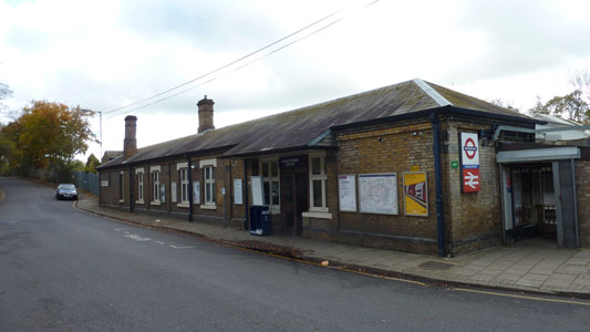
Chorleywood Station - I got here from Marylebone
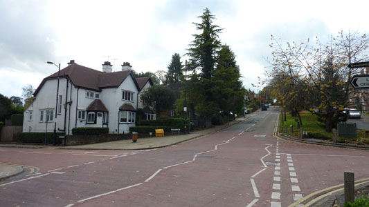
Shire Lane, Chorleywood. Big shout out to Rootz, a coffe shop here, that hooked me up with a Large Vanilla Latte, that bolstered my carcass for the rest of my adventure
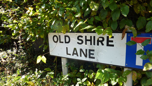
Joining the Old Shire Lane, edge of Chorleywood, near end of link path
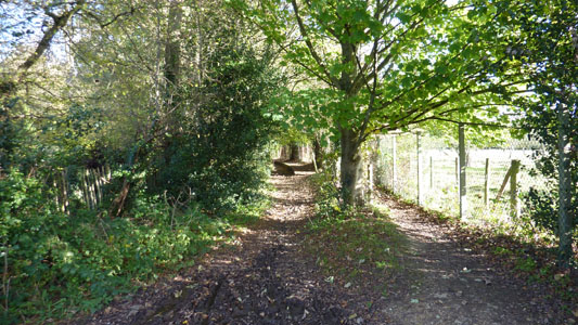
This is a path you take off Old Shire to head towards The Swillett...I made a mistake and managed to loop the loop back to here, travelling up the right side, and coming back on the left bridleway bit due to a wrong turn round the corner - quickly remedied though, just a bit embarrasing!
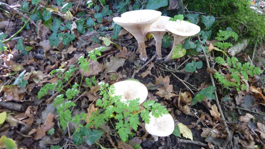
Another dose of 'shrooms...
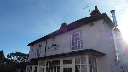
The Stag at The Swillett (South Chorleywood)
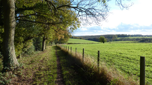
Shortly after the Stag, you turn Eastwards, and a lovely walk down to cross the M25
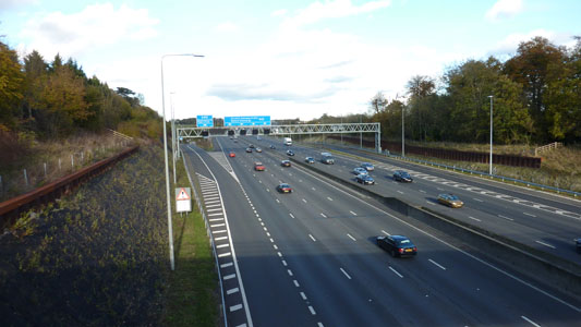
M25 south of Junction 17 for Rickmansworth
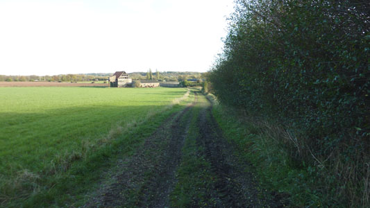
Towards Woodoaks Farm
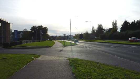
Bit bland like at Maple Cross by the A412
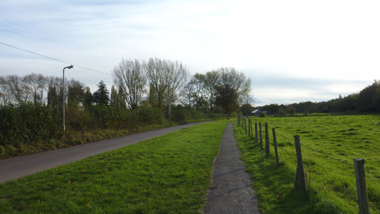
Old Uxbridge Road, parallel with the A412 but much more agreeable for a Rambler
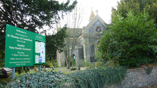
St Thomas of Canterbury, West Hyde
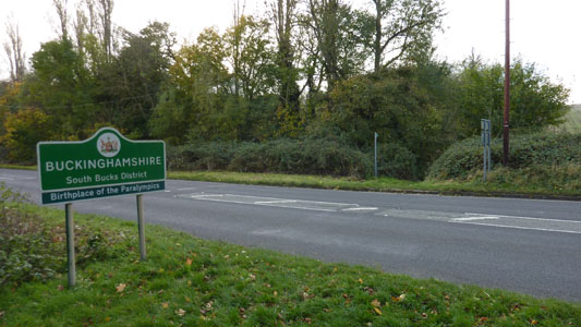
Crossing back over the A412 heading West. The footpath opposite falls on the border between Bucks and Herts. I wish they wouldn't use such meaningless 'adverts' for counties - apparently Bucks is 'Birthplace of the Paralympics'...
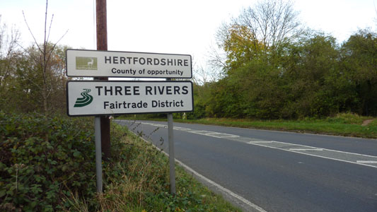
WTF? It's just Hertfordshire, nothing more, nothing less!
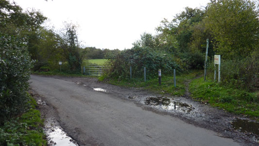
Incongrous end of my Old Shire Lane expedition at Tilehouse Lane. Handover to the South Bucks Way
