[The Wey-South Path]
[The Essex Way]
[Links]
[Stour & Orwell]
[Thanet Coast Path]
[Grand Union]
[Wealdway]
[HWLT]
[SDW]
[Elham]
[Regents Canal]
[1066]
[SSW]
[PW NCP]
[Cotswold]
[SVW]
[DVP]
[SBP]
[Thames]
[SWCP]
[Gipping Valley River Path]
[Speyside]
[Three Castles Path]
[GGW]
[Eden]
[NDW]
[Capital Ring / Parkland Walk]
[MVW]
[The Loop]
[Ridgeway]
[TWC]
[RMCP]
[SMW]
[Fife Coastal Path]
[OVW]
[Vanguard]
[Lea Valley Walk]
[Resources]
[Greensand Way]
[The Monarch's Way]
[E2]
[Sandlings Walk]
[Solent Way]
[Weavers Way]
[Fynn Valley Way]
[Scafell Pike]
[Snowdon]
[Ben Nevis]
[Pentland Hills]
[Hangers Way]
[Staunton Way]
[Downs Link]
[Airdrie Bathgate Cycle Path]
[Thames Down]
[Marriot's Way]
[Bournemouth Coast Path]
[Forest Way]
[Icknield Way]
[Suffolk Coast Path]
[Angles Way]
[River Parrett Trail]
[New River Path]
[Stour Valley Path]
[St Edmund Way]
[Centenary Walk]
[John Muir Way]
[Paston Way]
[East Mendip Way]
[Orford Ness]
[Lindisfarne]
[Southern Upland Way]
[Berwickshire Coastal]
[Beverley Brook Walk]
[Chess Valley Walk]
[West Mendip Way]
[Strawberry Line]
[Colne Valley Trail]
[Hillingdon Trail]
[Huddersfield Canal Towpath Walk]
[Trans Pennine Trail]
[Pennine Way]
[North Berwick Law]
[Green Chain Walk]
[Ridgeway London]
[Waterlink Way]
[Greenwich Meridian Trail]
[Shuttle Riverway]
[Kelvin Walkway]
[Clyde Walkway]
[Union Canal Walk]
Orford Ness
Thursday 5 August 2010 - 5 Miles
ID05082010#18
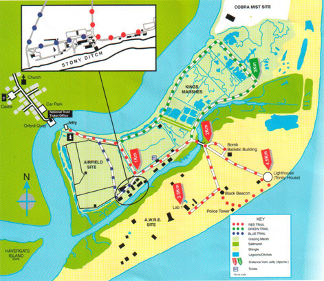
Map showing various paths
This was a fascinating look at a former military testing facility on the Orford Ness Shingle Spit in Suffolk after its abandonment by the military when it was off limits and now has been made (partialy) accesible by the National Trust who took over ownership in 1993. Even though I had lived close by from 1976 until 1998, I had never had the opportunity to visit before, but had looked over from the Quay at Orford at all the strange desolate looking buildings seperated by a tiny strip of water (River Ore). I visited with my to be Step Father and after taking the opportunity of joining the National Trust at the Quay, managed to get us on the last outward ferry crossing that day, the trip being very popular. The National Trust Ferry takes barely a couple of minutes to cross, where you disembark and are then given an introduction and guidance on your visit ny NT staff. A map is provided - there is some flexibility on routes, but a lot of the buildings are still dangerous/off limits and you must not stray 'off-piste' unless you feel like potentially mixing it with unexploded Ordnance! From the Quay we followed the Red Route, passing north and then east of the old airfield site, passing by the information building and then over the river bridge onto the south of the site, visiting the bomb ballistics building, down to the lighthouse (Trinity House) for lunch, then along the shingle to the Police Tower, down to AWRE site lab 1, back up to the Black Beacon (very informative displays on the military testing history) and then back up over the river bridge, passing the info centre again, following the Blue route back to the quay (5pm last ferry back!) after a brilliant couple of hours. The Map above makes the site a lot clearer to understand.
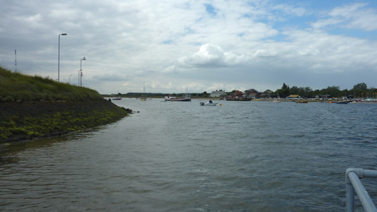
Arriving on Orford Ness, looking back to Orford Quay (River Ore)
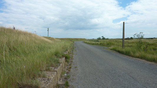
By the River Wall
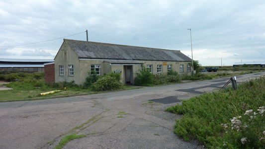
The Information Building - Ex Telephone Exchange
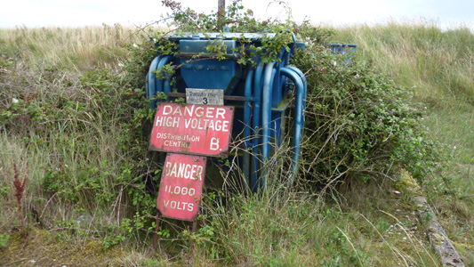
An abandoned HV Transformer being absorbed by brambles
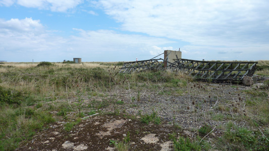
Many collapsed and demolished buildings litter the site
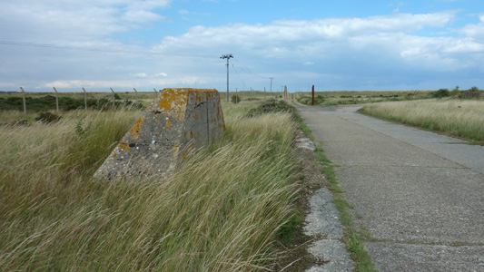
Leaving the 'High Street'. Th Green route continues ahead towards the BBC World Service / COBRA site, we turn right
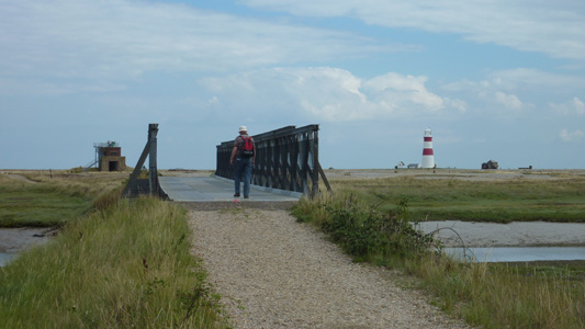
Keith crossing the bridge over Stony Ditch? onto the south of the shingle spit
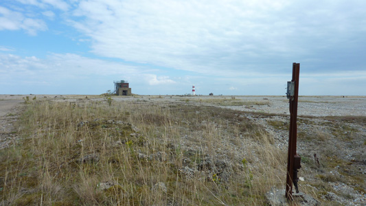
Approaching the Bomb Ballistics Building
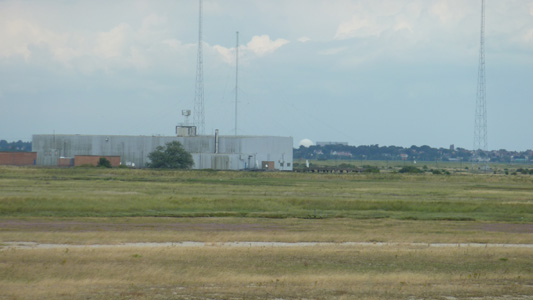
Zoomed from the roof of Bomb Ballistics, looking North towards BBC World Service/COBRA building, with Aldeburgh and Sizewell Power Stations in the far distance
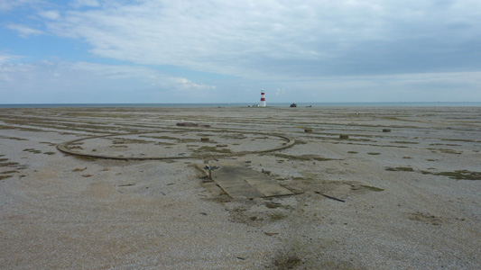
The remains of a bomb ranging installation with the lighthouse beyond
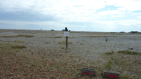
On the red route towards the lighthouse. The sign warns not to stray from the path, if you would rather not have your carcass involuntarily reconfigured, or something like that...
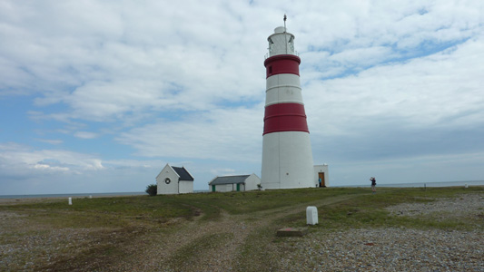
Beautiful Lighthouse still owned by Trinty House. In imminent danger of being abandoned as it is very close to the sea now
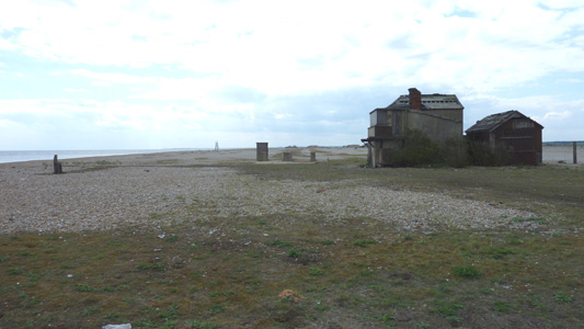
Along the shingle beach, Police Tower in distance. The ruinous builing on right was some kind of coastguard installation
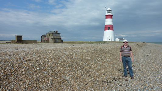
Keith and I embrace the joys of shingle walking
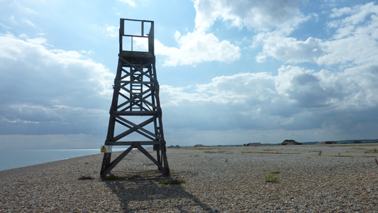
The Police Tower, a bit ramshackle now. Bit odd, did some MOD plod just stand up the top looking for trespassers?
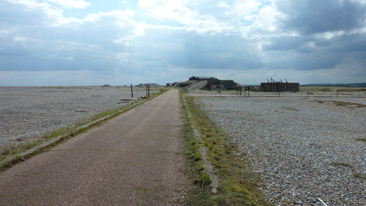
Approaching the AWRE site (Atomic Weapons Research Establishment)
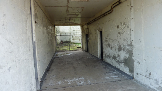
A fenced off entrance tunnel
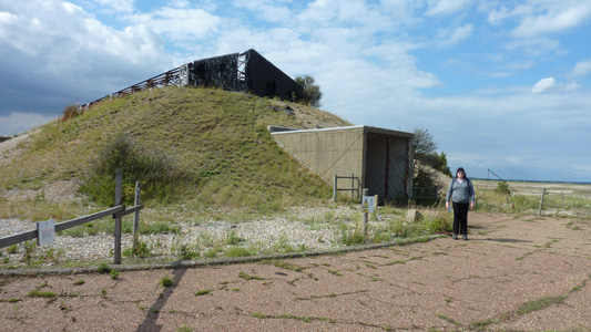
My carcass at Lab1. Apparently only triggers were tested here, no fissile material present...honest guv. Pity I don't have an iphone Geiger Counter App. Time will tell if they are telling porkies
![]()
The Black Beacon, a strange building, reminiscent of a stumpy windmill with no sails. Another fascinating information point
![]()
A view East from Black Beacon before walking back towards ferry
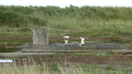
Presumably an old Toilet Block - Blue Route
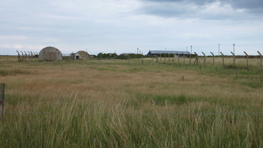
On the Blue route, skirting the old airfield, a lot of buildings were clearly used for troop billeting and support services
