[The Wey-South Path]
[The Essex Way]
[Links]
[Stour & Orwell]
[Thanet Coast Path]
[Grand Union]
[Wealdway]
[HWLT]
[SDW]
[Elham]
[Regents Canal]
[1066]
[SSW]
[PW NCP]
[Cotswold]
[SVW]
[DVP]
[SBP]
[Thames]
[SWCP]
[Gipping Valley River Path]
[Speyside]
[Three Castles Path]
[GGW]
[Eden]
[NDW]
[Capital Ring / Parkland Walk]
[MVW]
[The Loop]
[Ridgeway]
[TWC]
[RMCP]
[SMW]
[Fife Coastal Path]
[OVW]
[Vanguard]
[Lea Valley Walk]
[Resources]
[Greensand Way]
[The Monarch's Way]
[E2]
[Sandlings Walk]
[Solent Way]
[Weavers Way]
[Fynn Valley Way]
[Scafell Pike]
[Snowdon]
[Ben Nevis]
[Pentland Hills]
[Hangers Way]
[Staunton Way]
[Downs Link]
[Airdrie Bathgate Cycle Path]
[Thames Down]
[Marriot's Way]
[Bournemouth Coast Path]
[Forest Way]
[Icknield Way]
[Suffolk Coast Path]
[Angles Way]
[River Parrett Trail]
[New River Path]
[Stour Valley Path]
[St Edmund Way]
[Centenary Walk]
[John Muir Way]
[Paston Way]
[East Mendip Way]
[Orford Ness]
[Lindisfarne]
[Southern Upland Way]
[Berwickshire Coastal]
[Beverley Brook Walk]
[Chess Valley Walk]
[West Mendip Way]
[Strawberry Line]
[Colne Valley Trail]
[Hillingdon Trail]
[Huddersfield Canal Towpath Walk]
[Trans Pennine Trail]
[Pennine Way]
[North Berwick Law]
[Green Chain Walk]
[Ridgeway London]
[Waterlink Way]
[Greenwich Meridian Trail]
[Shuttle Riverway]
[Kelvin Walkway]
[Clyde Walkway]
[Union Canal Walk]
Kelvin Walkway

A routeway which extends the West Highland Way south to the centre of Glasgow, the Kelvin Walkway connects Milngavie (East Dunbartonshire) with the Glasgow Heliport on the north bank of the River Clyde, where it can be linked to the longer Clyde Walkway that continues south from the city. The Kelvin Walkway follow the river banks south from Milngavie on a route once used by Highland drovers bringing their cattle to market. The route follows, as much as possible, the three watercourses of the Allender, Kelvin and Clyde, to form a 'green link' from the countryside to the many parks, museums, art galleries and places of historic and cultural interest. The walkway follows the Allander Water for 2 miles (3 km) southeast from Milngavie to join the River Kelvin. The route then turns southwest leaving the Kelvin to strike south through Summerston. Joining the river again just north of Maryhill, the Walkway proceeds south through Kelvinside, Kelvingrove Park and Yorkhill to reach the Clyde at the Heliport / SECC
Milngavie to Glasgow (Heliport)
Tuesday 20 December 2011 - 10 Miles
ID20122011#22a
Back in Scotland for a little visit pre Crimbo - My Dad came along on this walk a pleasant addition, and made me a lot less concerned about walking through into a city with a certain reputation for Neds and 'Buckie' indulgence - however I needn't have worried, I've seen a lot worse (Plumstead comes to mind). Anyway after an effortless train journey from Livy North to Milngavie (in stark contrast to the nightmare last Christmas) we soon picked up the Allander by Tesco's (not brave enough for a foray North on The West Highland this time) - although it was icy and treacherous for a while, as soon as we got out of town the paths became much easier - following the Allander in generally South West for two Miles, we then joined the Kelvin - this follows along the rough bank to Brasher/Balmuildy Bridge (A879) where you cross the Antonine Wall (I didnt notice it at the time) and cross the road onto a higher walkway alongside the river through to Summerston. Luckily I had an eye on the map as here the waymarking doesn't exist - but navigated away from the river and through to Maryhill Park, where we had our lunch and chilled (literally) while the park workers carried on gritting duties. Shortly we carried on through an increasingly urban environment through Maryhill and rejoined the river crossing the Forth and Clyde Canal and going along the trackbed of an old railway initially, and then into Botanic Gardens, a lovely grand park, then Kelvingrove Park, skirting the city centre, before a slightly grotty end parallelling the A814 as it got dark, to cross on a bridge and finish by the Heliport and Scottish Exhibition and Conference Centre. From here we walked on another 1.75 Miles along the Clyde Walkway to reach Central then Queen Street Station and back to Livy North
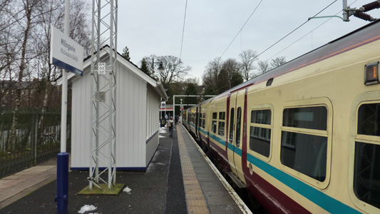
Milngavie Railway Station
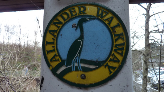
One of the exceptionally rare waymarkers - initially posted as Allander Walkway. Most of the route is blindingly obvious, mainly tricky around Maryhill
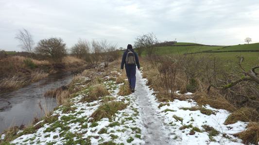
A rear view by the Allander
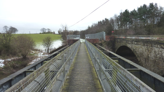
Brasher Footbridge - Although OS says the A879 bridge to the right (in a rather poor state of repair) is called the Balmuildy Bridge - Whatever...
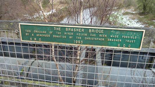
This maybe clears up the mystery
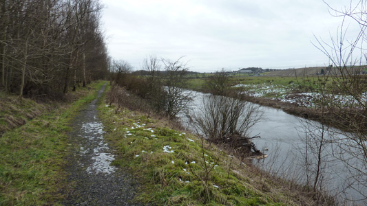
Easier paths onwards to Summerston
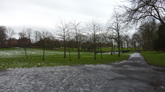
Bit icy in Maryhill Park
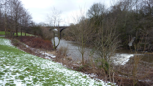
Back by the Kelvin at Maryhill
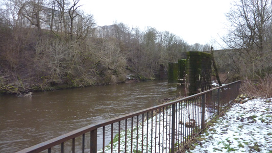
Sign of a more industrial past - one of many disused railway lines
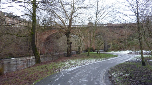
Bridge at Botanic Gardens
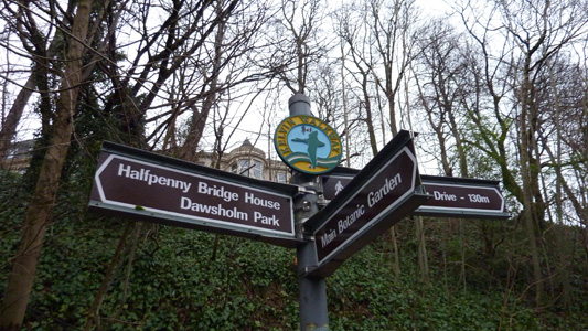
One of the spurious waymarks
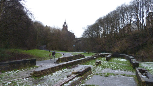
Remains of old mill in Botanic Gardens
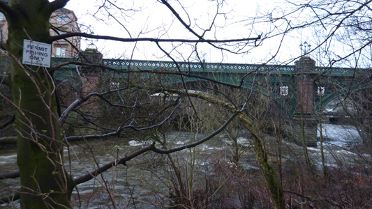
Great Western Road Bridge
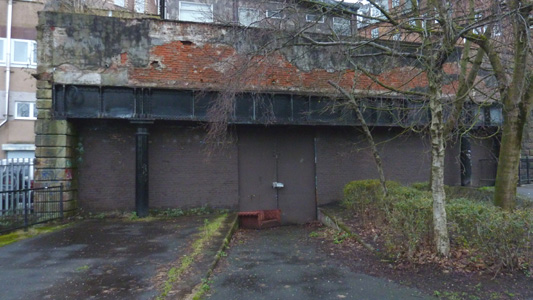
Disused Railway Tunnel - Kelvinbridge
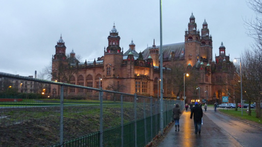
Kelvingrove Art Gallery and Museum - Kelvingrove Park
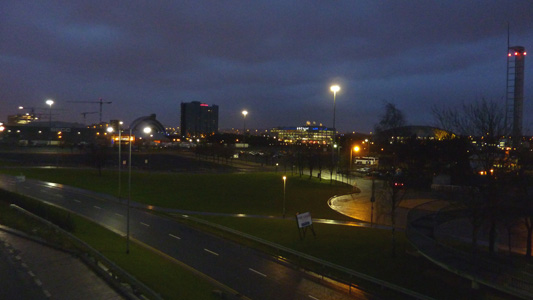
Approaching the Heliport and end of Kelvin Walkway
