|
[The Sussex Diamond Way]
[The Wey-South Path] [The Essex Way] [Links] [Stour & Orwell] [Thanet Coast Path] [Grand Union] [Wealdway] [HWLT] [SDW] [Elham] [Regents Canal] [1066] [SSW] [PW NCP] [Cotswold] [SVW] [DVP] [SBP] [Thames] [SWCP] [Gipping Valley River Path] [Speyside] [Three Castles Path] [GGW] [Eden] [NDW] [Capital Ring / Parkland Walk] [MVW] [The Loop] [Ridgeway] [TWC] [RMCP] [SMW] [Fife Coastal Path] [OVW] [Vanguard] [Lea Valley Walk] [Resources] [Greensand Way] [The Monarch's Way] [E2] [Sandlings Walk] [Solent Way] [Weavers Way] [Fynn Valley Way] [Scafell Pike] [Snowdon] [Ben Nevis] [Pentland Hills] [Hangers Way] [Staunton Way] [Downs Link] [Airdrie Bathgate Cycle Path] [Thames Down] [Marriot's Way] [Bournemouth Coast Path] [Forest Way] [Icknield Way] [Suffolk Coast Path] [Angles Way] [River Parrett Trail] [New River Path] [Stour Valley Path] [St Edmund Way] [Centenary Walk] [John Muir Way] [Paston Way] [East Mendip Way] [Orford Ness] [Lindisfarne] [Southern Upland Way] [Berwickshire Coastal] [Beverley Brook Walk] [Chess Valley Walk] [West Mendip Way] [Strawberry Line] [Colne Valley Trail] [Hillingdon Trail] [Huddersfield Canal Towpath Walk] [Trans Pennine Trail] [Pennine Way] [North Berwick Law] [Green Chain Walk] [Ridgeway London] [Waterlink Way] [Greenwich Meridian Trail] [Shuttle Riverway] [Kelvin Walkway] [Clyde Walkway] [Union Canal Walk] [New Lipchis Way] [Brent River Park Walk] [Dog Rose Ramble] [Pymme's Brook Trail] [Dollis Valley Greenwalk]
|
The Pentland Hills are a range of hills to the south-west of Edinburgh, Scotland. The range is around 20 miles in length, and runs south west from Edinburgh towards Biggar and the upper Clyde Valley
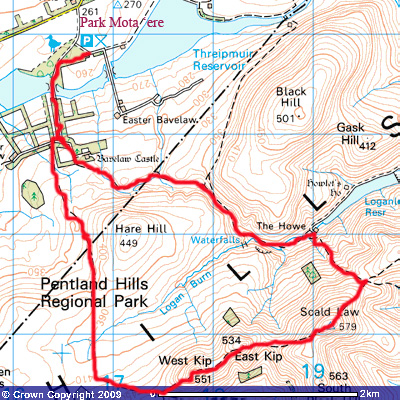
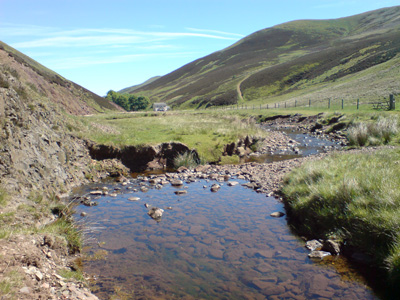
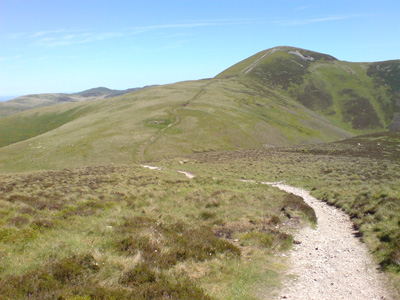
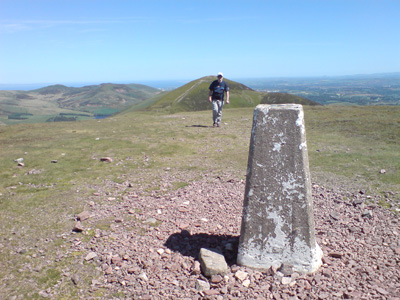
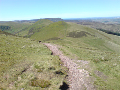
The route Circular from Balerno (Threipmuir Reservoir)Scald Law - East Kip - West KipSaturday 30 May 2009 - 6.5 Miles / 4.5 HoursID30052009#17 Penultimate day in Scotland - started around 1030. From the Car Park you cross a causeway across Threipmuir Reservoir (one of many supplying water to Edinburgh) and follow a tarmac private drive, rising up towards Bavelaw Castle. Then following South Easterly in a valley between Hare Hill and Black Hill on a lesser path signed to Penicuik. Passing waterfalls on the way, at Loganlea reservoir the serious business begins - a strenuous climb up to a crosspath, then turning right up to the summit of Scald Law (579m) - marked with a trig point. After a quick rest, another loss of altitude before climbing up to East Kip (534m) and a very welcome lunch, with a wonderful view north towards the Forth, Edinburgh, Fife etc. Eventually, another descent, then climb up and across West Kip (551m) and then down on the path to a lower level and a undulating walk back to the car park. A short drive back to Livingston and a good rest. It is wonderful having such pretty hills almost on the doorstep.
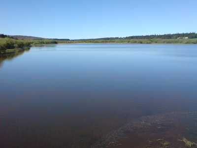
Threipmuir Reservior
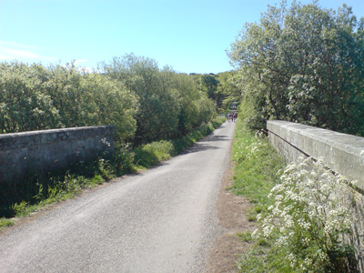
Nice easy tarmac bit
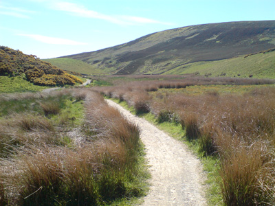
Lovely path in the valley
Logan Burn
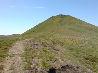
The slog up to Scald Law
Dad approaching Trig Point
East Kip and West Kip from Scald Law
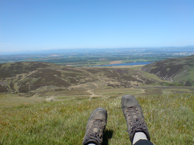
Lunch on East Kip - Threipmuir in distance
West Kip
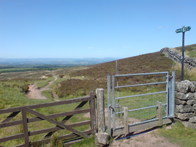
The hard work is over - back on lower level path
The path to Balerno |
|
