[The Wey-South Path]
[The Essex Way]
[Links]
[Stour & Orwell]
[Thanet Coast Path]
[Grand Union]
[Wealdway]
[HWLT]
[SDW]
[Elham]
[Regents Canal]
[1066]
[SSW]
[PW NCP]
[Cotswold]
[SVW]
[DVP]
[SBP]
[Thames]
[SWCP]
[Gipping Valley River Path]
[Speyside]
[Three Castles Path]
[GGW]
[Eden]
[NDW]
[Capital Ring / Parkland Walk]
[MVW]
[The Loop]
[Ridgeway]
[TWC]
[RMCP]
[SMW]
[Fife Coastal Path]
[OVW]
[Vanguard]
[Lea Valley Walk]
[Resources]
[Greensand Way]
[The Monarch's Way]
[E2]
[Sandlings Walk]
[Solent Way]
[Weavers Way]
[Fynn Valley Way]
[Scafell Pike]
[Snowdon]
[Ben Nevis]
[Pentland Hills]
[Hangers Way]
[Staunton Way]
[Downs Link]
[Airdrie Bathgate Cycle Path]
[Thames Down]
[Marriot's Way]
[Bournemouth Coast Path]
[Forest Way]
[Icknield Way]
[Suffolk Coast Path]
[Angles Way]
[River Parrett Trail]
[New River Path]
[Stour Valley Path]
[St Edmund Way]
[Centenary Walk]
[John Muir Way]
[Paston Way]
[East Mendip Way]
[Orford Ness]
[Lindisfarne]
[Southern Upland Way]
[Berwickshire Coastal]
[Beverley Brook Walk]
[Chess Valley Walk]
[West Mendip Way]
[Strawberry Line]
[Colne Valley Trail]
[Hillingdon Trail]
[Huddersfield Canal Towpath Walk]
[Trans Pennine Trail]
[Pennine Way]
[North Berwick Law]
[Green Chain Walk]
[Ridgeway London]
[Waterlink Way]
[Greenwich Meridian Trail]
[Shuttle Riverway]
[Kelvin Walkway]
[Clyde Walkway]
[Union Canal Walk]
E2

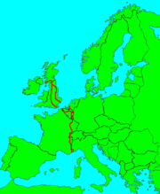
British section: Stranraer - Harwich or Dover 2297km/1436 miles total
The British section of the E2 is basically a northwards extension of the famous GR5, linking the Low Countries with the Riviera via the French Alps. It was opened in 1999, though some short sections still remain to be waymarked.
The Irish section via Belfast is not yet open, so the route starts at Stranraer, and takes in the Southern Uplands and the Pennines before splitting in two. The eastern route links the Yorkshire Wolds, the Humber estuary and the Fens to reach Harwich. The western alternative touches the Peaks, the Cotswolds, the Thames Valley and the North Downs on its way to Dover.
The E2 is made up of sections of existing paths, and is generally only waymarked in its own right at major junctions.
Ramsey to Harwich International
Monday 31 Dec 2007 - 2 Miles
The purely E2 to Parkeston Quay Port (Harwich International) as the Essex Way branches south, then loops to Harwich Town. I am rather miffed that there is virtually no effort made to waymark the E routes...
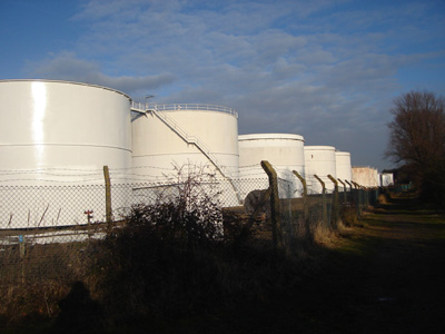
Strictly on the E2 - The refinery near Harwich International
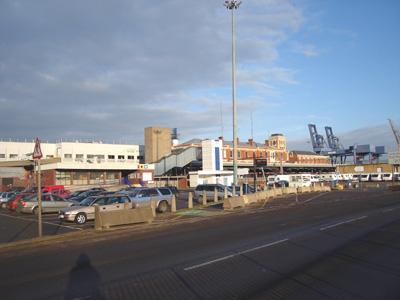
Harwich International - Ferries to Hoek Van Holland and Esbjerg, Denmark
Weybridge to Guildford
Sunday 20 July 2008 - 15 Miles
ID20072008#25
By walking this section I have now walked the Western varient contigiously from Oxford to Dover. Most of the E2 is coincident with other long distance paths but this is one of several sections that are purely the E2.
Another great day - lovely walk. Started at the bridge on Weybridge Road over the Wey Navigation (which goes onto Goldalming, another 5 miles beyond Guildford)
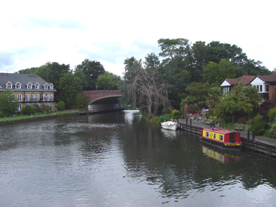
Looking towards the Thames junction (around another mile North)
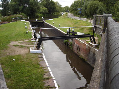
Weybridge town lock
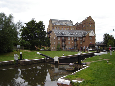
Coxes Lock
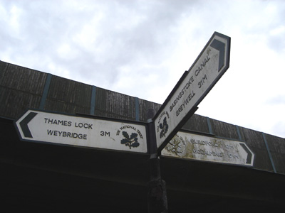
Junction with the Basingstoke Canal at Byfleet. Another one to do sometime...
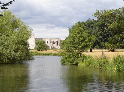
Newark Priory hidden in trees
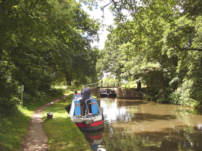
Newark Lock
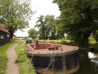
National Trust maintenance depot
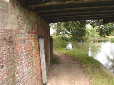
Rollers on a bend in the navigation - for towing
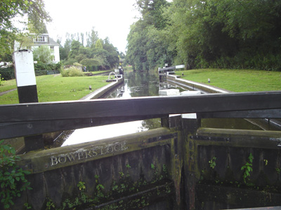
Bowers Lock
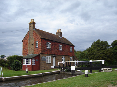
Stoke Lock
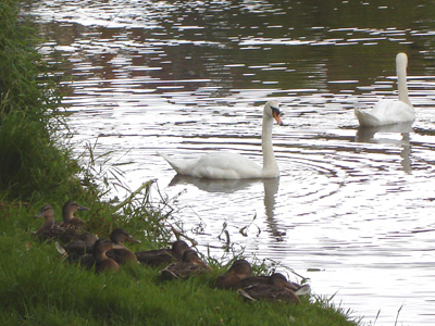
Critters!
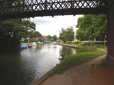
Approaching Guildford
