[The Wey-South Path]
[The Essex Way]
[Links]
[Wealden Walks]
[Stour & Orwell]
[Thanet Coast Path]
[Grand Union]
[Wealdway]
[HWLT]
[SDW]
[Elham]
[Regents Canal]
[1066]
[SSW]
[PW NCP]
[Cotswold]
[SVW]
[DVP]
[SBP]
[Thames]
[SWCP]
[Gipping Valley River Path]
[Speyside]
[Three Castles Path]
[GGW]
[Eden]
[NDW]
[Capital Ring / Parkland Walk]
[MVW]
[The Loop]
[Ridgeway]
[TWC]
[RMCP]
[SMW]
[Fife Coastal Path]
[OVW]
[Vanguard]
[Lea Valley Walk]
[Resources]
[Greensand Way]
[The Monarch's Way]
[E2]
[Sandlings Walk]
[Solent Way]
[Weavers Way]
[Fynn Valley Way]
[Scafell Pike]
[Snowdon]
[Ben Nevis]
[Pentland Hills]
[Hangers Way]
[Staunton Way]
[Downs Link]
[Airdrie Bathgate Cycle Path]
[Thames Down]
[Marriot's Way]
[Bournemouth Coast Path]
[Forest Way]
[Icknield Way]
[Suffolk Coast Path]
[Angles Way]
[River Parrett Trail]
[New River Path]
[Stour Valley Path]
[St Edmund Way]
[Centenary Walk]
[John Muir Way]
[Paston Way]
[East Mendip Way]
[Orford Ness]
[Lindisfarne]
[Southern Upland Way]
[Berwickshire Coastal]
[Beverley Brook Walk]
[Chess Valley Walk]
[West Mendip Way]
[Strawberry Line]
[Colne Valley Trail]
[Hillingdon Trail]
[Huddersfield Canal Towpath Walk]
[Trans Pennine Trail]
[Pennine Way]
[North Berwick Law]
[Green Chain Walk]
[Ridgeway London]
[Waterlink Way]
[Greenwich Meridian Trail]
[Shuttle Riverway]
[Kelvin Walkway]
[Clyde Walkway]
[Union Canal Walk]
[New Lipchis Way]
[Brent River Park Walk]
[Dog Rose Ramble]
[Pymme's Brook Trail]
[Dollis Valley Greenwalk]
[Wandle Trail]
[Celandine Route]
[Paths to Prosperity]
Paths to Prosperity - Page One - Walks 1 to 10 |

A series of 47 circular walks of varying length and difficulty, taking in the varied countryside of East Sussex, promoted by the County Council. I have previously been entirely fixated on Long Distance Walking / Waymarked routes, but as an additional source of walking mid week or when pushed for time these should hit the spot and give me an extra walking 'fix'! As and when completed they will follow underneath this table, which lists all the routes available. They also seem to be aimed at promoting the patronage of local businesses.
For Some reason, the walk numbering is not the same as alpha order, so I have decided to list them in alpha.
Wellingham – walk 1
Monday 20 August 2012 - 1.5 Miles
ID20082012#46
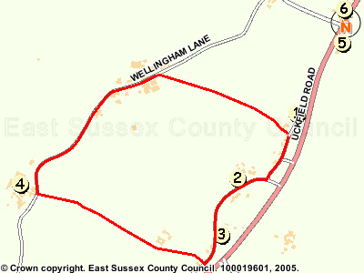
Just a quickie, on way to cinema at Brighton Marina - one of the shortest walks in the PTPT 'collection'. Starting from the Cock Pub at Wellingham, walking South along the road initially, turning right and passing Goldcliff Nurseries, then second footpath on the right, bearing across fields and a footbridgeto reach another road after a paddock (Welingham Lane) and soon passing Wellingham Walled Herb Garden, before taking a right onto a footpath after passing Upper Wellingham Farm, crossing fields to soon reach a stile and then driveway, raching the road by 'The Cock' but slightly south, then I just walked back up to the pub, met up with my mate who had been cooked in the mota (a hot day) and we went into the pub for a cheeky half (appletise) before heading off to the flicks - a nice little micro walk

Mota parked at 'The Cock'
Cock Marling – walk 4
Thursday 5 April - 4 Miles
ID05042012#17
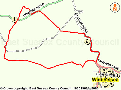
The second of today's circulars. I parked the mota at Winchelsea station, and after filling my face with some lunch, started the walk. You walk back down the lane to the bottom of the hairpin bend on the torturous A259, then follow the 1066 Country Walk briefly westwards, then follow the valley and run reasonably parallel with the railway and the River Brede, before reaching a crossing of the railway and river, leading North to a road at Float Farm. Here you have a little climb up the valley side to reach the B2089 by a pub, before crossing the road and following a path North East to reach a bridleway followed back to the B2089, where you walk along the reasonable verge before going left and follwoing paths across farmland, descending back to the valley floor, crossing the Float Farm Lane again (much further East), then running diagonally across farmland to pop out by Winchelsea Station. I then drove the short distance back home, still feeling a bit fluey and tired, but glad to get out on the trail again
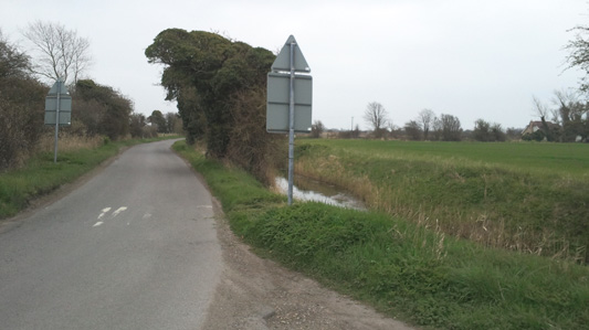
Road walk from Winchelsea Station to Winchelsea Hill
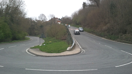
Winchelsea Hill Hairpin - A right bastard to chuck a bus round, with the added frisson of trying to avoid hitting the arch/oncoming vehicle at the top...anyway, it's easy when walking, just turn right at the bottom!
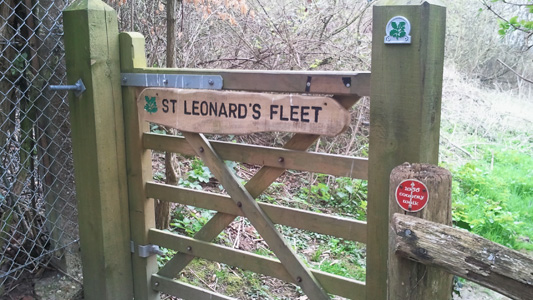
Near Winchelsea - briefly following the 1066 Country Walk
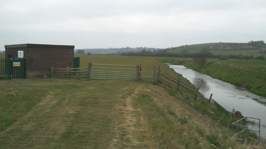
Another encounter with the River Brede
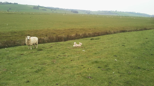
Mummy sez keep away from my Lambs or else...
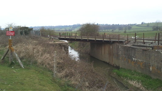
Rail River Bridge combo thing...hang a right here, but look out for the Southern Railway 'Caterpillars'!
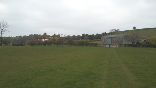
Near Float Farm
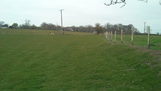
Nearly at Udimore Road
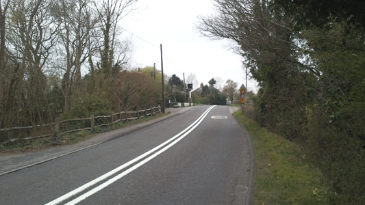
Udimore Road, Cock Marling
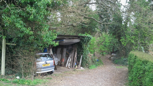
After a short loop north of Udimore road, a small vergeside section takes you down here like...
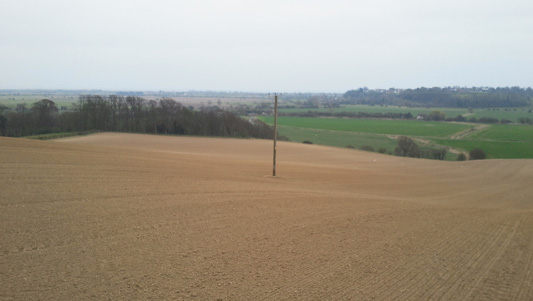
Back into the valley, down this dusty field
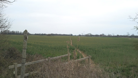
After recrossing the lane at the bottom, diagonal approach to Winchelsea Station
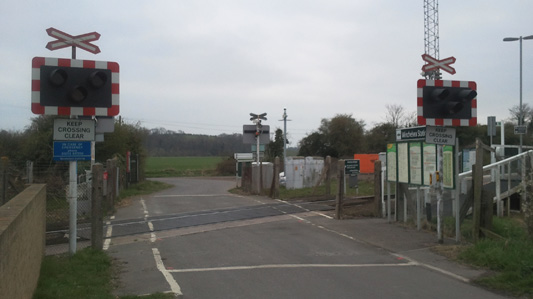
Ungated Crossing Shenanigans
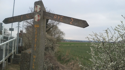
Rather dejected looking fingerpost and faded waymarks...that's it, I'm off home!
Doleham - Walk 8
Thursday 22 March 2012 - 6 Miles
ID22032012#14
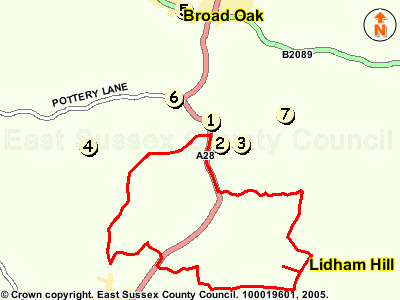
My fourth walk of the series, probably the most enjoyable to date. A circuit starting from Doleham, to cross the A28 and into the Brede Valley, returning via Brede Waterworks and The River Brede and Doleham Ditch. A helpful Burger Van at the Bottom of Brede Hill enabled a quick coffee refresh. A lovely walk on a warm sunny day. Unfortunately I had forgotten my trusty Lumix so had to use Galaxy for piccies
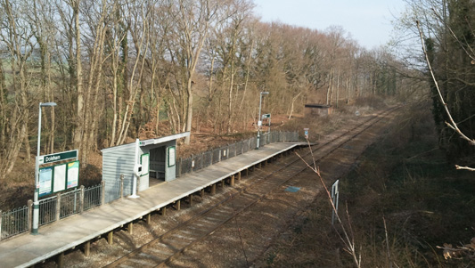
Doleham Halt. Useless as the Turbostars sail straight through on their way to Ashford! I parked my car just by the station
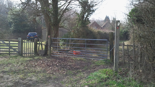
Another 1066 reload - followed to Pattleton's Farm
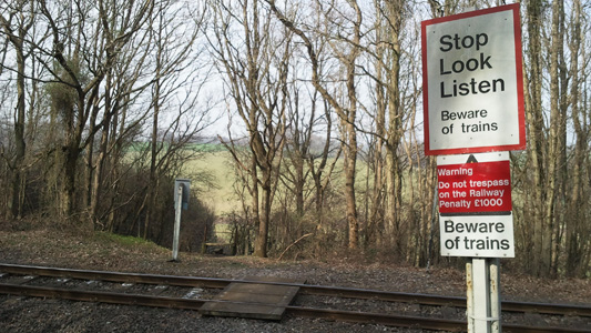
Crossing the line near Doleham Ditch
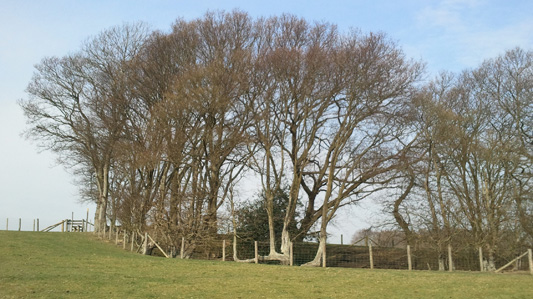
Climbing up a little Hill at Doleham Ditch - Just after junction with Hastings Link
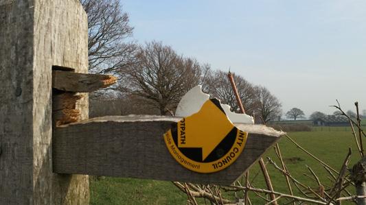
Oh dear, they got a bit carried away when cutting this hedge
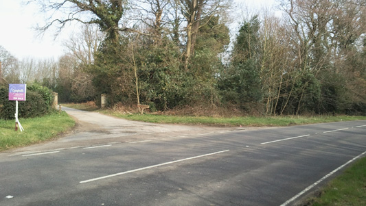
Crossing the A28 at Westfield
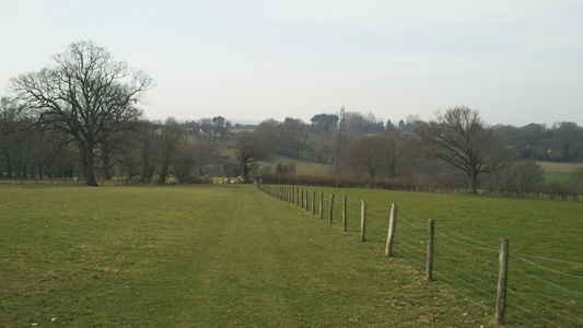
Near Crowham Manor
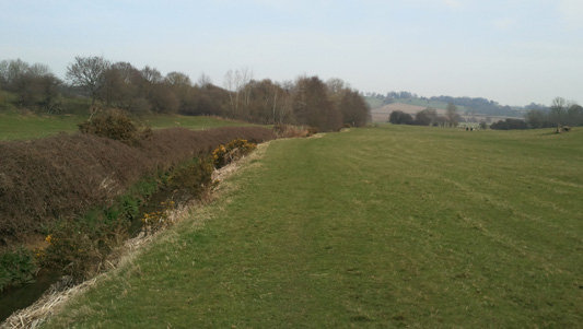
Near Brede Waterworks. I was watching some sweet lambs frollicking in the sunshine
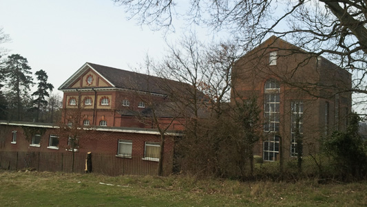
Brede Waterworks. There are still steam engines here to be viewed in operation sometimes
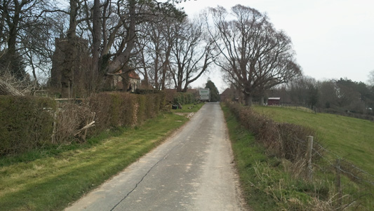
Walking to Brede Church - this part shared with the Broad Oak Walk
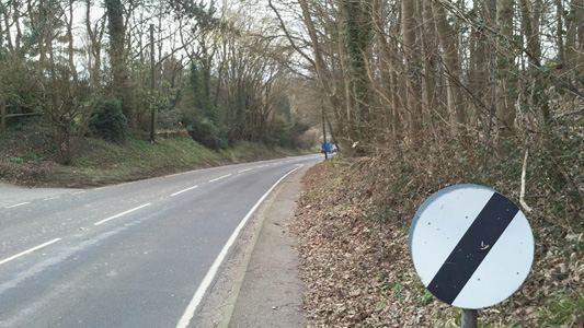
Following the A28 downhill from Brede
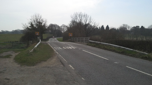
A28 river Brede Bridge. Carrying my coffee from the adjacent burger van...as you do
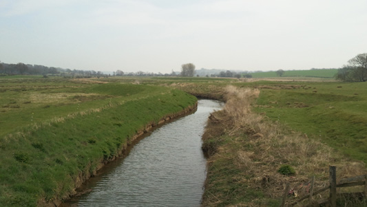
Following the River Brede eastwards
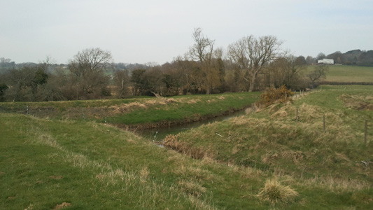
Following Doleham Ditch at confluence
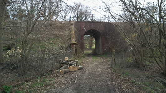
This time under the Ashford Line
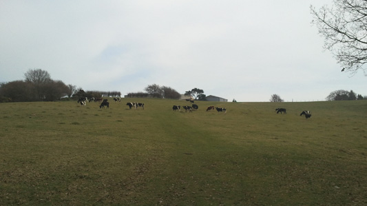
Climbing up to North Lane
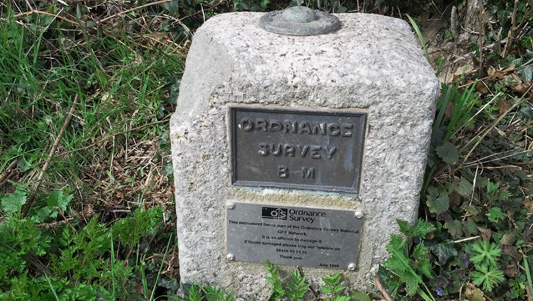
Part of the OS national GPS network - I have never seen anything like this before
Silver Hill – walk 10
Wednesday 10 October 2012 - 3 Miles
ID10102012#55
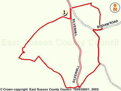
A mid week bonus on a day it was actually not raining for a change. From parking my mota at Silverhill (just north of Robertsbridge) just at the start of the Bodiam road. I took a path near the junction, following a driveway for 300 metres, then bearing off to the right between cottages, bearing left and crossing a filed to a tree line, then bearing right uphill for a couple of fields, then crossing a stile and heading over the top of a covered reservioir to reach a lane, turing right briefly, then left on a minor lane downhill towards Salehurst, turing right at a footpath by a cottage, then heading along the left hand side of a couple of fields heading slowly down to another filed, crossed diagonally, then crossing the A21, following the busy road uphill very briefly, crossing then heading along a driveway uphill to follow forward at the end of the driveway into fields, bearingf right almost immediately, to follow downhill, with beautiful views over the to the Southwest. Also here I came across a lot of patches of quite large funghi (pictured). Soon I was turing left at the bottom of these fields, then uphill slowly to reach a rough track leadsing up to Ockham House. This bit was not very well waymarked, and I came across a gate marked 'private' but had to go forward to reach the main driveway - and this is also quite clearly the legal OS map public footpath. While dithering over these details a rather surreal experience of a Mercedes Limousine drawing up next to me with blacked out windows occured - no one opened a window or said anything - but It felt like a window would come down and I would be staring down the barrel of an Uzi 9mm or something! I ignored this possible intimidation and just walked along the driveway for a few hundred metres to a large stupid unecessary gate onto the road that I had to find a way round - the people here have obviously got something to hide. Anyway, apart from this somewhat unsettling experinece it was a good walk - job done!!
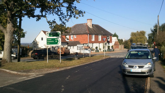
Mota dumped here, just by the A21 between Robertsbridge and Hurst Green. I have to swing my bus round this pesky corner sometimes...innit
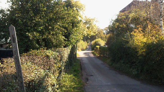
Nice little lane followed for 335 metres don't you know
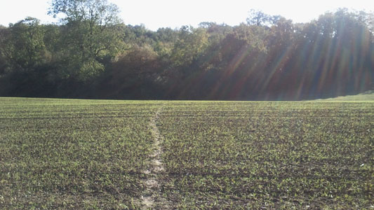
Walking on Sunshine (I know a song about that)
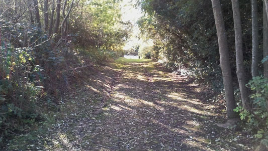
After heading uphill and crossing the lid of an underground reservoir, popping out on the lane by Stace Field Open Space
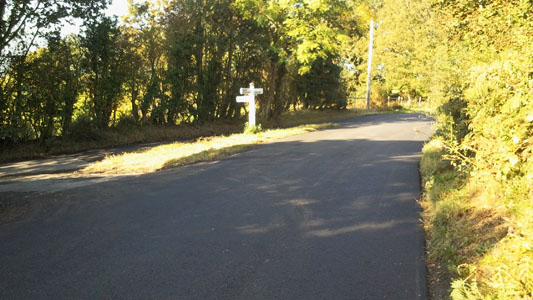
A short way down the lane, turning left down towards Salehuirst
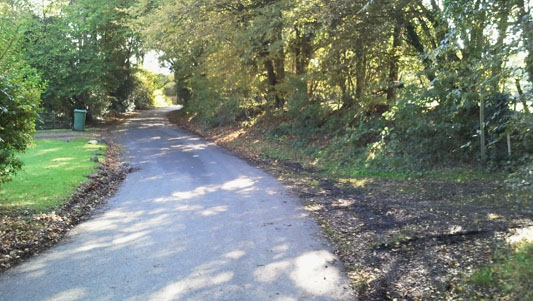
At the bottom of the Salehurst Lane, turning righ to head towards the A21
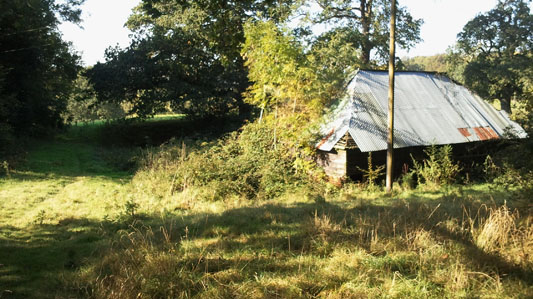
Old Tin Shack in fields leading across to the A21
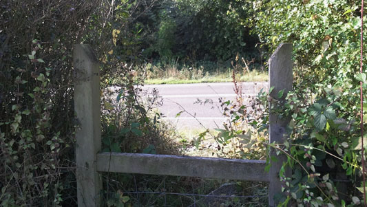
Just about to cross that pesky A21 heading west
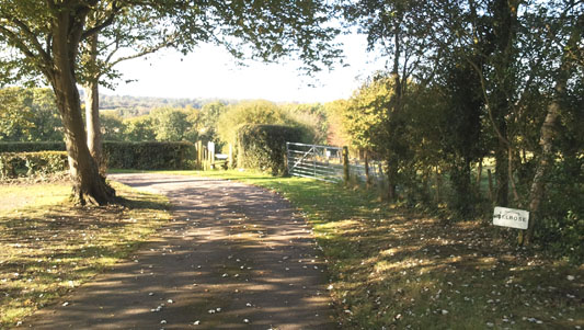
A short walk up the drive by Melrose Farm, then across the Stile and right
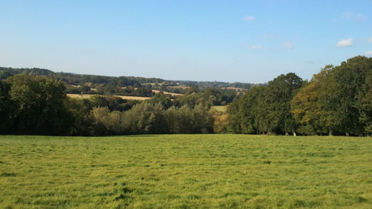
A view westwards
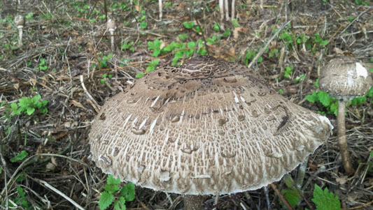
A lot of Fungi...apparently edible parasol mushroom, but I'm not taking the chance
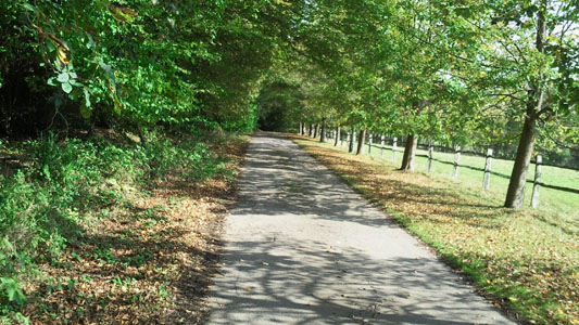
After an unclear route through to Ockham House, I followed their precious driveway to the stupid big gates and had to climb over a fence to get out back to cross the A21
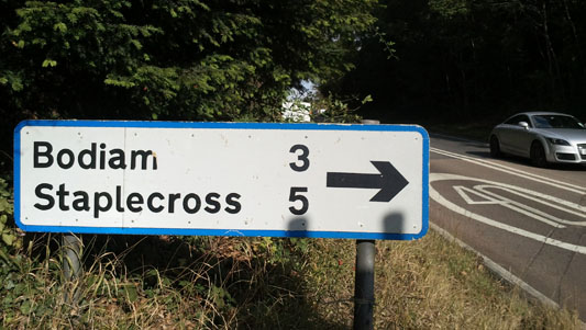
Just got to cross the A21 to get back to the car - job done
