[The Wey-South Path]
[The Essex Way]
[Links]
[Stour & Orwell]
[Thanet Coast Path]
[Grand Union]
[Wealdway]
[HWLT]
[SDW]
[Elham]
[Regents Canal]
[1066]
[SSW]
[PW NCP]
[Cotswold]
[SVW]
[DVP]
[SBP]
[Thames]
[SWCP]
[Gipping Valley River Path]
[Speyside]
[Three Castles Path]
[GGW]
[Eden]
[NDW]
[Capital Ring / Parkland Walk]
[MVW]
[The Loop]
[Ridgeway]
[TWC]
[RMCP]
[SMW]
[Fife Coastal Path]
[OVW]
[Vanguard]
[Lea Valley Walk]
[Resources]
[Greensand Way]
[The Monarch's Way]
[E2]
[Sandlings Walk]
[Solent Way]
[Weavers Way]
[Fynn Valley Way]
[Scafell Pike]
[Snowdon]
[Ben Nevis]
[Pentland Hills]
[Hangers Way]
[Staunton Way]
[Downs Link]
[Airdrie Bathgate Cycle Path]
[Thames Down]
[Marriot's Way]
[Bournemouth Coast Path]
[Forest Way]
[Icknield Way]
[Suffolk Coast Path]
[Angles Way]
[River Parrett Trail]
[New River Path]
[Stour Valley Path]
[St Edmund Way]
[Centenary Walk]
[John Muir Way]
[Paston Way]
[East Mendip Way]
[Orford Ness]
[Lindisfarne]
[Southern Upland Way]
[Berwickshire Coastal]
[Beverley Brook Walk]
[Chess Valley Walk]
[West Mendip Way]
[Strawberry Line]
[Colne Valley Trail]
[Hillingdon Trail]
[Huddersfield Canal Towpath Walk]
[Trans Pennine Trail]
[Pennine Way]
[North Berwick Law]
[Green Chain Walk]
[Ridgeway London]
[Waterlink Way]
[Greenwich Meridian Trail]
[Shuttle Riverway]
[Kelvin Walkway]
[Clyde Walkway]
[Union Canal Walk]
Chess Valley Walk

The Chess Valley Walk is approximately 10 miles (16 km) long and links with the Metropolitan Line (London Underground) stations of Chesham, Chorleywood and Rickmansworth
Chesham to Chorleywood
Sunday 12 December 2010 - 8 Miles
ID12122010#29
A groovy walk - after a long hiatus and abortive Pennine Way shenanigans. A nice ride from the rural feeling Marylebone to Chalfont & Latimer Station, then the rustic shuttle to Chesham. A reasonably pleasant walk through the town took me onto the walk proper, and my first sight of the River Chess. The walk was mostly well waymarked, but without my trusty GPS It would have gone a bit monkey a couple of times. Lovely rural Bucks countryside and easy walking mainly shadowing the river, heading East, the first significant village being at Latimer, where I had a scoff break at the church. Due to my late start, I realised that I would not be able to complete the walk to Rickmansworth, so had to take the feeder to Chorleywood, but not before passing my first ever sight of watercress beds just after Frogmore Meadow. Arrived at Chorleywood station after peeling off from the river and a walk in the dark. In summary, very pleasant and stuff
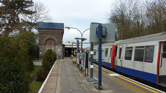
Chesham Station - All change please!
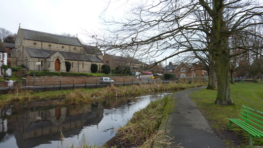
By the River Chess, Chesham
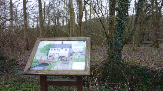
Interpretation Board for Erstwhile Canons Mill
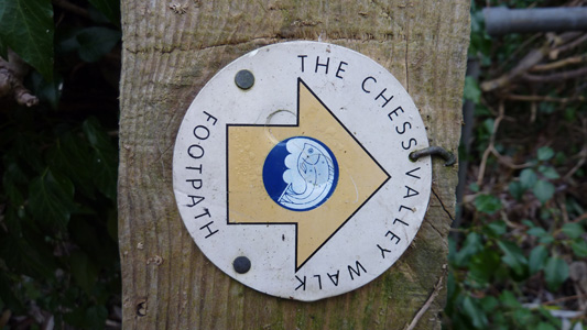
Waymark
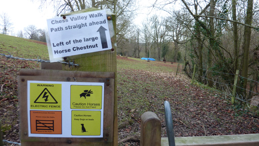
Too Much Information?
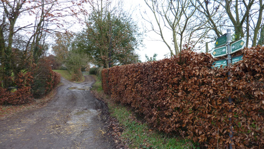
Joining the Chiltern Heritage Trail
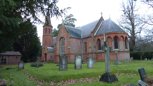
Latimer Church - My Pitstop
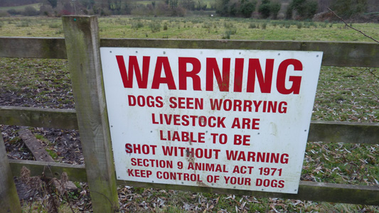
Better be on best behaviour then...
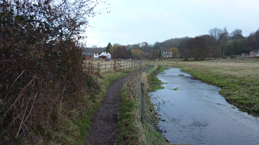
Approaching Mill Farm
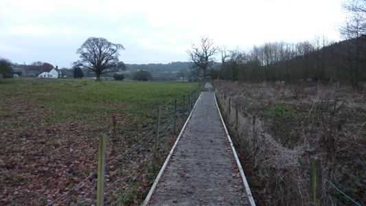
Frogmore Meadows
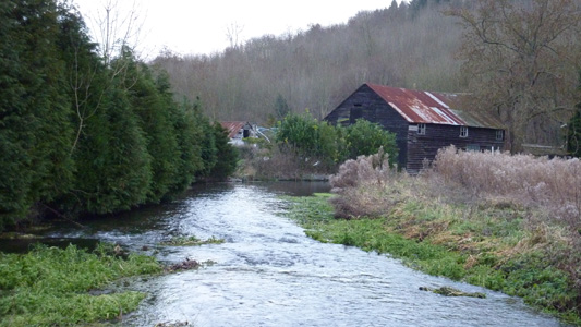
The Chess by the Water Cress Beds
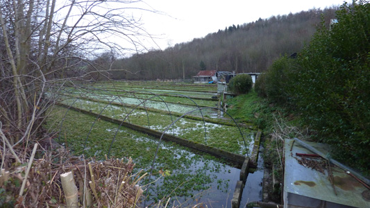
Watercress Beds
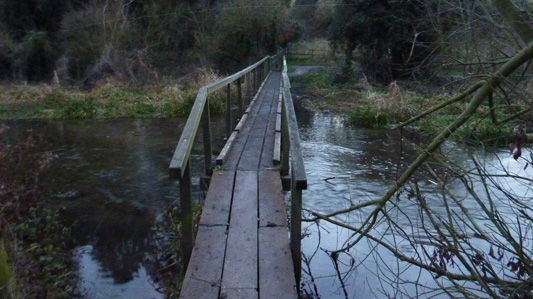
Bridge and Board walking near Chorleywood. Last image before it got too dark to continue
Chorleywood to Rickmansworth
Sunday 6 March 2011 - 4.5 Miles
ID06032011#2a
Part one of a day that saw me venture onto 4 waymarked trails - this first section completed the Chess Valley Walk. From Chorleywood station, back along the access link across Chorleywood Common, pasing Chorleywood House and back down to the banks of the river Chess. A dull section by the M25 turned into a surprinsingly rural entrance to Rickmansworth, skirting the Royal Masonic School. A brief trot past the railway station and through the centre lead me into The Aquadrome and on along the auspices of the Colne Valley Trail - in all a pleasant easy walk on a sunny sunday - luvvly!
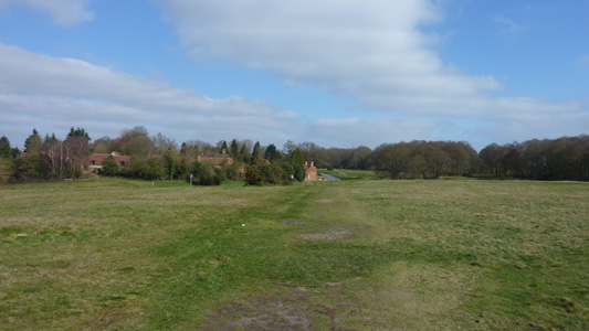
Chorleywood Common
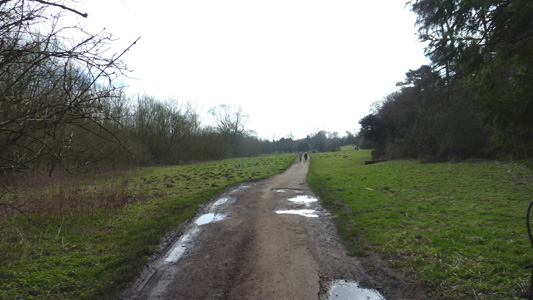
Back on track - by the Chess, Chorleywood
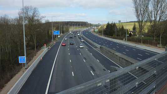
Crossing that 'marmite' of roads the M25
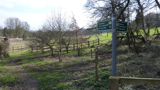
Pleasant rural countryside - right by the M25
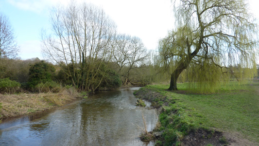
Beautiful weeping willow by the Chess, almost at Rickmansworth
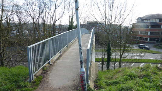
Mmm - well, a slight contrast to previous picture. This footbridge takes you across the road and railway where the Chess Valley Walk ends and the Colne Valley Trail Section begins at the Aquadrome
