|
[The Sussex Diamond Way]
[The Wey-South Path] [The Essex Way] [Links] [Stour & Orwell] [Thanet Coast Path] [Grand Union] [Wealdway] [HWLT] [SDW] [Elham] [Regents Canal] [1066] [SSW] [PW NCP] [Cotswold] [SVW] [DVP] [SBP] [Thames] [SWCP] [Gipping Valley River Path] [Speyside] [Three Castles Path] [GGW] [Eden] [NDW] [Capital Ring / Parkland Walk] [MVW] [The Loop] [Ridgeway] [TWC] [RMCP] [SMW] [Fife Coastal Path] [OVW] [Vanguard] [Lea Valley Walk] [Resources] [Greensand Way] [The Monarch's Way] [E2] [Sandlings Walk] [Solent Way] [Weavers Way] [Fynn Valley Way] [Scafell Pike] [Snowdon] [Ben Nevis] [Pentland Hills] [Hangers Way] [Staunton Way] [Downs Link] [Airdrie Bathgate Cycle Path] [Thames Down] [Marriot's Way] [Bournemouth Coast Path] [Forest Way] [Icknield Way] [Suffolk Coast Path] [Angles Way] [River Parrett Trail] [New River Path] [Stour Valley Path] [St Edmund Way] [Centenary Walk] [John Muir Way] [Paston Way] [East Mendip Way] [Orford Ness] [Lindisfarne] [Southern Upland Way] [Berwickshire Coastal] [Beverley Brook Walk] [Chess Valley Walk] [West Mendip Way] [Strawberry Line] [Colne Valley Trail] [Hillingdon Trail] [Huddersfield Canal Towpath Walk] [Trans Pennine Trail] [Pennine Way] [North Berwick Law] [Green Chain Walk] [Ridgeway London] [Waterlink Way] [Greenwich Meridian Trail] [Shuttle Riverway] [Kelvin Walkway] [Clyde Walkway] [Union Canal Walk]
|
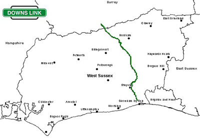
The Downs Link is a 36.7-mile (58.7 km) footpath and bridleway linking the North Downs Way at St. Martha's Hill in Surrey with the South Downs Way near Steyning in West Sussex and on via the Coastal Link to Shoreham-by-Sea. The Downs Link follows for much of its route the course of two dismantled railways - the Cranleigh Line and the Steyning Line - both of which closed in the 1960s as a result of the Beeching Axe. Monday 30 June 2008 - Chilworth to Shoreham Station - 36 MilesRight, you know by now that I don't like railways being turned into anything other than, well railways, but sometimes it's worth checking these things out. It was a long ride, and as a rather occasional cyclist, I was a bit knackered at the end, but did enjoy the experience really, it was a beautiful sunny day and with lots of nice downland scenery. The old railways go near Bramley, Baynards, Rudgwick, Christ's Hospital, West Grinstead , Henfield, Steyning and on to Shoreham. Mainly Flat(ish) and well surfaced.
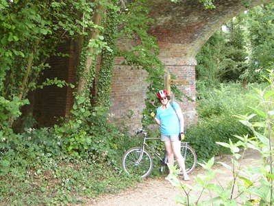
Yes...at Tannery Lane Bridge
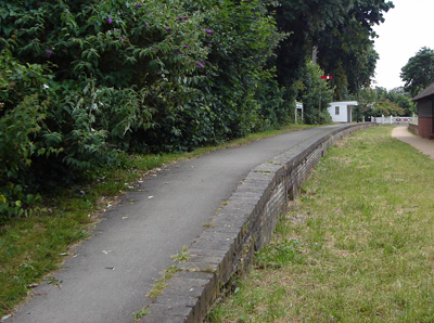
Bramley & Wonersh - A half arsed station preservation - yikes!
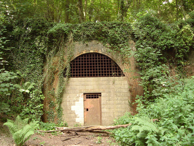
Rudgwick Tunnel - Annoyingly cannot cycle through this - might upset the bats!
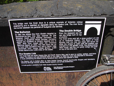
Information Plaque on bridge near Rudgwick
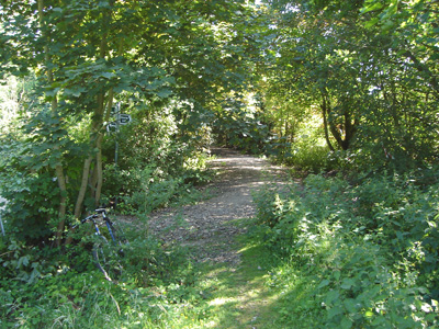
Trackbed regained near Christ's Hospital after a section on roads, adjacent to still functioning railway to Horsham
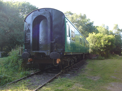
Mk1 at West Grinstead
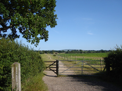
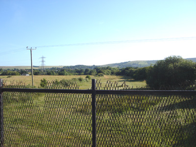
Near Henfield - approaching the South Downs
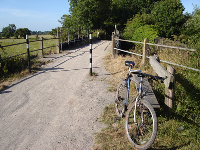
My bike near Henfield - and a rest
Wyckham Farm near Steyning. There's always at least one 'Git Oirf Moi Larnd' type - so trackbed inaccessible - just compulsary purchase his sorry ass!
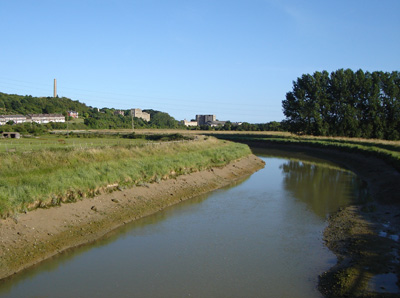
Abandoned Cement works in distance adjacent to the Adur
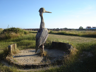
Impressive wooden sculpture near Shoreham |
||||
