|
[The Sussex Diamond Way]
[The Wey-South Path] [The Essex Way] [Links] [Stour & Orwell] [Thanet Coast Path] [Grand Union] [Wealdway] [HWLT] [SDW] [Elham] [Regents Canal] [1066] [SSW] [PW NCP] [Cotswold] [SVW] [DVP] [SBP] [Thames] [SWCP] [Gipping Valley River Path] [Speyside] [Three Castles Path] [GGW] [Eden] [NDW] [Capital Ring / Parkland Walk] [MVW] [The Loop] [Ridgeway] [TWC] [RMCP] [SMW] [Fife Coastal Path] [OVW] [Vanguard] [Lea Valley Walk] [Resources] [Greensand Way] [The Monarch's Way] [E2] [Sandlings Walk] [Solent Way] [Weavers Way] [Fynn Valley Way] [Scafell Pike] [Snowdon] [Ben Nevis] [Pentland Hills] [Hangers Way] [Staunton Way] [Downs Link] [Airdrie Bathgate Cycle Path] [Thames Down] [Marriot's Way] [Bournemouth Coast Path] [Forest Way] [Icknield Way] [Suffolk Coast Path] [Angles Way] [River Parrett Trail] [New River Path] [Stour Valley Path] [St Edmund Way] [Centenary Walk] [John Muir Way] [Paston Way] [East Mendip Way] [Orford Ness] [Lindisfarne] [Southern Upland Way] [Berwickshire Coastal] [Beverley Brook Walk] [Chess Valley Walk] [West Mendip Way] [Strawberry Line] [Colne Valley Trail] [Hillingdon Trail] [Huddersfield Canal Towpath Walk] [Trans Pennine Trail] [Pennine Way] [North Berwick Law] [Green Chain Walk] [Ridgeway London] [Waterlink Way] [Greenwich Meridian Trail] [Shuttle Riverway] [Kelvin Walkway] [Clyde Walkway] [Union Canal Walk] [New Lipchis Way] [Brent River Park Walk] [Dog Rose Ramble] [Pymme's Brook Trail] [Dollis Valley Greenwalk] [Wandle Trail] [Celandine Route]
|
The River Parrett Trail
The River Parrett is one of the main rivers draining the Somerset Levels, or Plain of Sedgemoor. It's source is the green hills on the Dorset and South Somerset border at Chedington, from where it flows northwards to enter the Bristol Channel near Burnham on Sea. The River Parrett Trail is one of England's beautiful 'source to mouth' river routes all of which offer fabulous walking enhanced by the facinating presence of water. The River Parrett Trail can be enjoyed as a 50 mile hike over 3 or 4 days or as a series of shorter walks exploring some of England's most beautiful, intriguing but also fragile countryside. This is comfortable walking through the gentle hills of the Dorset and Somerset borders and across the wetlands of the Somerset Levels and Moors. It is also a facinating journey through orchards, woods, withy beds and the watery haunts of birds and fishermen; passing limestone cottages, Georgian terraces, elegant mediaeval churches and the elaborate pattern of rhynes and water courses of the low land. On the way you can visit Ham Hill - the site of one of Europe's largest Iron Age hill forts, Stoke St. Gregory - the heart of the Somerset willow growing and basket making industry, Burrow Mump and Athelney - where the Saxon King Alfred found a refuge from the Vikings (and burnt the cakes). At Ham Hill the route links with the Liberty Trail and the Leland Trail. Curiously, the course of the trail that I screwed up between Combwich and Bridgwater that used to go away from the river at a sluice has now been realigned along the route I took, faithful to the River - but only shown this way on latest OS! Steart to BridgwaterSaturday 3 October 2009 - 11 MilesID03102009#30 First trip to West Country this year, it has just been so difficult to get there due to work commitments and other circumstances. I really needed a Somerset fix, due to no SWCP walking in 2009. After a quick shufty round Glastonbury, asked friend to drop my carcass at the remote spot of Steart, on the opposite side of the River Parrett to Burnham-On-Sea. A big mess up was not having my OS map to hand, so was a bit daunted when dropped off in the middle of nowhere. Fortunately easy to follow, initially to the path's end at the estuary, then doubling back again, gaining the river after passing through Steart, and then down to Combwich, shortly regaining the river again. At Stallington's Clyce it all went pear shaped. Even though I had managed to take a picture of an OS map extract on a notice board and it looked like the path then split from the river, the waymarkers showed that I should continue by the river. After going down both alternatives for a short distance, I decided on the river path, and it continued to be waymarked as the River Parrett Trail for a time, then reverting to standard waymarkers. I knew something was wrong, as what should have been around 8 miles walk turned into 11 by the time I had followed the ceaseless amount of meandering to reach Bridgwater. In retrospect this was the wrong choice but more fool me for having the cheek to expect waymarking to actually make the route clear! At Bridgwater killed time in ASDA before getting a bus back to Burnham, by which time it was very windy and a bit wet
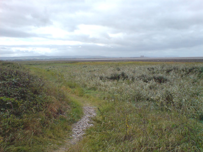
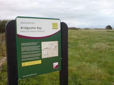
Bridgwater Bay, after carcass drop in middle of nowhere
Told you innit
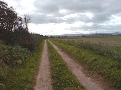
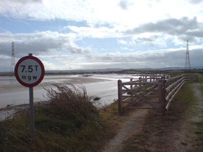
Track leading from Steart to the river
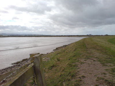
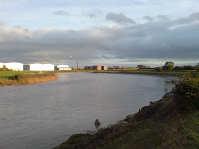
One of the river's many meanders. Hinkley Point Nuclear Power Stations in distance
Approaching Combwich
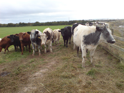
These cows followed me and it got a bit scary. This was the strange section where I could not work out wether to carry on following the river bank, or trying to follow the non waymarked path leading inland. Considering as this is after all, the River Parrett Trail, I guessed that the river bank made most sense...
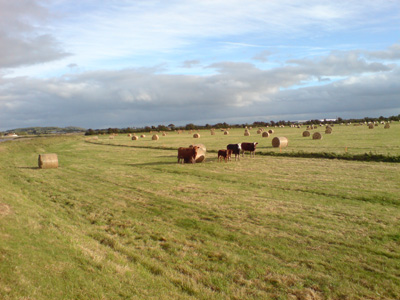
Being checked out by cows again, on the long slog into Bridgwater
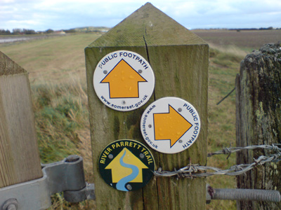
In stark contradiction to the OS map 'diamonds' showing deviation at Stallington's Clyst, the river bank continues on with a few sporadic official waymarkers!
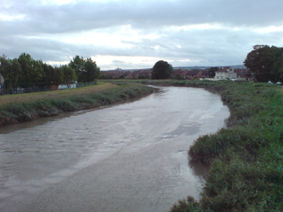
Eventually getting to Bridgwater Outskirts
Just round this corner, finally reaching the first bridge of Bridgwater. Without a map I had a bit of guesswork to reach the town centre
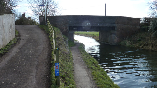
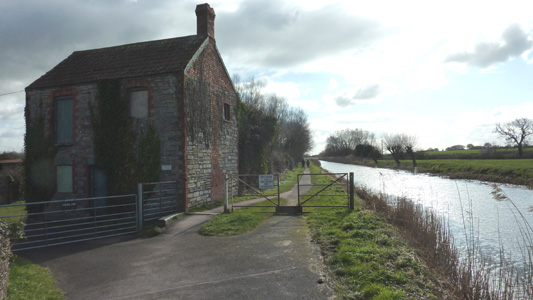
Bridgwater to LangportSunday 19 February 2012 - 12.5 MilesID19022012#8 Last day in Somerset and nearly two and a half years later, finally do another section, although I will probably get as near as dammit finished in the Summer. The day started badly, with a cock up regarding bus stops on a Sunday, so I bloody mindedly decided to take the train to Bridgwater, which set me back an hour and a half by the time I had walked to the station and waited for a late train. Anyway, finally at Bridgwater, walked to the start of the Bridgwater and Taunton Canal, on the edge of town, passing the collapsed wall at East Quay and then following the canal from its erstwhile connection into the River Parrett, round the edge of town and passing under the M5. The canal is followed for four miles, passing much interesting industrial archeology and some of the Somerset Space Walk, before peeling off at Fordgate to rejoin the River Parrett, which is then followed faithfully to the edge of Langport, passing a couple of pumping stations, and Burrow Mump, which is similar to Glastonbury Tor and owned by the National Trust, and a splendid place for a bit of munch and a view. At Stathe, you walk the rest of the way sandwiched between the Sowy River and the Parrett. This walk is easy and level and on a beautiful sunny day I was tripping on Endorphins (A natural High Rocks). Passing under the Railway Bridge and eventually into Langport, where my carcass was bundled into the Mota for a long drive back to Hastings via a friends gaff in Frome - I cannot wait to get back out West...
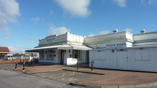
Bridgwater Station
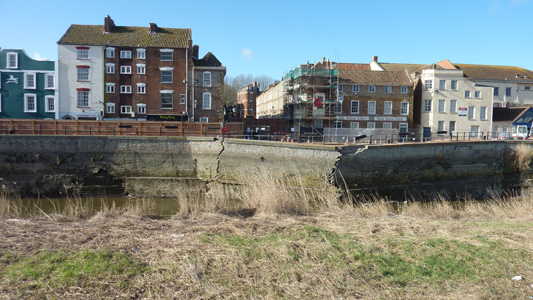
Oh Dear...East Quay Gone a bit Munky
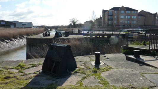
Start of the Bridgwater and Taunton Canal - Old lock into River Parrett no longer operational as the canal conveys potable water and a dose of brackish water would not be nice!
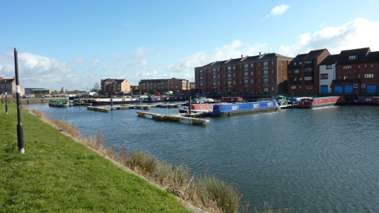
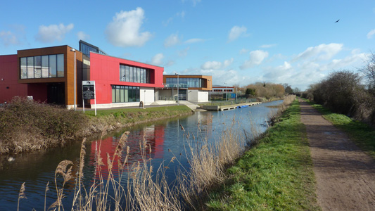
The Inner Lock Marina sort of thing. Looking back towards the outer basin and River Parrett
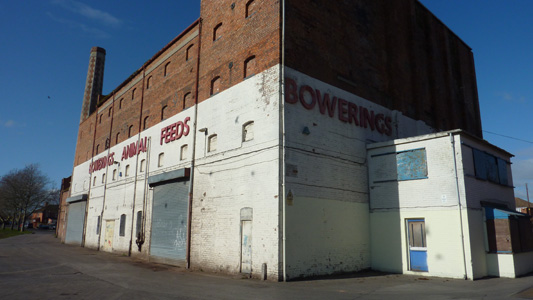
Bowerings Animal Feeds - one of very few industrial vestiges of the past
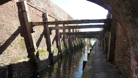
Deep cutting between West Street and Albert Street - Timbers shoring up this section with ancient 'pit' props
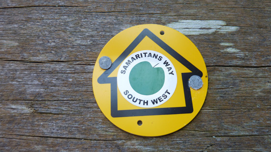
Sharing the route with the Samaritans Way South West
Bridgwater YMCA - You can get yourself cleaned, you can have a good meal, You can do whatever you feel...
One of the Space Walk Installations....I like!
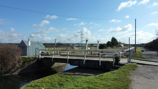
Swing Bridge - Elevated M5 in distance
Near Huntworth - several cycle routes run along the canal and river Parrett
Just cruising along the towpath
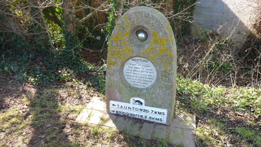
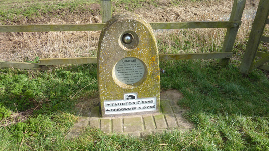
Inspecting Uranus (Cheap Joke)
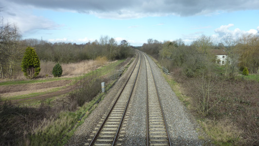
Crossing the mainline at Fordgate - leaving the canal to go back by the river
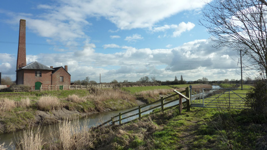
One of the pumping stations - at Westonzoyland
Approaching Moorland House Farm and a road walk towards Burrow Mump
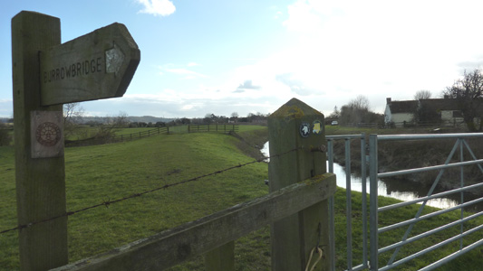
At Burrowbridge, a short deviation to climb Burrow Mump
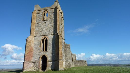
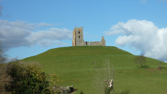
The ruins of St Michael's Church
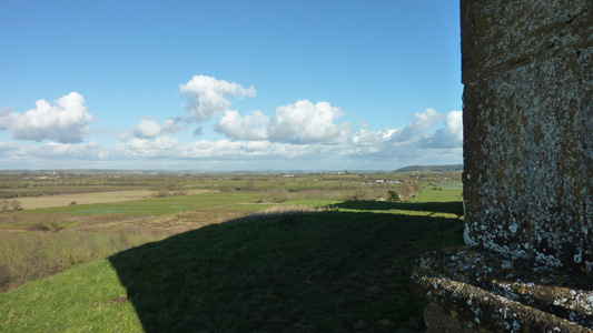
You can see for miles...
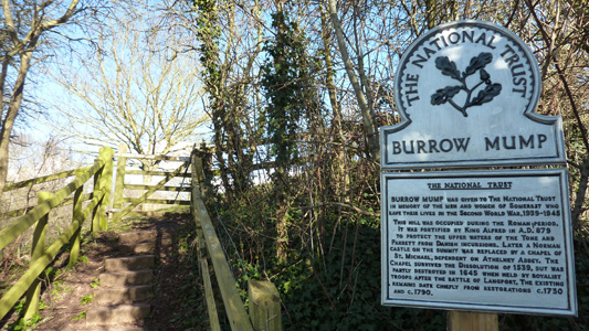
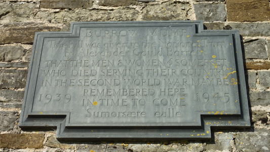
Dedication plaque for transfer to the National Trust
Burrow Mump reloaded from the Parrett
Sharing the path with the East Deane Way and Mary Michael Pilgrims Way - A pilgrimage route from Norfolk to Cornwall that I was not previously aware of
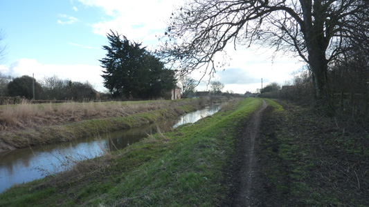
Near Oath - Sowy River on Left
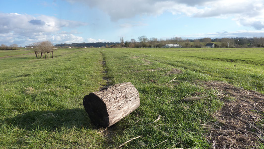
All Kids Love Log!
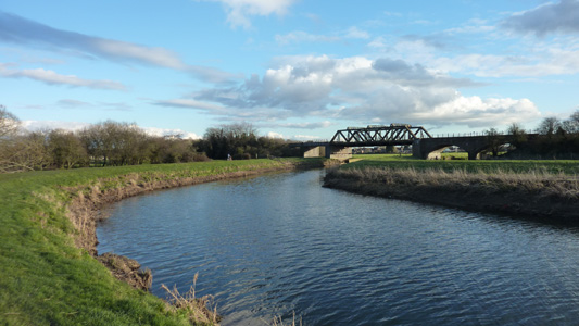
After a long hike along the river, nearly at Langport
Just bearing away from the river after the Railway and...
Here's Langport. I had about five minutes before the trusty diesel engined chariot sped me towards Frome |

