|
[The Sussex Diamond Way]
[The Wey-South Path] [The Essex Way] [Links] [Stour & Orwell] [Thanet Coast Path] [Grand Union] [Wealdway] [HWLT] [SDW] [Elham] [Regents Canal] [1066] [SSW] [PW NCP] [Cotswold] [SVW] [DVP] [SBP] [Thames] [SWCP] [Gipping Valley River Path] [Speyside] [Three Castles Path] [GGW] [Eden] [NDW] [Capital Ring / Parkland Walk] [MVW] [The Loop] [Ridgeway] [TWC] [RMCP] [SMW] [Fife Coastal Path] [OVW] [Vanguard] [Lea Valley Walk] [Resources] [Greensand Way] [The Monarch's Way] [E2] [Sandlings Walk] [Solent Way] [Weavers Way] [Fynn Valley Way] [Scafell Pike] [Snowdon] [Ben Nevis] [Pentland Hills] [Hangers Way] [Staunton Way] [Downs Link] [Airdrie Bathgate Cycle Path] [Thames Down] [Marriot's Way] [Bournemouth Coast Path] [Forest Way] [Icknield Way] [Suffolk Coast Path] [Angles Way] [River Parrett Trail] [New River Path] [Stour Valley Path] [St Edmund Way] [Centenary Walk] [John Muir Way] [Paston Way] [East Mendip Way] [Orford Ness] [Lindisfarne] [Southern Upland Way] [Berwickshire Coastal] [Beverley Brook Walk] [Chess Valley Walk] [West Mendip Way] [Strawberry Line] [Colne Valley Trail] [Hillingdon Trail] [Huddersfield Canal Towpath Walk] [Trans Pennine Trail] [Pennine Way] [North Berwick Law] [Green Chain Walk] [Ridgeway London] [Waterlink Way] [Greenwich Meridian Trail] [Shuttle Riverway] [Kelvin Walkway] [Clyde Walkway] [Union Canal Walk] [New Lipchis Way] [Brent River Park Walk] [Dog Rose Ramble] [Pymme's Brook Trail] [Dollis Valley Greenwalk]
|
Peddars Way and Norfolk Coast Path National Trail
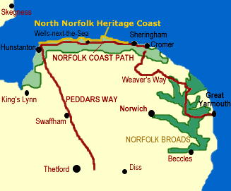
It has been a real pleasure walking in Suffolk and Norfolk. I grew up nr Leiston, Suffolk (chronologically at least) and blew the joint in 1998 when I relocated my carcass to Hastings. When I lived that 1/4 century in Suffolk, I was a moaning little Shite and nagged my long suffering folks constantly about how dull it was - but now in my dotage (late 30's!) I can't get enough of walkies when I visit my family who have stayed put (apart from Dad who has legged it up to Scotland!) The Peddars Way and Norfolk Coast Path is a 91 mile dogleg - the dog leg being when you hit the Norfolk Coast after the Peddars Way, which runs from Knettishall Heath in Suffolk to Holme-Next-The-Sea in Norfolk and have to turn right to stop yourself getting wet and stuff. The coast is then followed from Hunstanton to Cromer. I finished both thes trails between 2005 and 2006. Peddars Way Sections: Knettishall Heath to Little Cressingham, Little Cressingham to Castle Acre, Castle Acre to Hunstanton (Holme-Next-The-Sea) and Norfolk Coast Path: Holme to Burnham-Overy-Staithe, Burnham-Overy-Staithe to Blakeney, Blakeney to Cromer. I treated these as separate trails, but I am listing them both together here as that is how they are described on the National Trails website and they combine to make a reasonable distance. The walking is of course rather level, which is not a criticism, and actually makes a nice change after the undulations of the Weald and Downs, and the bloody hard work needed to progress the South West Coast Path althogh some of the sand and shingle on the coast is a bit bleedin' previous. Peddars WayKnettishall Heath to Little Cressingham14 MilesA great walk, but a bitch for transport. I borrowed me mams mota and parked at Little Cressingham, getting a coach into Watton, then a post bus to Thetford, then a cab to Knettishall Heath - what a palaver - if they had just left the railways alone, then life would have been much easier. As expected, a flat but pleasant walk through the Norfolk Countryside. Watton is a pleasant bustling little town, and it was nice to hear the local accents again
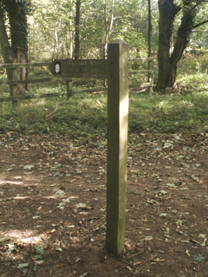
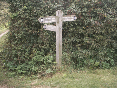
Finger post at Knettishall Heath Little Cressingham to Castle AcreSummer 2005 - 11.5 Miles
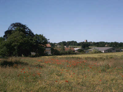
Between Little Cressingham and Castle Acre
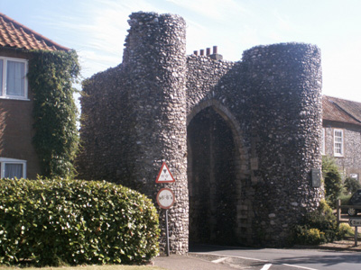
Just arriving into Castle Acre (a scorchio day in mid summer 2005) Castle Acre to Hunstanton (Holme)19.5 MilesWalked into Hunstanton to get bus
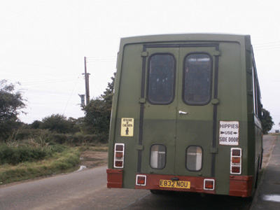
Hippies Only - near Holme
A meeting of the ways - PW and NCP at Holme
Outskirts of Hunstanton Norfolk Coast PathHolme to Burnham Overy StaitheSaturday 4 March 2006 - 13 MilesID04032006#? Drove to Holme car park. Bus back to near mota. Perishin' Cold, lunch was a hurried affair, there is very little shelter in these parts
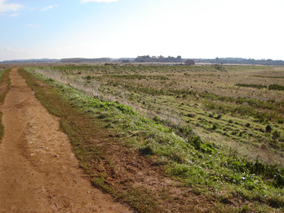
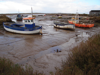
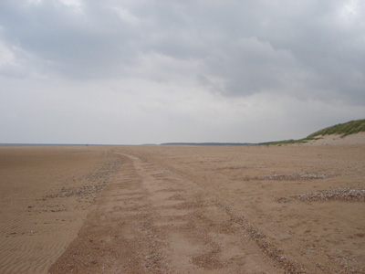
Heading east from Holme
Where am I?
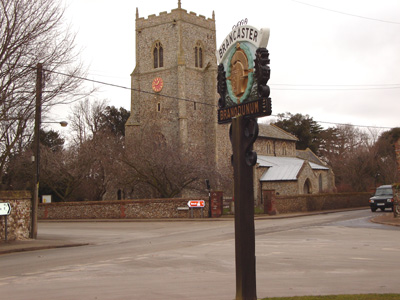
Near Brancaster
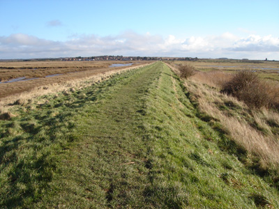
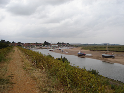
Looking towards Burnham-Overy-Staithe
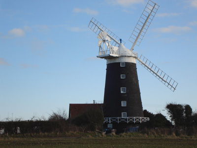
Burnham Windmill Burnham Overy Staithe to BlakeneyFriday 7 July 2006 - 14 Miles07072006#? The last few miles were a bit of a nightmare as I had to do jogging as my OS map and me had a barney about which was the right way and I run up and down like a headless chicken looking for the right path and got all stressed out and me mate was waitin in the motor at Blakeney and I was well overdue and she threw a wobbly and it all went a bit radio rental - so basically this was not my favourite walk.
Leaving Burnham
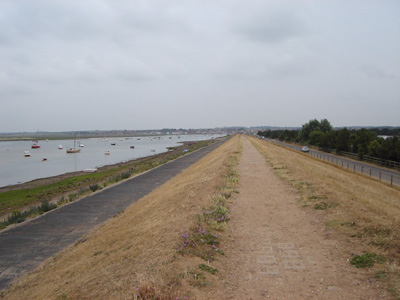
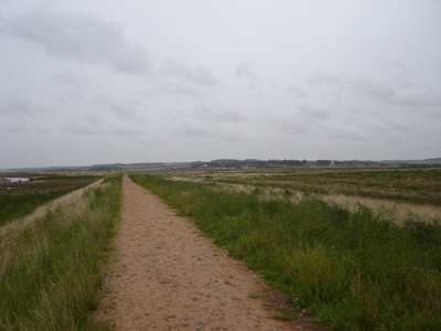
A hard slog on the sog.
The long walk into Wells-Next-The-Sea
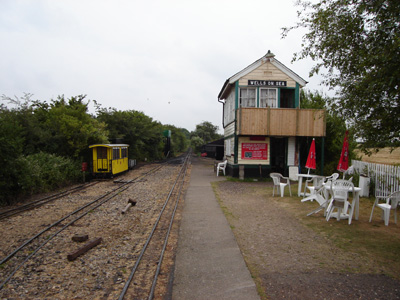
For a breather went on the Wells And Walsingham Light Railway
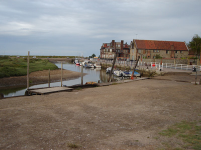
Blakeney - at last - trouble awaits in the car park! Blakeney to CromerSaturday 2 September 2006 - 16 Miles02092006#? One and only time I rode my motorcycle to my mums via Gravesend Ferry and rural Essex roads to Trimley. Train to Sheringham, bus to Blakeney, then train back from Cromer to Trimley. Walk dun!
Cley ahead
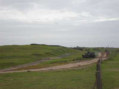
Muckleburgh Tank
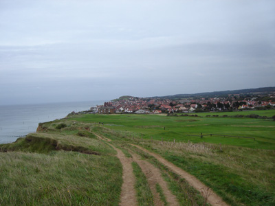
A view over Sheringham
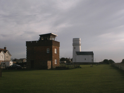
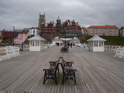
Another trail bites the dust - Cromer Pier. |

