|
[The Sussex Diamond Way]
[The Wey-South Path] [The Essex Way] [Links] [Stour & Orwell] [Thanet Coast Path] [Grand Union] [Wealdway] [HWLT] [SDW] [Elham] [Regents Canal] [1066] [SSW] [PW NCP] [Cotswold] [SVW] [DVP] [SBP] [Thames] [SWCP] [Gipping Valley River Path] [Speyside] [Three Castles Path] [GGW] [Eden] [NDW] [Capital Ring / Parkland Walk] [MVW] [The Loop] [Ridgeway] [TWC] [RMCP] [SMW] [Fife Coastal Path] [OVW] [Vanguard] [Lea Valley Walk] [Resources] [Greensand Way] [The Monarch's Way] [E2] [Sandlings Walk] [Solent Way] [Weavers Way] [Fynn Valley Way] [Scafell Pike] [Snowdon] [Ben Nevis] [Pentland Hills] [Hangers Way] [Staunton Way] [Downs Link] [Airdrie Bathgate Cycle Path] [Thames Down] [Marriot's Way] [Bournemouth Coast Path] [Forest Way] [Icknield Way] [Suffolk Coast Path] [Angles Way] [River Parrett Trail] [New River Path] [Stour Valley Path] [St Edmund Way] [Centenary Walk] [John Muir Way] [Paston Way] [East Mendip Way] [Orford Ness] [Lindisfarne] [Southern Upland Way] [Berwickshire Coastal] [Beverley Brook Walk] [Chess Valley Walk] [West Mendip Way] [Strawberry Line] [Colne Valley Trail] [Hillingdon Trail] [Huddersfield Canal Towpath Walk] [Trans Pennine Trail] [Pennine Way] [North Berwick Law] [Green Chain Walk] [Ridgeway London] [Waterlink Way] [Greenwich Meridian Trail] [Shuttle Riverway] [Kelvin Walkway] [Clyde Walkway] [Union Canal Walk]
|
1066 Walk
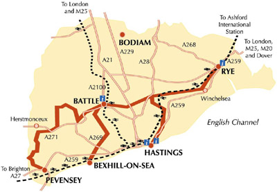
This is the nearest regional trail to my gaff and has needless to say, all been completed. There is a main route, between Pevensey and Rye and two spurs, One to Bexhill from outside Battle (6.2miles) and another to Hastings from Doleham (7.4 miles). There is also a link path to the South Downs Way from Pevensey to Eastbourne. The main route is 31 miles. I think I completed this in 2003 but my memory is on the blink. Whatever, it encompases lovely countryside and Battle and Rye are always a pleasure to visit. As it is all so close, I will certainly revist it all several times. It runs near the Hastings - Ashford rail line, and I could hear and use the ubiquitous 'Thumpers' till they were withdrawn in 2005. The new 'caterpillar' units are nice - but the 1066 walk is knackered for trains as they do not stop at Doleham or Winchelsea anymore - very clever! Completed as: Battle to Bexhill, Hastings to Doleham, Pevensey to Battle and Battle to Rye. Also an attempt to walk the link path from Pevensey to Jevington! Battle to BexhillApril 2003 - 6.2 MilesOne of my firstest ever long distance paths, until this point staying mainly on tarmac paths. I remember buying the guide book at Battle TIC, and from then on had a real thirst for doing long distance walking, there is something cosy about striding out with a map and a guide book, like having a companion when you don't - if you know what I mean. The walk was pleasant enough, being very new at this point (my Explorer only detailed the main route)
Between Battle and Bexhill
Crowhurst - There used to be a beautiful brick railway viaduct across here till some muppet blew it up 'because it was unsafe' - reckon!
Trying to outgeek myself near Bexhill - Worsham Farm. In June 09 I rewalked this section in reverse for charity (I don't mean walking backwards!) and I had walked it several times in both directions between these dates, with many excursions from Battle to Crowhurst to get home recently Hastings to DolehamMarch 2003 - 7.4 MilesI remember being a bit stumped at Hastings Country Park, but perservered and had a mainly good experience, having some problems with bad waymarking around Three Oaks. Got 'thumper' back from Doleham, so filled my boots in more than one way!
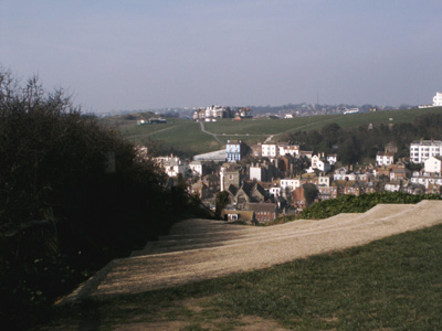
East Hill Hastings
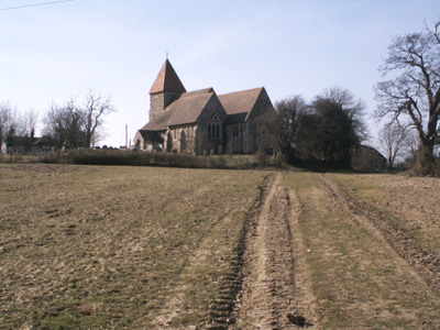
Attractive church near...Church Farm
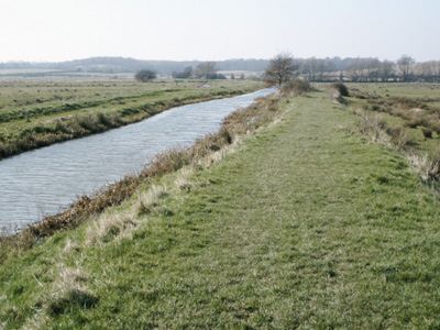
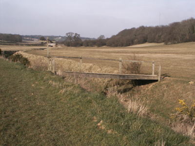
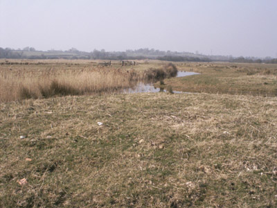
Doleham Ditch - end of Hastings link and connection to the main route. Pevensey to BattleMarch 2003 - 16 MilesGot train to Pevensey & Westham Station. The path starts near the castle. Flat to Hurstmonceux then starts to get more interesting
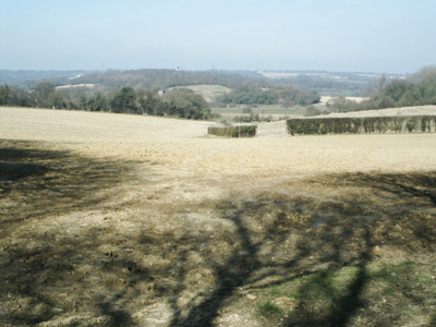
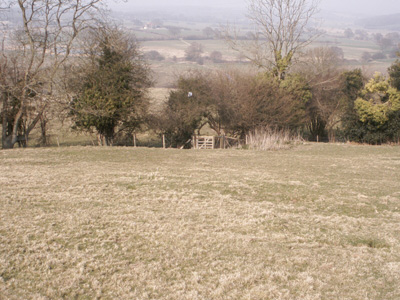
Looking inland from near Pevensey
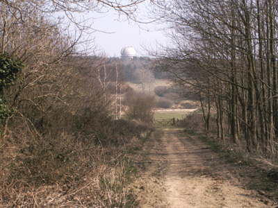
Observatory at Herstmonceux
Near Boreham Street. If you ever in the vicinity and need a good stuffing (ooh err!) then Scolfes Will hook you up - ass kickin' cream teas Battle to RyeApril 2003 - 15 MilesAn American lady was rather stumped on directions for this section and we bumped into each other in Great Wood. For some reason this section was a sod to follow until the A21, where we wandered around the edge of Sedlescombe Golf Course for a while trying to find the onward path (through a gap in the hedge) and made good progress through to Westfield and on to Doleham, where we parted ways (she was walking on to Hastings) and I carried on to Rye
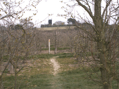
Windmill and orchards near Icklesham
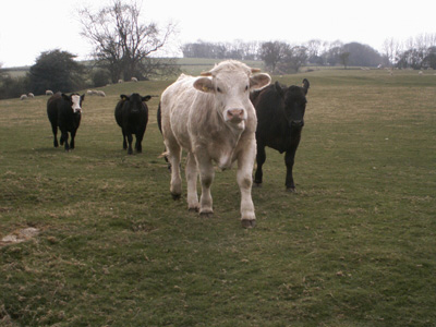
Cows get a bit too friendly near Winchelsea
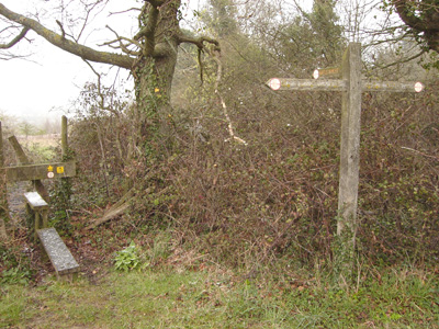
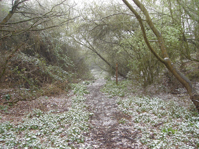
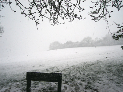
Winchelsea - site of former Windmill Pevensey to Combe Hill (For Jevington)Sunday 6 April 2008 - 5.5 MilesOccasionally my walks don't go to plan, with bad waymarking, fatigue etc, but almost invariably I eventually reach the destination chosen for the day. This was one occasion when it didn't quite happen. I petulantly decided that I would go ahead with this walk, even though a forecast for snow had been given. Not long after arriving at Pevensey the white stuff started to fall, initially an interesting novelty, but soon getting heavier, and by the time I started onto the Downs at Willingdon it was almost a white out and it was imposible to see the track or any waymarkers. I started to panic, and just wanted to get back down into Eastbourne. It eventually became clear that I made it onto Combe Hill and bumped into Wealdway markers that took me back off again, with rather soggy and dispirited end at Eastbourne Station this has not been a high point! I was within a mile of Jevington and don't know if I can be bothered to close the gap!
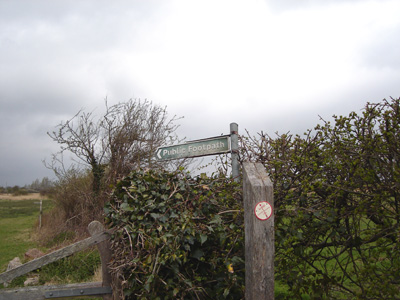
1006 Downs Link Waymarker at Pevensey - Sky already looking nasty ] Battle 16 Miles and South Downs Way 5 Miles
Atmospheric former railway chord at Dittons
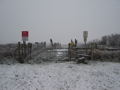
Crossing railway near Polegate - visibility reducing
Oh - they have started sledging! I got a bit further on then game over |


