|
[The Sussex Diamond Way]
[The Wey-South Path] [The Essex Way] [Links] [Stour & Orwell] [Thanet Coast Path] [Grand Union] [Wealdway] [HWLT] [SDW] [Elham] [Regents Canal] [1066] [SSW] [PW NCP] [Cotswold] [SVW] [DVP] [SBP] [Thames] [SWCP] [Gipping Valley River Path] [Speyside] [Three Castles Path] [GGW] [Eden] [NDW] [Capital Ring / Parkland Walk] [MVW] [The Loop] [Ridgeway] [TWC] [RMCP] [SMW] [Fife Coastal Path] [OVW] [Vanguard] [Lea Valley Walk] [Resources] [Greensand Way] [The Monarch's Way] [E2] [Sandlings Walk] [Solent Way] [Weavers Way] [Fynn Valley Way] [Scafell Pike] [Snowdon] [Ben Nevis] [Pentland Hills] [Hangers Way] [Staunton Way] [Downs Link] [Airdrie Bathgate Cycle Path] [Thames Down] [Marriot's Way] [Bournemouth Coast Path] [Forest Way] [Icknield Way] [Suffolk Coast Path] [Angles Way] [River Parrett Trail] [New River Path] [Stour Valley Path] [St Edmund Way] [Centenary Walk] [John Muir Way] [Paston Way] [East Mendip Way] [Orford Ness] [Lindisfarne] [Southern Upland Way] [Berwickshire Coastal] [Beverley Brook Walk] [Chess Valley Walk] [West Mendip Way] [Strawberry Line] [Colne Valley Trail] [Hillingdon Trail] [Huddersfield Canal Towpath Walk] [Trans Pennine Trail] [Pennine Way] [North Berwick Law] [Green Chain Walk] [Ridgeway London] [Waterlink Way] [Greenwich Meridian Trail] [Shuttle Riverway] [Kelvin Walkway] [Clyde Walkway] [Union Canal Walk]
|
Sussex Border Path
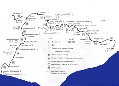
East Sussex and Mid Sussex Link. This is the only image I could find for the walk and is from the official guide book
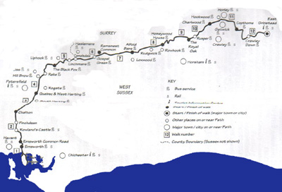
West Sussex. This is the only image I could find for the walk and is from the official guide bookAnother quintessential walk - delightful so visually, but a complete bastard for bad and missing waymarking, my pet hate as I don't like walking round a muddy field for half hour trying to find which of four different paths I should be taking. East Sussex County Council put up some half hearted way marking some time ago and these are mostly faded, hard to find or disappearing into the undergrowth. Like with most routes I have a companion guide which is very well written and I have really enjoyed this route in retrospect, but for a regional route it is woefully supported. I would still recommend you take the challenge as it is so varied and beautiful. I have completed the East Sussex Section from East Grinstead to Rye and the mid Sussex link to Mile Oak , and from Emsworth to Rowland Castle via Thorney Island - where you have to ID yourself to a disembodied military voice! Please take OS Explorer and The guide book to stand any chance of getting to your destination!
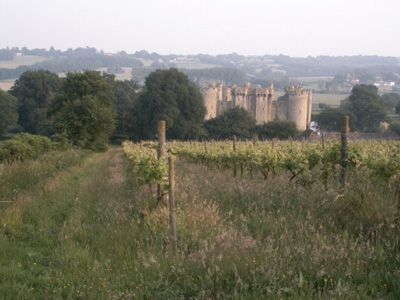
Sections walked: Wadhurst to Bodiam Castle, Bodiam to Beckley, Beckley to Rye, East Grinstead to Sharpthorne, Groombridge to Wadhurst, Emsworth/Thorney Island Circular to Rowlands Castle, Sharpthorne to Blackbrook Wood nr Plumpton, Blackbrook Wood nr Plumpton to Fishersgate, Rowlands Castle to Liphook, Liphook to Rudgwick, Rudgwick to Gatwick, Gatwick to East Grinstead East SussexWadhurst to BodiamJune 2003 - 17 MilesA waymarking basketcase, but gorgeous scenery. Very relieved when finally rolled into Bodiam and had my carcass scraped up into the mota
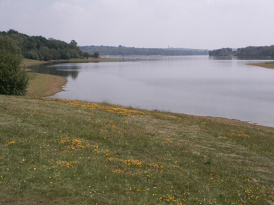
Bewl Water
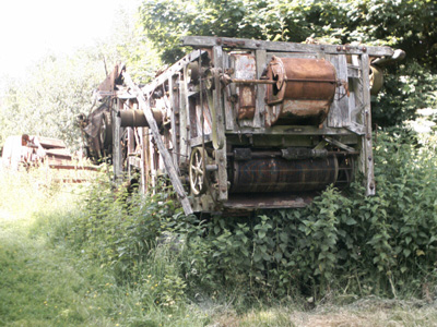
Old farm machinery abandoned near Bodiam
Bodiam Castle descent. This section was pot luck on ever finishing - the waymarking being virtually non existant. Bodiam to Beckley2003 - 5 MilesThis section went for a burton as I choose to wear shorts on this section (normally leggings) had a chronic allergic reaction to some crop or chemical and had to be rescued from Beckley as I kept fainting!
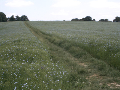
Picturesque - can't remember where - maybe near Northiam Beckley to Rye2003 - 9 Miles
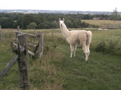
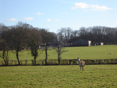
In contrast, the walk to Rye was easy to follow and this sweet Llama was the highlight.
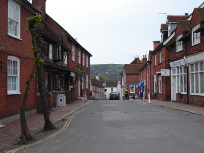
Rye East Grinstead to GroombridgeSaturday 4 February 2006 - 14 Miles
Near East Grinstead
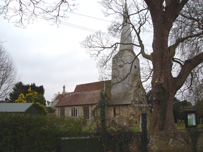
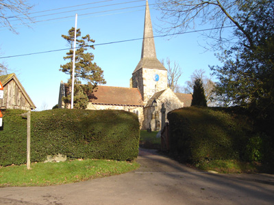
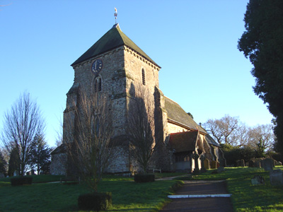
Cowden church
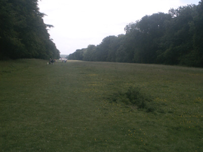
Beeching you ..................now we can cycle and walk where trains once ran Groombridge to Wadhurst2003 - 9.75 Miles
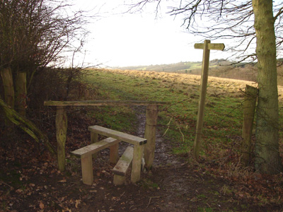
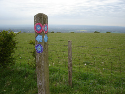
An example of the wonderful waymarking
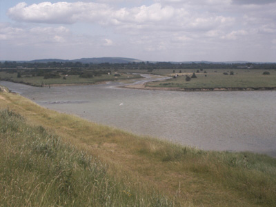
Somewhere near Groombridge West SussexEmsworth to Rowland's Castle (via Thorney Island)Saturday 4 June 2005 - 14 MilesID04062005#? Thanks to my New Deal Railcard this way a luvvly Jubbly price!
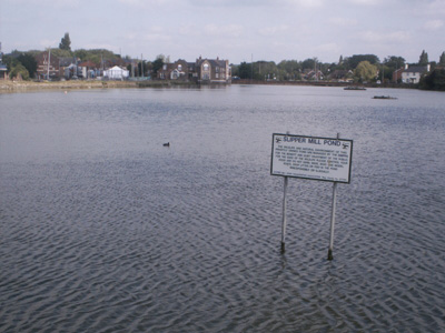
Slipper Mill pond Emsworth
Near Thorney Island
Just off Thorney Island
The Avenue near Rowlands Castle Mid Sussex LinkSharpthorne to Plumpton (Blackbrook Wood)Saturday 21 January 2006 - 13.5 MilesID21012006#?
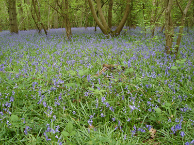
Near Sharpthorne mid Sussex link
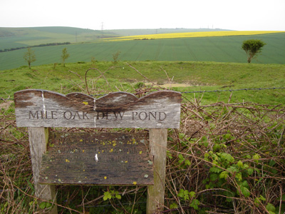
Scaynes Hill ? A long wait for a train at Plumpton in the cold as it has a very erratic service although lots of trains keep bombing through non stop Plumpton (Blackbrook Wood) to Fishergate (Mile Oak)Tuesday 6 May 2006 - 14 MilesID06052006#? The official end is at Mile Oak, but I carried on a couple of miles to Fishergate station. Pouring down so soaked through and crap waymarking - but hey!
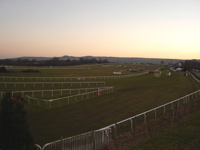
Not actually on the way but Plumpton Racecourse was by the station - and a trip back home
Blackbrook wood - rejoining the way
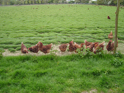
If you gonna do it...do it right - now that's free range.
Ditchling, heading for the South Downs
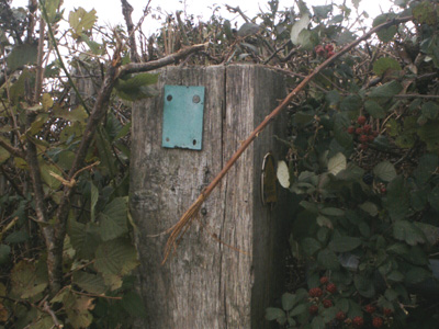
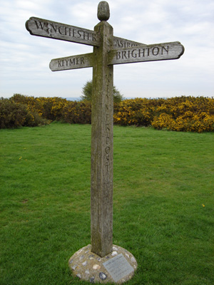
That pesky Keymer post again!
SBP - Where to Guv? No waymarking
Giving attitude - blocking my path!
Descending towards Mile Oak
As it sez - stops critters feelin thirsty
Rowlands Castle to LiphookMonday 14th May 2007 - 18 MilesID14052007#? A great walk - my first back in England after the Speyside Way. A week of crap rain sodden weather made me expect the worst for this one, but it was actually dry for the vast majority of the walk. As a friend was going down to Somerset, I took the opportunity to be dumped off at Rowlands Castle to continue where I left off nearly two years ago.
A very moody sky near Rowlands Castle
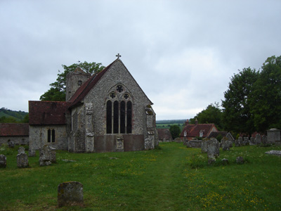
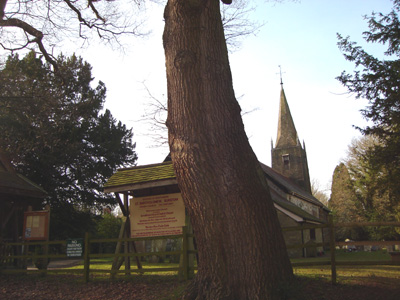
Chalton Church
Crossing the South Downs Way Near South Harting - ominous clouds
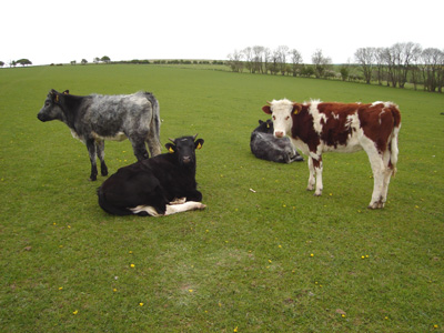
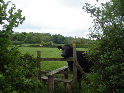
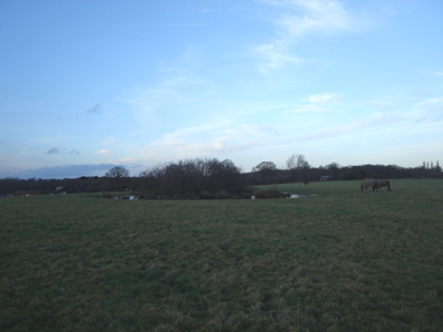
This cow had to see what I was up to...just a field after I accidently disturbed a couple of deer having a chill out session!
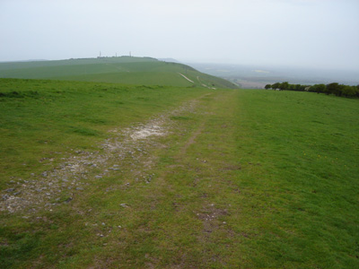
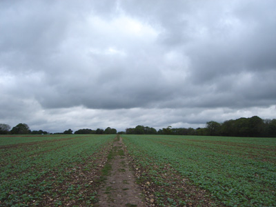
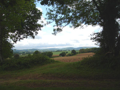
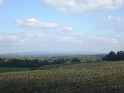
Looking back to the South Downs Liphook to Rudgwick18 Miles - Friday 5 Oct 2007ID05102007#? The same friend dropped me off again - at Havant, got train to Liphook then walked. A beautiful Autumn day, sunny and quite warm. Waymarking certainly better than East Sussex, although went wrong a couple of times and there were unwaymarked sections, so a bit frustrating in places. The recent foot and mouth scare meant a couple of paths were shut (surrey) requiring small diversions. Frustrating that I could no longer catch a train home from Rudgwick and had to get a bus instead - Beeching's wonderful legacy...
The path flitted between West Sussex and Surrey
A view across to the North Downs
The West Sussex waymarkers are generally finger posts or round blue 'martlett' discs
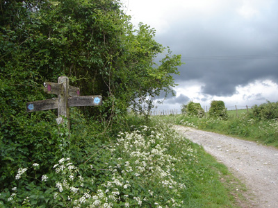
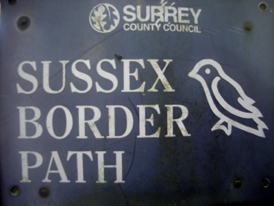
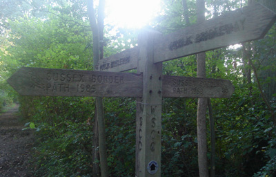
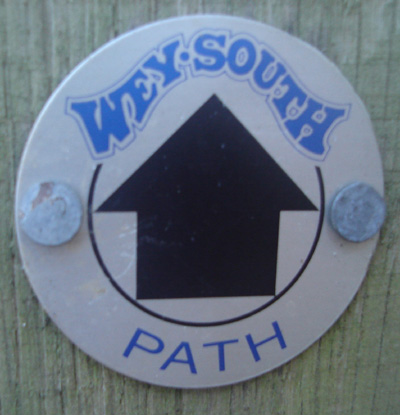
Just to stick with waymarking - the Wey South Path is crossed near Alford Bars
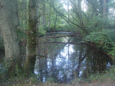
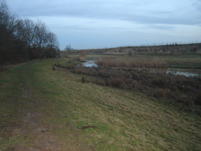
This part of the canal is still disused and isolated like a pond
Tree and Cellphone mast near Rudgwick
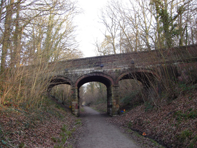
The Downs Link goes up and around this tunnel at Rudgwick Rudgwick to GatwickSaturday 12 Jan 2008 - 17 MilesWalk ID12012008#2 Great walk - but very muddy, looked like swamp thang by the time I got to Gatwick. It had been raining on and off for a few days but today was nice and sunny so I had to go for it. Quite well waymarked in places, although there are areas where Surrey and West Sussex County Council don't quite know who's responsibility the waymarking is... Lots of critters again, including 2 deer a Llama and a Kitten and Chicken playing at The Black Fox pub! The river Mole had burst its banks for a short section around Gatwick, forcing a higher level walk, but apart from the mud trying to pull my boots off and the ugliness and confusion of Gatwick Airport it was great. The only way I could see to get from the North terminal to the South, where the railway station is, was to use the overhead railway (for free!) covered in mud, surrounded by bemused passengers...also it was a replacement bus from Three bridges to Lewes, but an overwhelmingly good day
Rudgwick Church
Llama
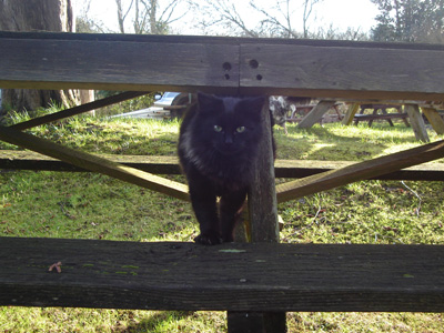
Kitten at The Black Fox
Emerging from the gloom - Near Rusper
Pond near Ivyhouse Farm - here you are almost under the flight path - lots of low flying planes
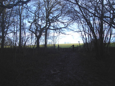
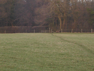
Deer (far side of field) at Charlwood
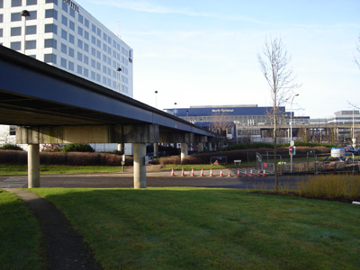
The River Mole - diverted round the edge of Gatwick. This was a complicated, disorientating section, and getting dark...but did get to the airport terminal eventually Gatwick to East GrinsteadSunday 27 Jan 2008 - 10 MilesWalk ID27012008#4 The final stage of the SBP - after several years, and many ups and downs (mentally and physically!) it's job done. Gatwick was a bore, but finally navigated my way from the North terminal (had a go on the free EL railway again!) out to the relative peace of the M23! Not a very pleasant walk until way past Copthorne but it was a lovely sunny day and I had a pleasant picnic on the Worth(less) way - sorry about the cynicism but I have an ingrained hatred of disused railways - they are very dull to walk and should be used for their original purpose - Crawley Down has made a pigs ear of the trackbed and East Grinstead is always a very sad place to arrive at with its decimated, once extensive rail system. What really grated on me, was that there was a replacement rail bus to Three Bridges, the exact route that the Worth(less) way has taken over!
Gatwick North Terminal and EL railway
Burstow Church - still lots of planes overhead
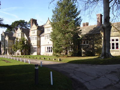
Rogate Manor
Worth Way, I'm Lovin' It!
They didn't go to all this engineering effort for a manky cycleway
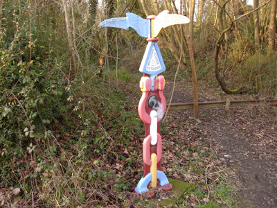
Strange sustrans sculpture - I was just relieved to be off the Worth Way and to have finished the SBP |