[The Wey-South Path]
[The Essex Way]
[Links]
[Stour & Orwell]
[Thanet Coast Path]
[Grand Union]
[Wealdway]
[HWLT]
[SDW]
[Elham]
[Regents Canal]
[1066]
[SSW]
[PW NCP]
[Cotswold]
[SVW]
[DVP]
[SBP]
[Thames]
[SWCP]
[Gipping Valley River Path]
[Speyside]
[Three Castles Path]
[GGW]
[Eden]
[NDW]
[Capital Ring / Parkland Walk]
[MVW]
[The Loop]
[Ridgeway]
[TWC]
[RMCP]
[SMW]
[Fife Coastal Path]
[OVW]
[Vanguard]
[Lea Valley Walk]
[Resources]
[Greensand Way]
[The Monarch's Way]
[E2]
[Sandlings Walk]
[Solent Way]
[Weavers Way]
[Fynn Valley Way]
[Scafell Pike]
[Snowdon]
[Ben Nevis]
[Pentland Hills]
[Hangers Way]
[Staunton Way]
[Downs Link]
[Airdrie Bathgate Cycle Path]
[Thames Down]
[Marriot's Way]
[Bournemouth Coast Path]
[Forest Way]
[Icknield Way]
[Suffolk Coast Path]
[Angles Way]
[River Parrett Trail]
[New River Path]
[Stour Valley Path]
[St Edmund Way]
[Centenary Walk]
[John Muir Way]
[Paston Way]
[East Mendip Way]
[Orford Ness]
[Lindisfarne]
[Southern Upland Way]
[Berwickshire Coastal]
[Beverley Brook Walk]
[Chess Valley Walk]
[West Mendip Way]
[Strawberry Line]
[Colne Valley Trail]
[Hillingdon Trail]
[Huddersfield Canal Towpath Walk]
[Trans Pennine Trail]
[Pennine Way]
[North Berwick Law]
[Green Chain Walk]
[Ridgeway London]
[Waterlink Way]
[Greenwich Meridian Trail]
[Shuttle Riverway]
[Kelvin Walkway]
[Clyde Walkway]
[Union Canal Walk]
[New Lipchis Way]
[Brent River Park Walk]
[Dog Rose Ramble]
[Pymme's Brook Trail]
[Dollis Valley Greenwalk]
[Wandle Trail]
[Celandine Route]
[Paths to Prosperity]
[Snaefell]
Fen Rivers Way |


The Fen Rivers Way, a long distance path running for nearly 80km (50 miles) between the historic settlements of Cambridge and King's Lynn, traces the course of rivers that drain slowly across the Fens into the Wash. The way forms part of the E2 between Cambridge and Ely
Waterbeach to Cambridge
Friday 3 August 2012 - 7 Miles
ID03082012#41b
The second of today's walks after the St Edmund Way. I had wanted to carry on the previous walk but the appalling train service prevented me, so I got to Waterbeach and walked through to Cambridge. I walked along to 'The Bridge' from the Station crossing the RIver Cam, then started to follow the waymarkers, taking me west to Clayhithe then south to Eye Hall Farm, hooking into the Harcamlow way at Horningsea. South of the village you then you head west back to the Cam and follow down under the A14, leaving the river again at Fen Ditton, then rejoining the river bank to pass into Cambridge where I went to for some dinner before heading to the station, some distance from the centre. Unfortunately my train was cancelled, so I arrived in Ipswich on the next one which meant I had to be rescued at 2300 but shit happens! Another great walk anyway and my firstest ever in Cambridgeshire!
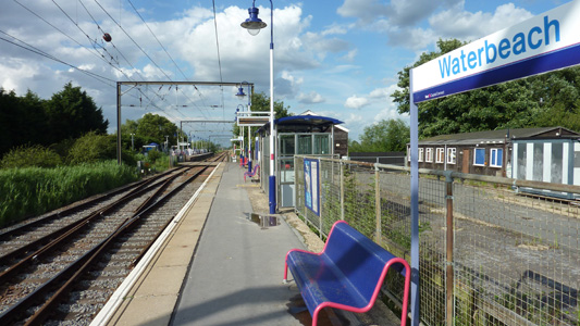
Waterbeach station on the Kings Cross to Kings Lynn line
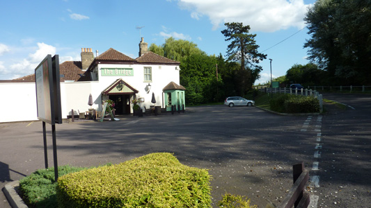
The Bridge Public House by the Cam(bridge)
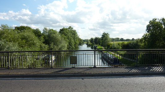
Crossing the Cam
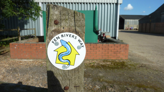
I like the waymark, presumably an Eel
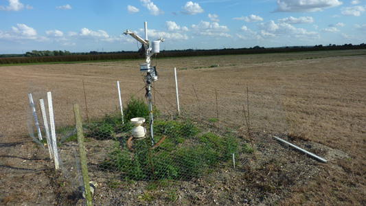
Weather Station at Clayhithe
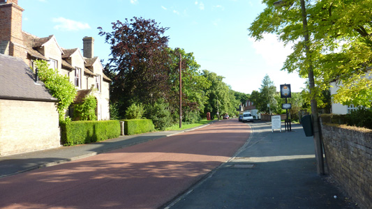
Horningsea
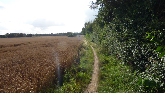
Heading back to the Cam
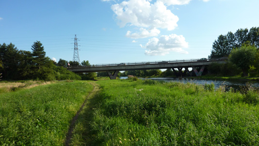
A14 bridge

walking by the Cam
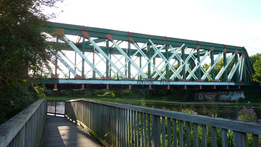
Chavved up railway bridge
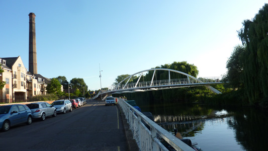
Outskirts of Cambridge
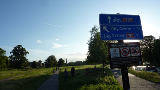
Peeling off from the Cam to reach the city centre
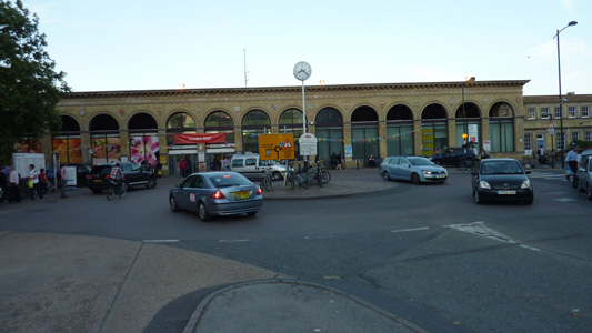
Cambridge Station and a load of cancelled train shenanigans
