|
[The Sussex Diamond Way]
[The Wey-South Path] [The Essex Way] [Links] [Stour & Orwell] [Thanet Coast Path] [Grand Union] [Wealdway] [HWLT] [SDW] [Elham] [Regents Canal] [1066] [SSW] [PW NCP] [Cotswold] [SVW] [DVP] [SBP] [Thames] [SWCP] [Gipping Valley River Path] [Speyside] [Three Castles Path] [GGW] [Eden] [NDW] [Parkland] [MVW] [The Loop] [Ridgeway] [TWC] [RMCP] [SMW] [Fife Coastal Path] [OVW] [Vanguard] [Lea Valley Walk] [Resources] [Greensand Way] [The Monarch's Way] [E2] [Sandlings Walk] [Solent Way] [Weavers Way] [Fynn Valley Way]
|
Stour Valley Walk
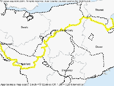
A 51.5 Mile / 82.4 Km route from the source of the river stour at Lenham Kent, to the sea at Pegwell Bay. Walked as: Lenham to Ashford, Ashford to Canterbury, Canterbury to Sandwich, Sandwich to Pegwell Bay. I would not say this is the most scenic of the many Kent routes, but is certainly pleasant beyond Ashford. I only have pictures from Canterbury on due to the aforementioned piccy massacre.
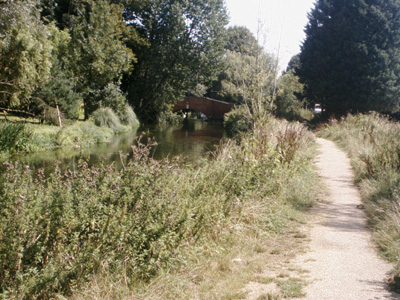
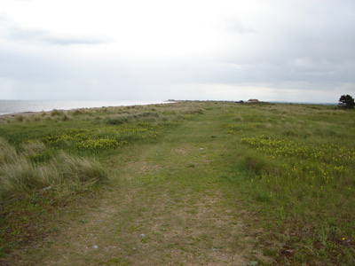
Somewhere past Fordwich
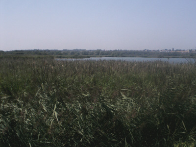
Across the Stour from Upstreet
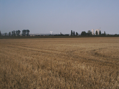
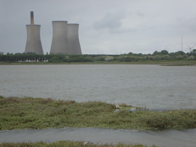
Richborough power station in distance
On the beach near Shell Ness
Shell Ness - time to turn round, or start swimming! |