 |
|
|
|
|
|
[The Sussex Diamond Way]
[The Wey-South Path] [The Essex Way] [Links] [Stour & Orwell] [Thanet Coast Path] [Grand Union] [Wealdway] [HWLT] [SDW] [Elham] [Regents Canal] [1066] [SSW] [PW NCP] [Cotswold] [SVW] [DVP] [SBP] [Thames] [SWCP] [Gipping Valley River Path] [Speyside] [Three Castles Path] [GGW] [Eden] [NDW] [Parkland] [MVW] [The Loop] [Ridgeway] [TWC] [RMCP] [SMW] [Fife Coastal Path] [OVW] [Vanguard] [Lea Valley Walk] [Resources] [Greensand Way] [The Monarch's Way] [E2] [Sandlings Walk] [Solent Way] [Weavers Way] [Fynn Valley Way]
|
Royal Military Canal Path
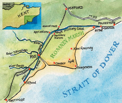
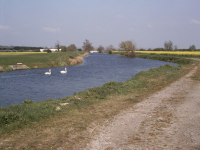
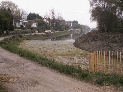
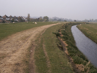
RMCP Route MapThe Royal Military Canal Path runs for 28 miles along the entire length of the Royal Military Canal from Seabrook, Kent to Cliff End in East Sussex. Walked as: Rye to Hamstreet, Cliff End to Rye, Hamstreet to Hythe. One of my earlier walks, probably done in 2004. A wonderful walk with much stunning countryside through the marshland beyond Rye. The path can be a bit overgrown though and a chore to wade through. There is lots of flora and fauna - Horse Chestnut and the sound of marsh frogs. The walk is coincident with the Saxon Shore Way between Cliff End and the Kent border. It was built as a strategic defense in the early 19th century as France was seen as a great threat at that time. When Napoleon waas defeated the canal lost its strategic significance but is now used for water control in the area and a great wildlife habitat.You also pass near Winchelsea, Appledore, Hamstreet and Hythe. I finished the way walking into Folkestone.
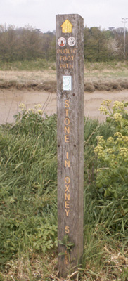
Blimey - Saxon Shore Way, RMCP and Sussex Border Path...Choices!
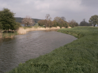
Every 500 yards there is a turn, for defense reasons.
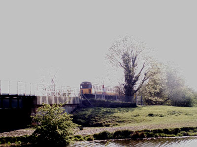
Ahh...the ubiquitous 'Thumper' - this arthritic elderly diesel unit plodded up and down between Ashford and Hastings for 40 or so years but is now no more...the sound sends shivers down your spine (right this is getting scary!) Hamstreet.
Back to some semblance of normality, 'big white duck fings' near Hamstreet
the start of the RMCP at Cliff End - A bit shabby actually.
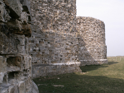
Camber castle - needs a bit of repointing!
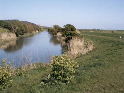
Nearly at Rye
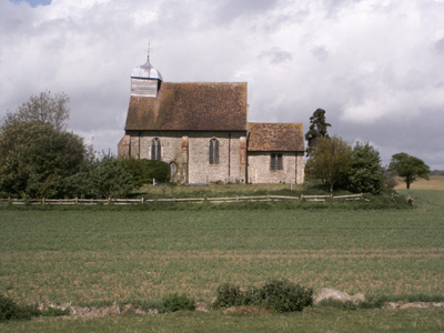
Church near Iden
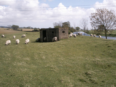
New use as a sheep shelter - I have always thought that farmers were a bit unreasonable not providing sheep with a gaff!
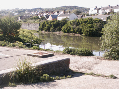
Just past Hythe
wot a swizz - the end is as ugly as the start!
|

