|
[The Sussex Diamond Way]
[The Wey-South Path] [The Essex Way] [Links] [Stour & Orwell] [Thanet Coast Path] [Grand Union] [Wealdway] [HWLT] [SDW] [Elham] [Regents Canal] [1066] [SSW] [PW NCP] [Cotswold] [SVW] [DVP] [SBP] [Thames] [SWCP] [Gipping Valley River Path] [Speyside] [Three Castles Path] [GGW] [Eden] [NDW] [Capital Ring / Parkland Walk] [MVW] [The Loop] [Ridgeway] [TWC] [RMCP] [SMW] [Fife Coastal Path] [OVW] [Vanguard] [Lea Valley Walk] [Resources] [Greensand Way] [The Monarch's Way] [E2] [Sandlings Walk] [Solent Way] [Weavers Way] [Fynn Valley Way] [Scafell Pike] [Snowdon] [Ben Nevis] [Pentland Hills] [Hangers Way] [Staunton Way] [Downs Link] [Airdrie Bathgate Cycle Path] [Thames Down] [Marriot's Way] [Bournemouth Coast Path] [Forest Way] [Icknield Way] [Suffolk Coast Path] [Angles Way] [River Parrett Trail] [New River Path] [Stour Valley Path] [St Edmund Way] [Centenary Walk] [John Muir Way] [Paston Way] [East Mendip Way] [Orford Ness] [Lindisfarne] [Southern Upland Way] [Berwickshire Coastal] [Beverley Brook Walk] [Chess Valley Walk] [West Mendip Way] [Strawberry Line] [Colne Valley Trail] [Hillingdon Trail] [Huddersfield Canal Towpath Walk] [Trans Pennine Trail] [Pennine Way] [North Berwick Law] [Green Chain Walk] [Ridgeway London] [Waterlink Way] [Greenwich Meridian Trail] [Shuttle Riverway] [Kelvin Walkway] [Clyde Walkway] [Union Canal Walk] [New Lipchis Way] [Brent River Park Walk] [Dog Rose Ramble] [Pymme's Brook Trail] [Dollis Valley Greenwalk] [Wandle Trail] [Celandine Route] [Paths to Prosperity] [Snaefell]
|
Southwest Coast Path National Trail
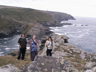
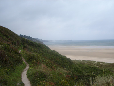
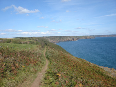
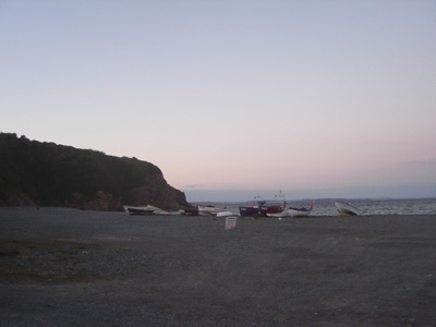
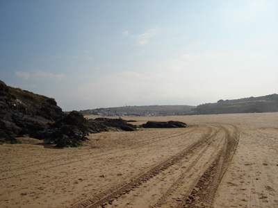
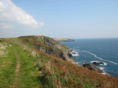
A very long walk to undertake, and a national trail that will likely take a decade to complete, as it is so far from home and so strenuous. I had never walked anything like this before - many steep ascents and descents, rocky and treacherous in places - but so spectacular. Running from Minehead, Somerset to Poole, Dorset it is 630 miles. Currently walked 182.9 Miles. Sections walked: (2005)Pendeen Watch to Porthcurno, St Ives to Pendeen Watch, (2006)Porthcurno to Marazion, Hayle to St Ives, Gwithian to Hayle, Marazion to Praa Sands, (2007) Praa Sands to Lizard Point, Lizard Point to Porthallow, (2008) Porthallow to Falmouth, Portreath to Gwithian, Newquay to Trevaunance Cove, Trevaunance Cove to Portreath, Falmouth to Portloe, Padstow to Newquay, (2012) Swanage to South Haven Point Pendeen to PorthcurnoAugust 2005 - 15.5 Miles My friends see me off on my first lump of SWCP at Pendeen
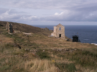
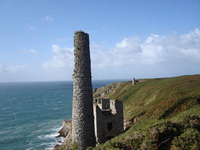
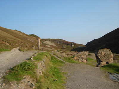
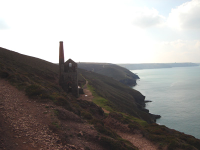
Some of Cornwall's famous tin mine heritage
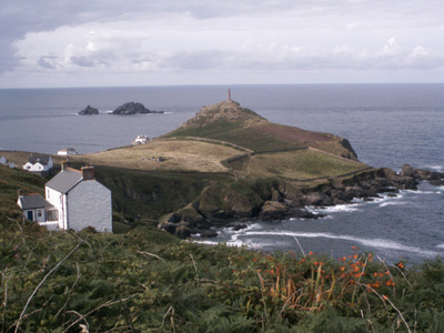
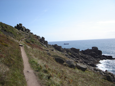
Cape Cornwall
Sennen Cove
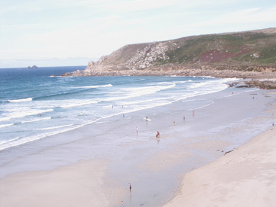
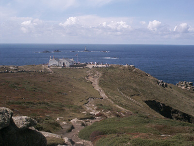
Lands End
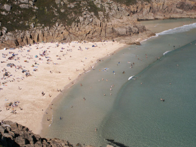
Porthcurno. That evening we went to the Minack Theatre and saw Shakeys Anthony And Cleopatra. Wonderful atmosphere - a magical experience (the walking wasn't arf bad either) St Ives to PendeenAugust 2005 - 13.7 MilesThis section was so hard - scorching hot, very uneven underfoot and long - but spectacular as usual for the SWCP
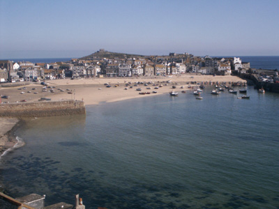
St Ives
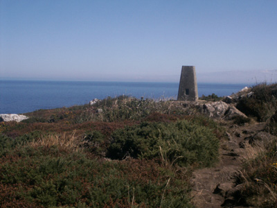
Trig point near Carn Naun Point
Finally - Pendeen in Site Porthcurno to MarazionTuesday 19 September 2006 - 14.6 Miles
Porthcurno again - a year later
A few miles on
Somewhere near Mousehole
Mousehole - a quintessential Cornish fishing village
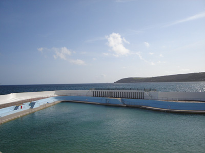
Wherrytown Lido
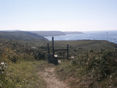
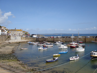
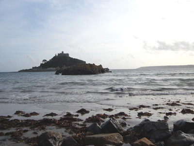
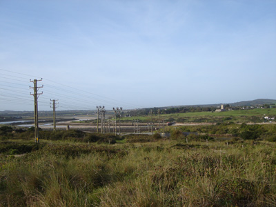
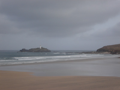
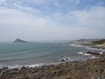
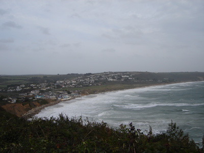
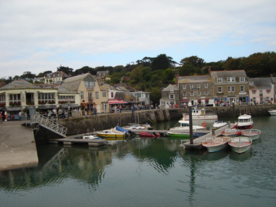
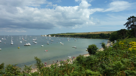
Marazion and St Michaels Mount. Last year it was low tide and three of us walked the causeway. Hayle to St IvesWednesday 20th September 2006 - 6.1 Miles
This was the view from our chalet at Riviere Towans, Hayle, looking across towards Lelant on the St Ives side of the river Hayle. So started walk from doorstep - amazingly covenient that SWC passes right through chalet park!
Looking across from Lelant. It's a long walk round here, but too treachorous to cross directly (and I don't like wet boots)
Towards Carbis Bay
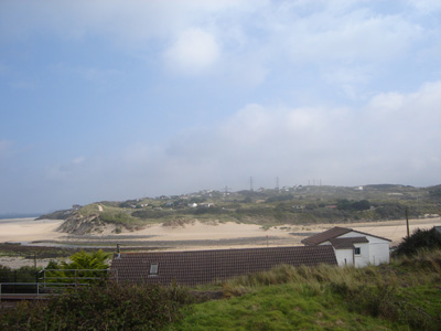
St Ives Gwithian to HayleSeptember 2006 - 4.1 MilesA very short stroll along the cliffs and beach back to chalet park as only had morning before travelling elsewhere later. Looking to Godrevy Point
Looking towards Hayle River and Carbis Bay Marazion to Praa Sands21 September 2006 - 6.3 MilesA continunation of my days walking that had already seen completion of St Michael's Way. The intention was to walk on to Porthleven, bit it was extremely windy with storms around the coast and it got a bit to much. At Praa sands cafe waiting for the bus, the sea spray was coming in the door and windows! Also the bus was half hour late and I then missed my connection at Penzance back to Hayle and had to be picked up - oh well, shit happens!
Looking back to Marzion from near Perranuthnoe
Cudden Point
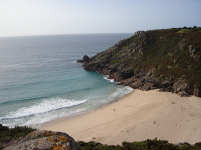
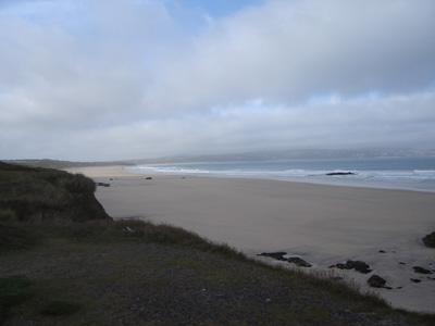
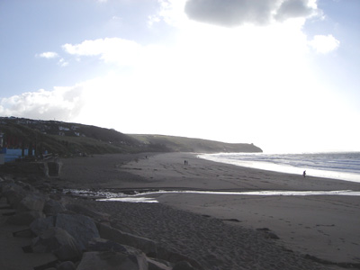
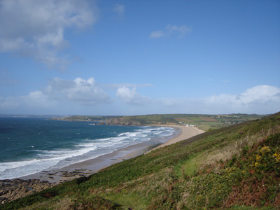
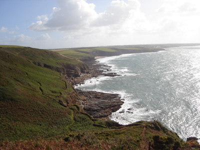
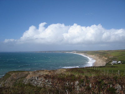
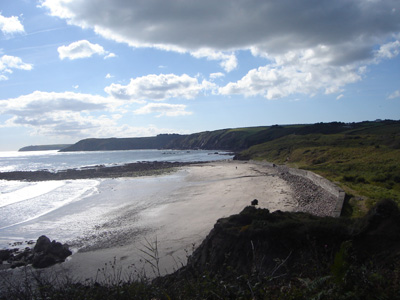
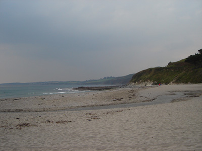
Praa Sands Praa Sands to Lizard PointMonday 24 September 2007 - 16 Miles / 25 KmA Very blustery day - hat got blown off repeatedly! hard work, particularly on the rollercoaster between Praa and Porthleven, but as usual, stunning scenery and grim determination prevailed!
Praa Sands - again!
Deceptively calm looking - Beyond Praa Sands
Ubiquitous Engine Houses...
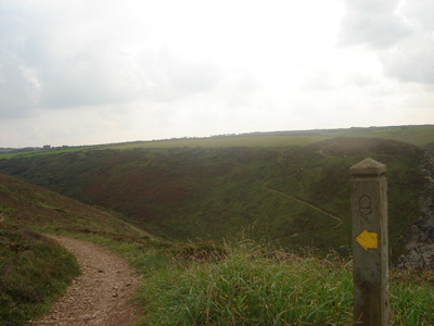
The Path To Come
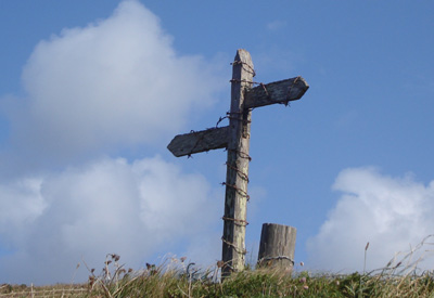
Interesting symbolism - just a method to keep the post together, or a strange method for the landowner to display a dislike of walkers?
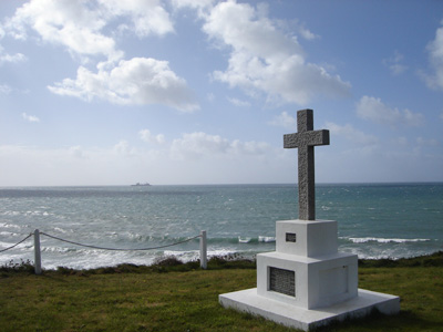
A tribute to lost souls and a Navy ship on the horizon...
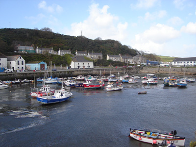
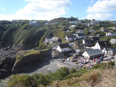
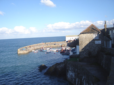
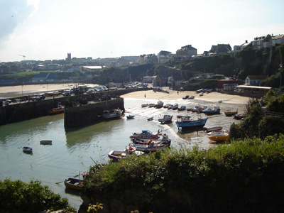
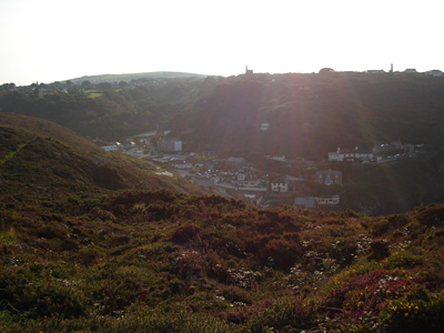
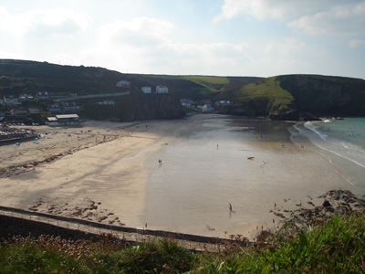
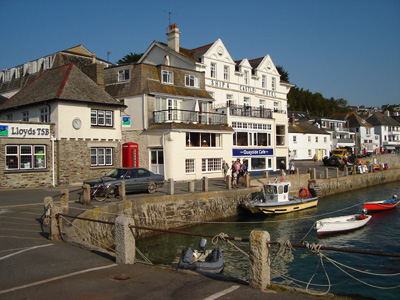
Porthleven - one of many delightful villages with a harbour and fishing boats
Near Porthleven Sands
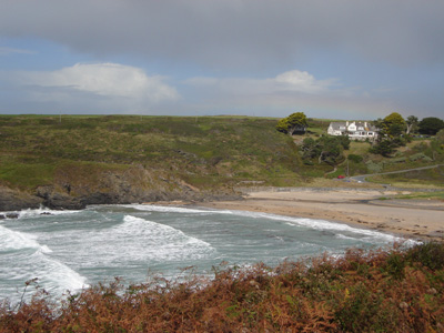
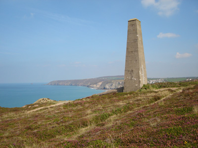
Poldhu Cove
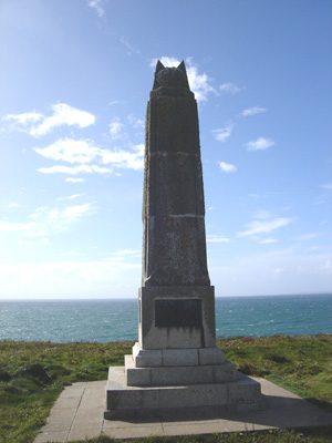
Marconi Monument
Polurrian Cove - I thought this was Mullion, and mistakenly had my skoff here - Doh!
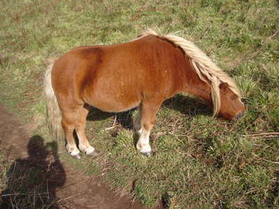
One of the Shetland Ponies helping to keep the vegetation under control - sweet!
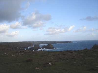
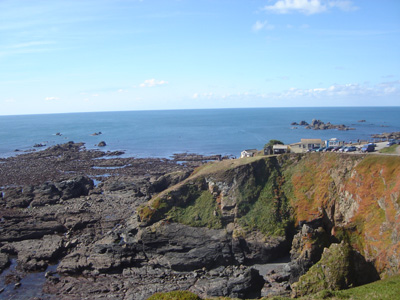
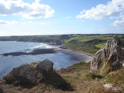
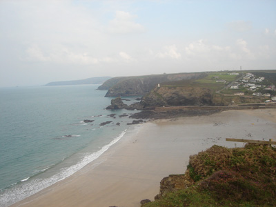
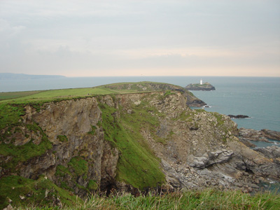
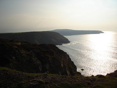
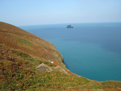
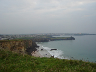
Looking ahead to the Lizard (Southern most point in England)
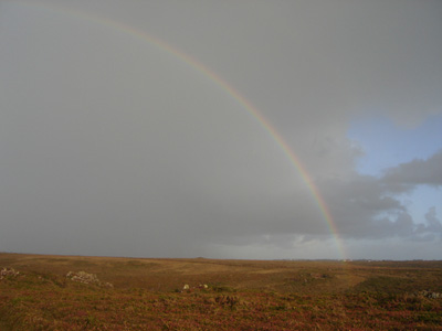
Rainbow - chucked it down for ten minutes then quit!
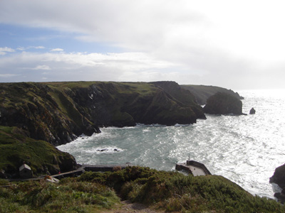
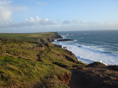
Nearing the Lizard
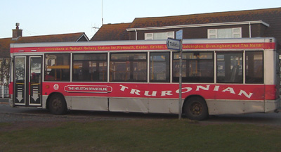
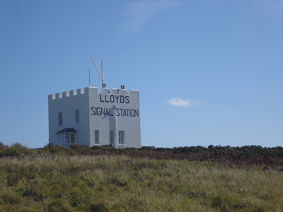
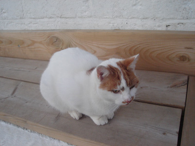
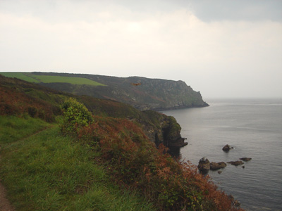
The bus was very welcome - but I resent the use of 'The Helston Branchline' name - as a railway with that name was chopped in the 1960's - although an enthusiast group are aiming to resurrect some of it http://www.helstonrailway.co.uk/ Lizard Point to PorthallowThursday 27th September 2007 - 15 Miles / 24 KmA great walk, but ended badly, with needing to be resued from Porthallow as there were no more buses when I arrived. The pub was also shut so I couldn't wait in the warm while my friends arrived from Hayle. Thanks go to the mystery puddy that sat by me for twenty minutes on the bench and Liz, Karen and 'Bruce' (The Sat Nav - using an Australian voice file!)
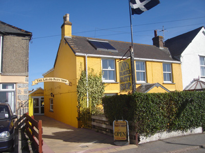
Ann's 'famous' pasty shop - admittedly good gear!
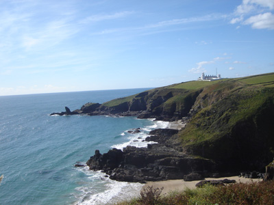
Looking back at the Lizard
Lizard - Lighthouse and some boathouse thing
Looking back to the most Southern Cafe
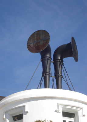
Lighthouse foghorns
Looking back to the lighthouse (had a great tour the next day)
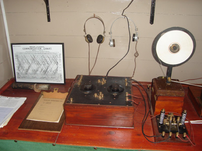
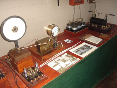
Marconi Wireless Station near the Lizard - Run by the National Trust - In 1901 receieved a signal from the Marconi Station on the Isle Of Wight. Full of old equipment, lots of valves and stuff.
More gear - paper tape on left, spark generator on right
Looks like a lego brick!
Hot Point
Cadgwith
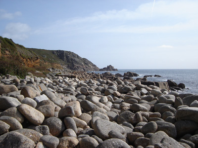
Kennack Sands
Beagles Point - A hard climb then lunch!
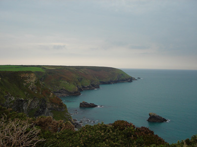
Coverack
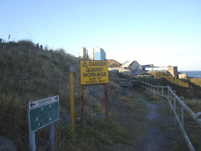
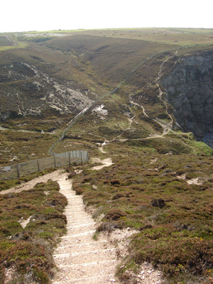
The path takes you through a working quarry
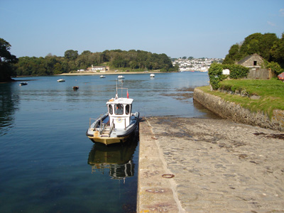
Porthallow - And no buses!
This sweet puddy kept me company at Porthallow Porthallow to Falmouth15 September 2008 - 17.9 MilesID15092008#37 Here we go again! Third year based in same chalet in Hayle, this time for a bonus two weeks, so made condsiderable progress - nearly 90 Miles in total. Rewarded with kick ass Cornish pasties, ice cream and cream teas. First walk was a sod - Bus never turned up in Helston (Thanks Truronian!) so had to sit for nearly three hours in Helston in the drizzle...Finally got to Porthallow then had to jog and route march along in the mud to get to the Helford Ferry - also had to do an annoying detour as the Gillan ford that would have been crossable had the bus arrived was now impassable, and after a very wet attempt to just do it anyway, had to concede defeat and ended up walking along the roads to get the ferry. Then had to go quick to get to Falmouth before dark.
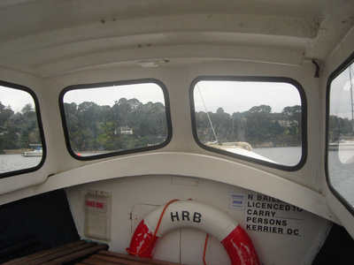
Helford Ferry
Approaching Maenporth
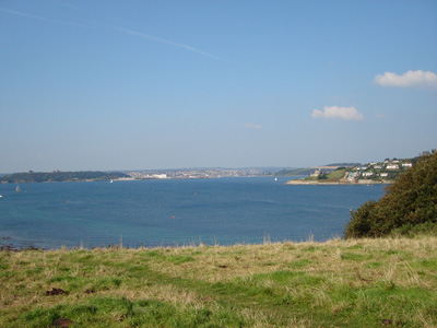
Near Falmouth
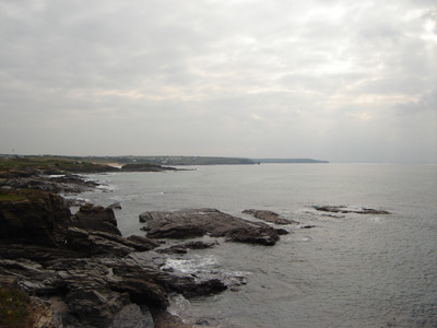
Portreath to Gwithian17 September 2008 - 7.5 MilesID17092008#38 A more agreeable walk - I was deposited in Portreath by friends, then made my way back to our chalet park - only needed to go as far as Gwithian, but ended up walking the Hayle section as well. Nice Skoff at Hells Mouth Cafe
Looking down over Porthreath
Zigzag hilly bit near Portreath - typical SWCP - although this section is quite easy
Near Hell's Mouth?
Godrevy Point and Lighthouse
Dunes and caravans - Mexico Towans
Towans beach - towards Hayle
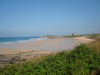
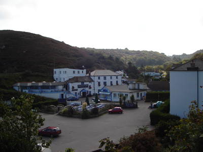
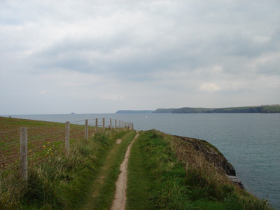
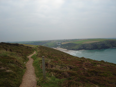
Newquay to Trevaunance Cove19 September 2008 - 16.5 MilesID19092008#39 Walked above Fistral beach, crossed the Gannel on low tide across the sand and had another archetypical SWCP experience. Gave up at St Agnes as did not think would make Portreath before dark (and knackered)
Newquay
Fistral beach - lots of surfing shenanigans
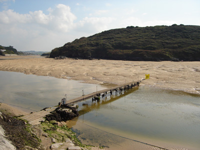
Crossing the Gannel at low tide
Holywell Beach
The long expanse of Perran Beach
Nearly at Perranporth
Still some way to St Agnes Head
Mining artefacts
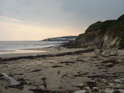
Trevaunance Cove Trevaunance Cove to Portreath21 September 2008 - 8.5 MilesID21092008#40 Short but quite a rollercoaster - rather knackered by Portreath
Trevaunance Cove
Mineshaft covers
Mine buildings near Porthtowan
Porthtowan
Looking back towards Porthtowan
Yet another rollercoaster
Portreath again
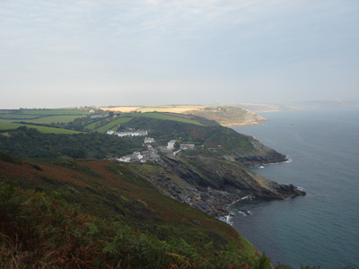
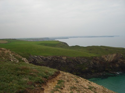
Falmouth to Portloe22 September 2008 - 13.5 MilesID22092008#41 Groovy picturesque walk. Had the company of my (very) occasional walking companion, who lives in Hayle. Two ferries at the start, from Falmouth to St Mawes then to Place, then a beautiful but hard walk in places with many steep ups and downs - Nare head and approach the hardest.
St Mawes - ferry interchange
The Place ferry
St Anthony Head looking towards Falmouth
Porthmellin Head
Looking back to Portscatho
Lunch at Pendower Beach
Oh dear - here comes Nare Head
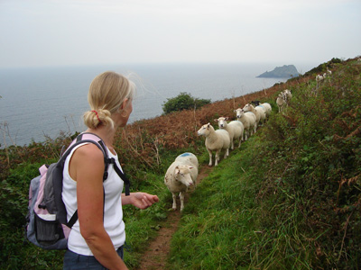
So sweet - these sheep panicked and half were in front of us pinned against a stile and half behind, not knowing what to do. We shooed them away from the stile and they went on their merry way
Approaching Portloe - a nice village with no facilities, except a bus route
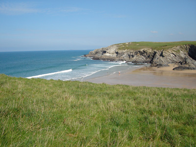
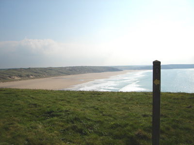
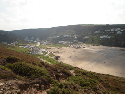
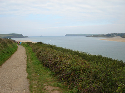
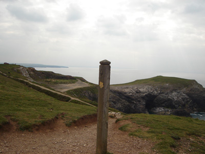
Padstow to Newquay25 September 2008 - 24 MilesID25092008#42 Much easier gradients in general, very pretty coastline. However, a few miles out of Newquay had a bit of a giddy spell - an apple gave me that final boost, then fishcake and chips in town and a nice train ride back to Hayle. Last SWCP walk this year.
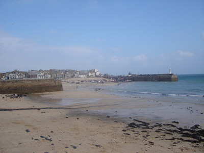
Padstow (Padstein) - pretty but pretentious!
Low cliffs leaving Padstow alongside the River Camel
Looking inland to the river Camel
Looking towards Harlyn Bay in far distance
Mother Ivey's Bay
Trevose Head
Towards Constantine Bay
Porthcothan
Trenance
Still miles to Newquay
Finally - nearly there
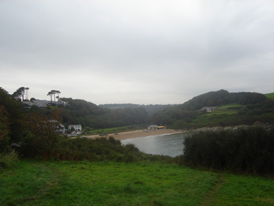
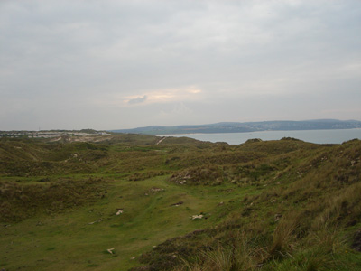
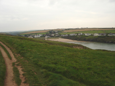
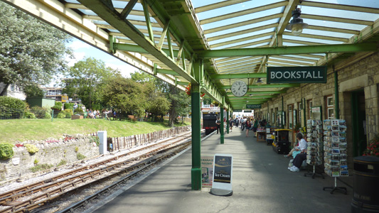
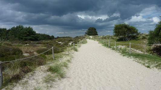
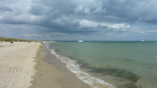
Swanage to South Haven PointSaturday 27 July 2012 - 7 MilesID28072012#38aBlimey - it's been four years since last dose of SWCP! I have wanted to bridge the gap between my E9 walking so far and the SWCP and this has been on the cards for a long time as I then continued on to Bournemouth via Sandbanks Ferry on the Bournemouth Coast Path I took the train to Wareham and caught the bus (route 40) down to Swanage (First ever visit to the Isle Of Purbeck) passing the beautiful Corfe Castle on the way, and soaking up the gorgeous undulating countryside, before bailing out at the bus station and having a shuftie round the Swanage Railway station before heading to the beach (via Greggs of course) and then heading along to Ballard Down, then passing by 'Old Harry' hanging a left to pass through Studland, then a miserable bit trying to walk through sand dunes along Studland Bay, before finding a better path walking along the wet sand on the foreshore, but accidently walking through a nudist beach, with all kinds of things swinging about like! Anyway, keeping myself to myself finally rounded the corner to Shell Bay and got on the Sandbanks Ferry to continue on to Bournemouth. This is the Official end of the South West Coast Path, but as I have not done the rest of it contigiously I have a lot more to do yet - I havn't even set one boot in Devon yet!
Swanage Station -No time to take a train unfortunately
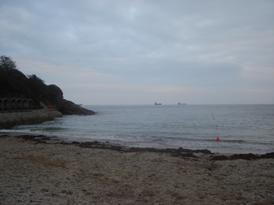
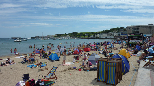
A busy Swanage Beach, on a very unusually nice day for 2012
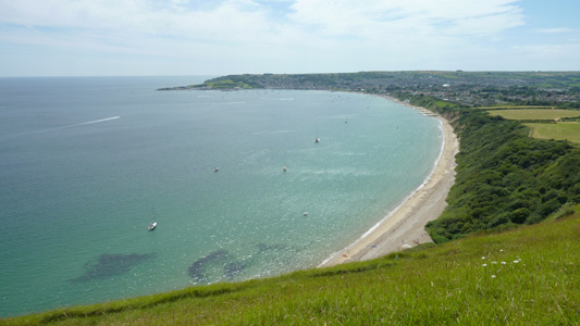
Looking back over Swanage Bay from Ballard Down, a bit of a climb in the heat
Handfast Point, Looking towards 'Old Harry' who used to have a 'wife' (They are rocks by the way)
Handfast Point from Studland
Memorial to Royal Dragoon Guards
Former Military Installation - Studland
Chalets at Studland
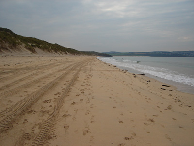
Pesky Sand Walkway - bleedin hard going, although not as bad as shingle
A bit easier by the foreshore - just ahead the nudist beach - I put my camera away for the horror
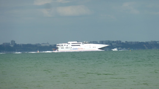
Zoomed into the Condor Ferry from above Picture. These lucky peeps are on their way from Poole to The Channel Islands, another place I have yet to visit
The Sandbanks - South Haven Point Ferry. I took this to get across to walk on to Bournemouth. It is very busy as it saves a 13 mile drive round to get onto the Isle Of Purbeck. This is the end of the SWCP |