|
[The Sussex Diamond Way]
[The Wey-South Path] [The Essex Way] [Links] [Stour & Orwell] [Thanet Coast Path] [Grand Union] [Wealdway] [HWLT] [SDW] [Elham] [Regents Canal] [1066] [SSW] [PW NCP] [Cotswold] [SVW] [DVP] [SBP] [Thames] [SWCP] [Gipping Valley River Path] [Speyside] [Three Castles Path] [GGW] [Eden] [NDW] [Capital Ring / Parkland Walk] [MVW] [The Loop] [Ridgeway] [TWC] [RMCP] [SMW] [Fife Coastal Path] [OVW] [Vanguard] [Lea Valley Walk] [Resources] [Greensand Way] [The Monarch's Way] [E2] [Sandlings Walk] [Solent Way] [Weavers Way] [Fynn Valley Way] [Scafell Pike] [Snowdon] [Ben Nevis] [Pentland Hills] [Hangers Way] [Staunton Way] [Downs Link] [Airdrie Bathgate Cycle Path] [Thames Down] [Marriot's Way] [Bournemouth Coast Path] [Forest Way] [Icknield Way] [Suffolk Coast Path] [Angles Way] [River Parrett Trail] [New River Path] [Stour Valley Path] [St Edmund Way] [Centenary Walk] [John Muir Way] [Paston Way] [East Mendip Way] [Orford Ness] [Lindisfarne] [Southern Upland Way] [Berwickshire Coastal] [Beverley Brook Walk] [Chess Valley Walk] [West Mendip Way] [Strawberry Line] [Colne Valley Trail] [Hillingdon Trail] [Huddersfield Canal Towpath Walk] [Trans Pennine Trail] [Pennine Way] [North Berwick Law] [Green Chain Walk] [Ridgeway London] [Waterlink Way] [Greenwich Meridian Trail] [Shuttle Riverway] [Kelvin Walkway] [Clyde Walkway] [Union Canal Walk] [New Lipchis Way] [Brent River Park Walk] [Dog Rose Ramble] [Pymme's Brook Trail] [Dollis Valley Greenwalk]
|
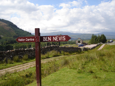
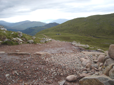
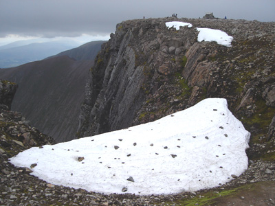
Ben Nevis is the highest mountain in the British Isles. It is located at the western end of the Grampian Mountains in the Lochaber area of Scotland, close to the town of Fort William. It attracts an estimated 100,000 ascents a year, around three-quarters of which are made using the well-constructed Pony Track from Glen Nevis on the south side of the mountain. The summit, at 1,344 metres (4,409 ft) above sea level, features the ruins of an observatory, which was permanently staffed between 1883 and 1904. The meteorological data collected during this period are still important for understanding Scottish mountain weather. C. T. R. Wilson was inspired to invent the cloud chamber after a period spent working at the observatory. Achintee Car Park (Fort William) to Summit and returnSunday 6 July 2008 - 8 HoursA quick jaunt up to the highlands, passing via Glasgow and Glencoe up to Fort William. After the night in the B&B, drove out to the nearby car park, and started. Quite comfortable warm and dry climbing conditions. Significantly harder than Snowdon, but still surprisingly straight forward. It was still ice covered approaching the Summit and I went from t shirt to coat and gloves. After lunch couldn't wait to lose some altitude and start to warm up again.
Just leaving Car Park (This picture was actually taken at end of walk!)
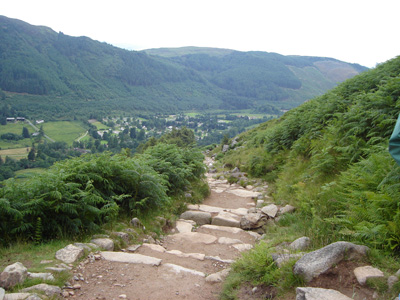
Not to difficult (yet)
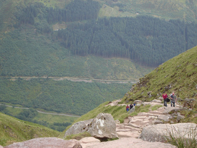
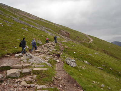
The path is getting rocky and very uneven - yet some peeople are walking in trainers
Zig and Zag
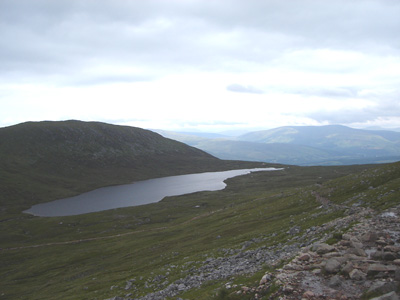
A respite section near Lochan Meall an t - Suidhe
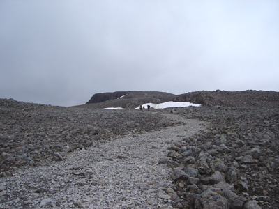
The path becomes a scramble through lots of loose boulders
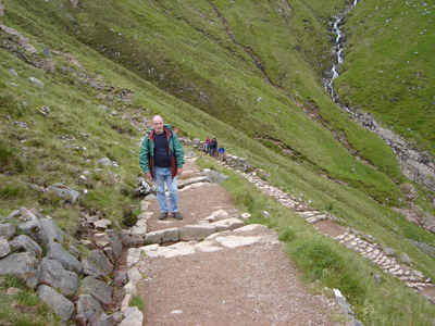
Getting a bit previous now...
Later...a dramatic difference as the temperature drops right off and we encounter ice
Approaching Summit
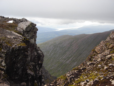
Loch Leven in distance ?
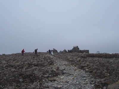
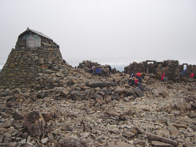
The Summit
Time for lunch amidst ruins of the Observatory
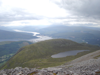
Loch Eil and Fort William in distance
|
|