[The Wey-South Path]
[The Essex Way]
[Links]
[Stour & Orwell]
[Thanet Coast Path]
[Grand Union]
[Wealdway]
[HWLT]
[SDW]
[Elham]
[Regents Canal]
[1066]
[SSW]
[PW NCP]
[Cotswold]
[SVW]
[DVP]
[SBP]
[Thames]
[SWCP]
[Gipping Valley River Path]
[Speyside]
[Three Castles Path]
[GGW]
[Eden]
[NDW]
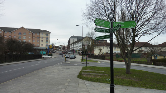
[Capital Ring / Parkland Walk]
[MVW]
[The Loop]
[Ridgeway]
[TWC]
[RMCP]
[SMW]
[Fife Coastal Path]
[OVW]
[Vanguard]
[Lea Valley Walk]
[Resources]
[Greensand Way]
[The Monarch's Way]
[E2]
[Sandlings Walk]
[Solent Way]
[Weavers Way]
[Fynn Valley Way]
[Scafell Pike]
[Snowdon]
[Ben Nevis]
[Pentland Hills]
[Hangers Way]
[Staunton Way]
[Downs Link]
[Airdrie Bathgate Cycle Path]
[Thames Down]
[Marriot's Way]
[Bournemouth Coast Path]
[Forest Way]
[Icknield Way]
[Suffolk Coast Path]
[Angles Way]
[River Parrett Trail]
[New River Path]
[Stour Valley Path]
[St Edmund Way]
[Centenary Walk]
[John Muir Way]
[Paston Way]
[East Mendip Way]
[Orford Ness]
[Lindisfarne]
[Southern Upland Way]
[Berwickshire Coastal]
[Beverley Brook Walk]
[Chess Valley Walk]
[West Mendip Way]
[Strawberry Line]
[Colne Valley Trail]
[Hillingdon Trail]
[Huddersfield Canal Towpath Walk]
[Trans Pennine Trail]
[Pennine Way]
[North Berwick Law]
[Green Chain Walk]
[Ridgeway London]
[Waterlink Way]
[Greenwich Meridian Trail]
[Shuttle Riverway]
[Kelvin Walkway]
[Clyde Walkway]
[Union Canal Walk]
[New Lipchis Way]
[Brent River Park Walk]
[Dog Rose Ramble]
[Pymme's Brook Trail]
[Dollis Valley Greenwalk]
[Wandle Trail]
[Celandine Route]
[Paths to Prosperity]
[Snaefell]
Brent River Park Walk

A 9.5 Kilometre / 6 Mile walk from Hanger Lane to Brentford
More info on the River Brent
Hanger Lane to Greenford
Sunday 8 January 2012 - 2.5 Miles
ID08012012#2a
This was part one of a two part walk designed to mop up some crumbs of walking left over, those awkward little bits of routes that are followed under the auspices of of others and not walked in their own right - I had previously already walked the Brentford to Greenford section on the Capital Ring but had this section left, which I combined with the remaining Northolt branch of the Dog Rose Ramble via a linking route of my own construction which made todays entire walk 10.5 Miles in total.
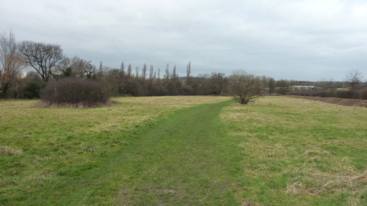
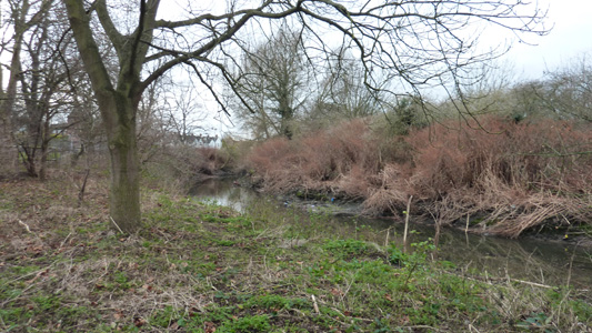
From Hanger Lane Tube I walked a short distance to Brunswick Road, then into Lynwood Road and I then a tiny lane just before reaching the A40 till a small open space just after the allotments, which gave me access to the River Brent, but seemed to be a dead end, so I retraced my steps, coming across my first BRP marker, and followed a combination of Fingerposts and Markers along Meadvale Road, and into Pitshanger Park, which is not correct as far as OS mapping goes, but then waymarking disappeared again and I tentatively followed an enclosed path North out of the park across the Golf Course, then left on another Path just shy of the Brent Bridge and soon reached the B452, where I turned right, crossing the road just shy of another bridge, and skirted round some football pitches (in use) to stick near the fetid river and from here on waymarking was quite good, although the waymarkers are faded and damaged in places. The walk then joins and follows Ruislip Road East for some distance, under a railway viaduct and sandwiched between the pavement and the river, before veering off to be slightly nearer the river, before coming back onto the road just shy of Greenford Broadway, where the Capital Ring joins at the Brent Bridge. Certainly a rather ugly little walk in places, and I notice that the River is very polluted with industrial effluent and with the banks littered with rubbish, needs some serious help - having said that it is still a walk that I am glad I had and I then followed a link route following the Capital Ring to Greenford Station, then across to the Grand Union to do the Northolt Dog Rose Ramble section to Westways Farm
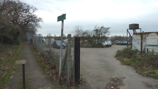
Brentham Allotments, just off Lynwood Road. The OS Explorer shows the BRPW starting at the back of these, but I was reluctant to walk into private allotments, and continued along the path to the left labelled 'To Brunswick Road'
This open space is just after the allotments, which are to the right. The River Brent is behind the trees and the A40 is behind that!
The Brent from the open space. Double back time
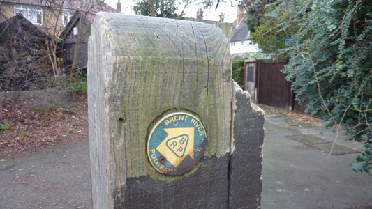
Whoever painted on the wood preserver was a bit sloppy

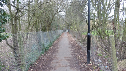
Meadvale Road. Fingerposts aplenty
Path towards Perivale Lane bisecting Ealing Golf Course
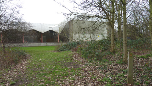
The walk skirts the Leisure Centre
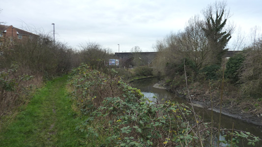
Approaching the Ruislip Road Viaduct

Ruislip Road
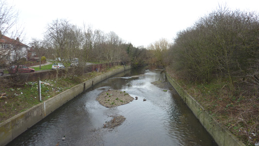
Greenford Bridge. Very shallow river with critters
Capital Ring at Greenford Bridge, The Broadway in distance - Job done.
