 
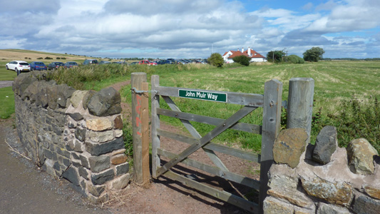
John Muir Way
The John Muir Way is a 73-kilometre (45 mi) continuous coastal path in East Lothian, Scotland, UK. It is named in honour of the Scottish 19th-century conservationist John Muir, who was born at Dunbar, East Lothian, in 1838 and became a founder of America's national park system. The path runs from the Edinburgh City Council boundary along the coast through East Lothian to the Scottish Borders - From Fisherrow Harbour through Musselburgh, Prestonpans, Cockenzie, Port Seton, Aberlady, North Berwick, Dunbar finishing in Dunglass, near the 'end' of the Southern Upland Way at Cockburnspath.
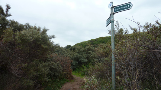
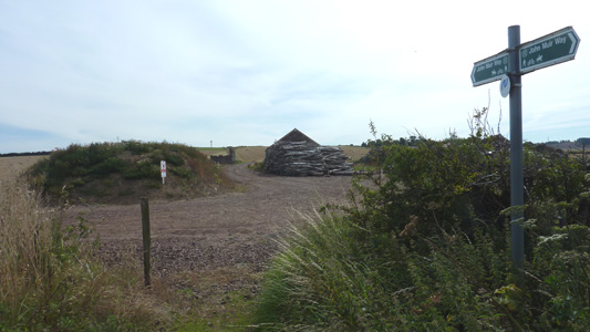
The John Muir Way is signposted throughout with green fingerposts. It also connects with other coastal and countryside pathwaysfor instance, the 7-kilometre (4.3 mi) Railway Walk from Longniddry to Haddington
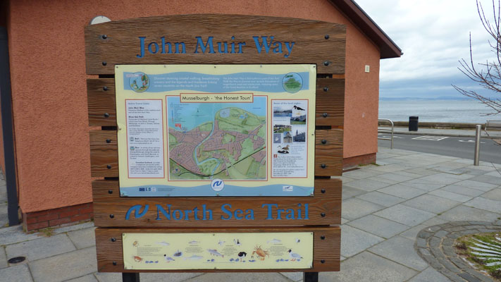
The John Muir Way forms part of the North Sea Trail Project (Nortrail), funded by the European Regional Development Fund.
Fisherrow Harbour to Longniddry
Tuesday 6 April 2010 - 10 Miles
ID06042010#09
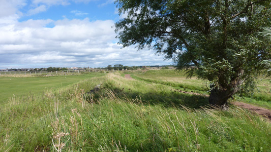
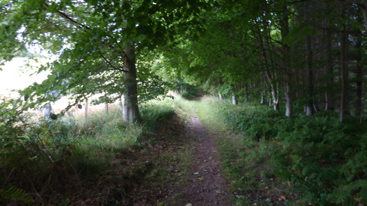
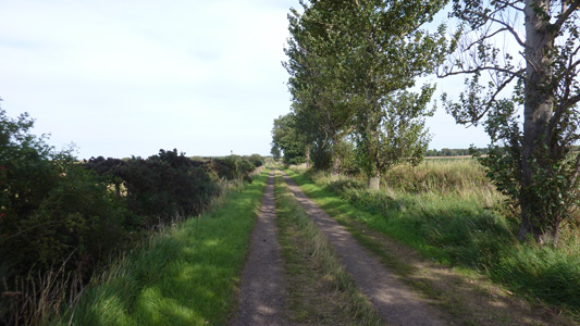
First section of John Muir Way. Not a very long journey from Livingston and my first walking in East Lothian. A very pleasant experience on a beautiful sunny day. The path is very easy to follow throughout, starting from Fisherrow Harbour, passing north of Musselburgh town centre, through Prestongrange, to Prestonpans, passing the Coal Power Station, to Cockenzie and to Port Seton, where I turned slightly inland to reach Longniddry and a ride home.
Fisherrow Harbour, with convenient schiller, and Latte dispensary - what more do you need?
Looking back towards Edinburgh and Arthur's Seat
Crossing River Esk into Musselburgh

The monument at the end of this arrow reads 'This Concrete arrow was renovated by Cadets of 297 Squadron ATC in recognition of its original purpose of training bomber crews by aligning their aircraft up with a target in the Firth Of Forth'
Skirting the Ash Lagoons near Musselburgh. Clearly once a very industrial area
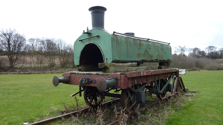
Honey, I Shrunk The Loco...at Prestongrange Industrial Heritage Museum
Cairn erected to Commemorate the Bicentennary of the death of Robert Burns - Prestonpans
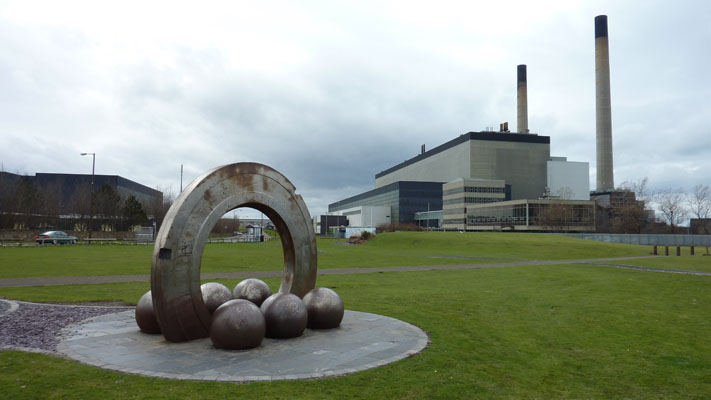
Cockenzie Coal Power Station
Bit dodgy pavement at Cockenzie
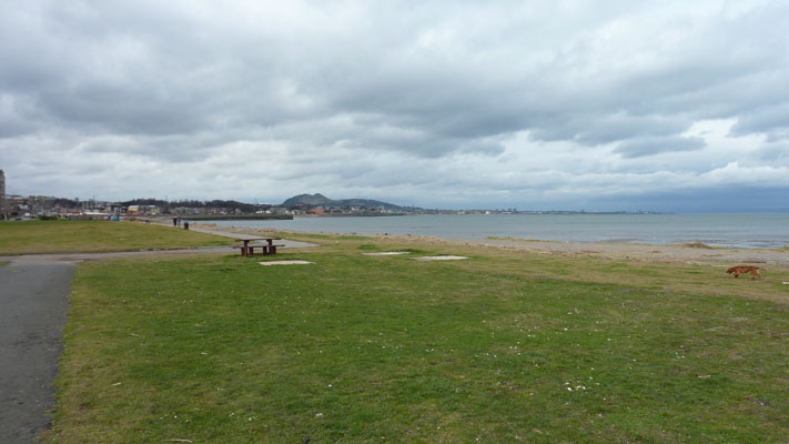
On The Beach...Port Seton. Shortly afterwards I turned slightly inland to finish at Longniddry
Longniddry to North Berwick
Friday 20 August 2010 - 11.6 Miles
ID20082010#21
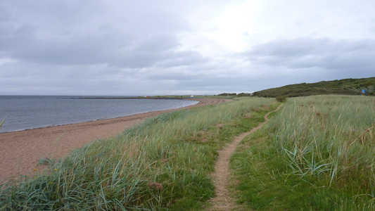
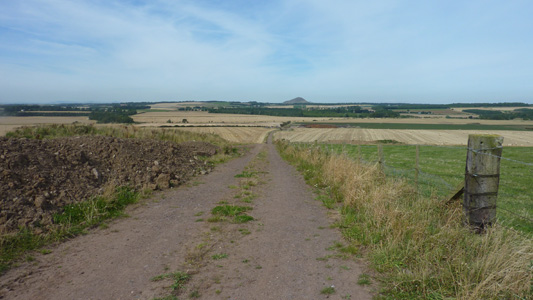
My first Scotland walk on this session - here for two weeks. The weather was a bit pants, but when it wasn't drizzling it was real, however it was glorious and sunny by the time I hit NB. The route follows alongside the A198 around Gosford Bay, cutting across to Aberlady, more road walking then joining an attractive path at Lufness Links, crossing a former railway before entering into Gullane. More road walking then paths into Dirleton, where I stopped at an Art Gallery for some Ice Cream, with the sound of bagpipes eminating from the nearby castle. You then head Northwards back to the Firth before passing by a golf course and back roads into North Berwick.
Back by the Firth after walking up from Longniddry Station

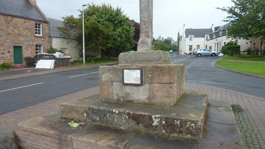
Memorial to Nigel Tranter - Scottish Writer
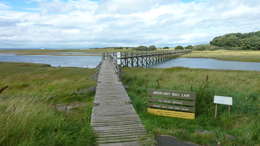
Aberlady Bay Local Nature Reserve
After a road session, back onto tracks near Gullane
Crossing former railway on the edge of Gullane
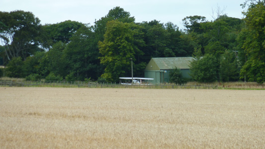
Near Dirleton I was being entertained by a Biplane doing acrobatics, which then landed on a small grass strip nearby
Back near the Firth, with Berwick Law in distance
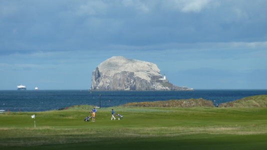
Zoomed in on Bass Rock while crossin a pesky golf course at North Berwick
The rather rudimentary station at North Berwick is at least well looked after, with this lovely display. I had a lovely chill waiting for the next train
Dunbar to Dunglass
Monday 23 August 2010 - 11.9 Miles
ID23082010#22a
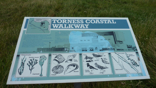
This section walked on way down to stay in a family friends caravan at Pease Bay, in the Borders. I was dumped off at Dunbar and proceeded to walk to the end/start point of the way at Dunglass. From Dunbar you follow the coast through along the edge of a golf course (boo!) with signs warning about erosion, best ignored. The path becomes very wild through dunes, eventually passing by Barns Ness Lighthouse, with Torness Nuclear Plant beckoning in the distance. Eventually you reach this massive complex, and follow an ugly sea wall round the plant which is easy walking but seems to go on and on. The walk is a bit awkward going in places with a burn to cross near Thorntonlock (apparently the bridge is no longer there - but no explanation above that) and then a narrow dune to soon climb a lowish cliff to walk by fields. When you get near Bilsden you deviate slightly inland to pass a hidden waterfall, then back to the coast, where you have to walk on a rough beach for approaching half a mile, before then heading inland for the last time, passing under the A1 and the East Coast Main Line. Here you have a very short walk to an incongrous end at an A1 layby. I proceeded to follow the waywarked link path onto Cockburnspath where I then joined the Southern Upland Way LDP.
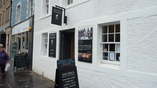
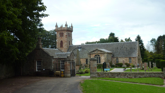
John Muir Birthplace, Dunbar
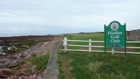
I don't like having to walk by / across Golf Courses. Always expecting a ball to hit my crust or some attitude from the players who don't understand that they have a public footpath to respect
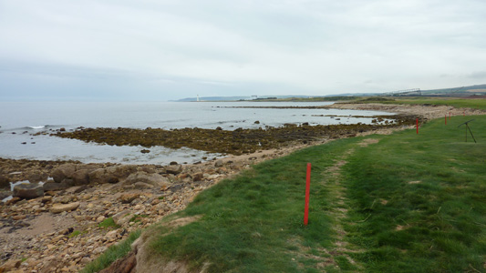
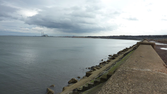
You are meant to stay to the left of red posts, impossible in places. Torness Power Station in far distance
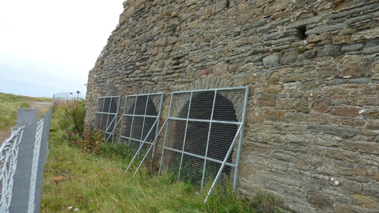
Disused Lime Kilns
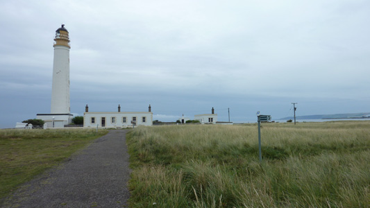
Barns Ness Lighhouse
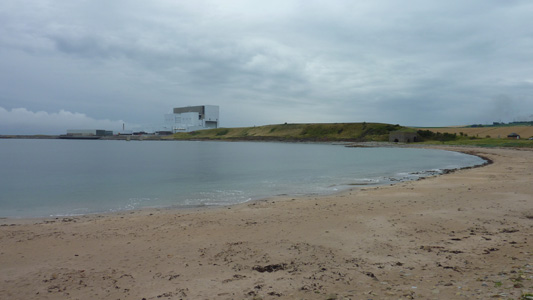
Nearly at Torness
An attempt to make it attractive
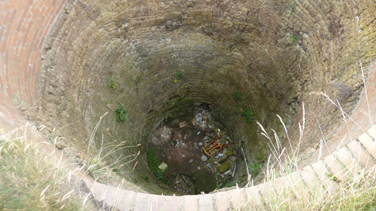
A shaft to do with Lime Working I think. A bit dodgy like
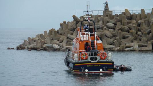
Dunbar Lifeboat on maneuveres
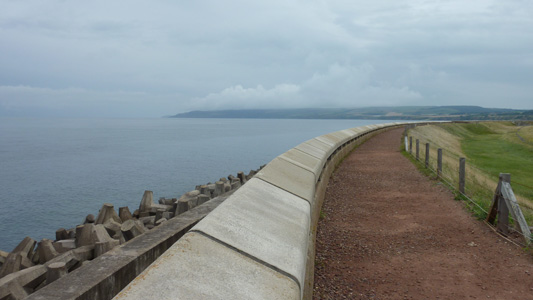
Following the imposing sea wall
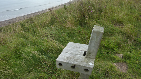
Style over substance - uncomfortable seat used for late lunch near Torness
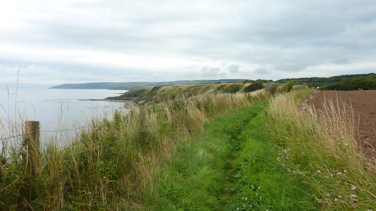
Pleasant cliff walking
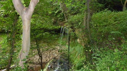
Waterfall near Bilsdean
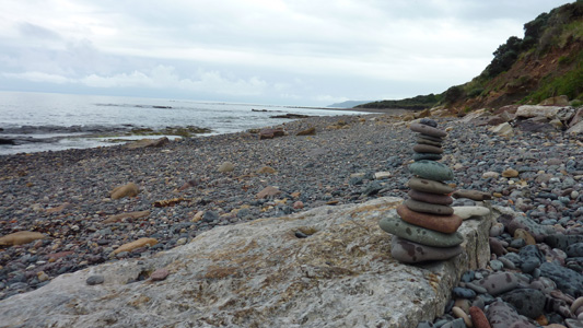
On the awkward pebbley bit, someone had decided to lighten up the mood wit a pebble pile. I added the top one!
Heading inland for the last time near Dunglass
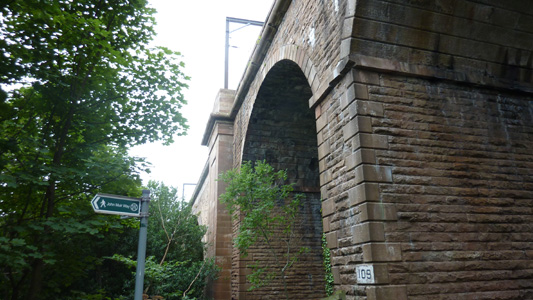
Passsing under the ECML

That's yer lot...the official end/start. At the time of walking this however, I still had to walk the section between North Berwick and Dunbar
Dunglass to Cockburnspath
Monday 23 August 2010 - 1 Mile
ID23082010#22b
This walk did not rate its own page so I have just added it here. A very short route but it was a bit hilly and varied nontheless. Basically you go straight on a footpath immediately right after crossing the Dunglass Burn, then head uphill and then turn left to head downhill to Cockburnspath. I popped in the village shop and had a ten minute breather before the last walk section for today, down to the caravan at Pease Bay
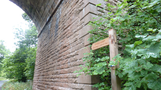
The waymarked start of link
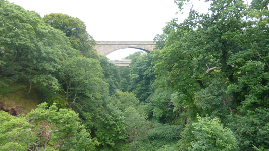
Crossing the burn looking towards road bridges
On first section of link path
Descending to Cockburnspath, over the hill on the right
Cockburnspath. Time for a short break
North Berwick to Dunbar
Tuesday 31 August 2010 - 15.6 Miles
ID31082010#25
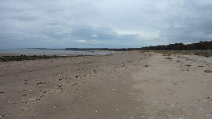
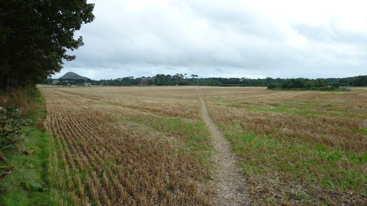
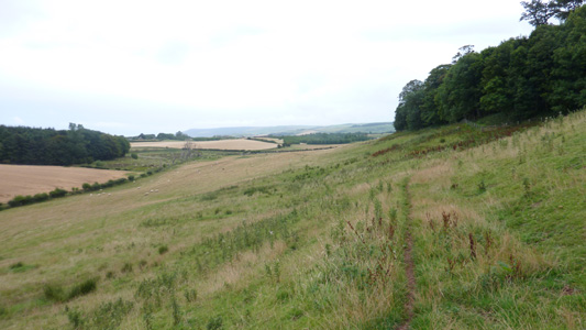
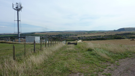
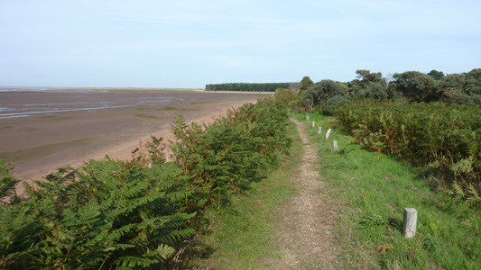
Last section. Did this the day before heading back south. From North Berwick heading South, passing along the side of Berwick Law. A zigzagging route leads you to Drylaw Hill and down into East Linton. Soon joining the River Tyne, you now head East. A lovely stretch, passing by Preston Mill which is owned by National Trust for Scotland. Continuing by the Tyne till Tyninghame Bridge, by the A198 then joining a track leading to a bank by Hedderwick Sands. Through Hedderwick Hill Plantation, passing East Links Family Park, across the sands at Belhaven Bay, then a crappy bit skirting a poxy Golf Course, where the members carry on popping balls towards you (bastards). Eventually walking into Dunbar and down to the station
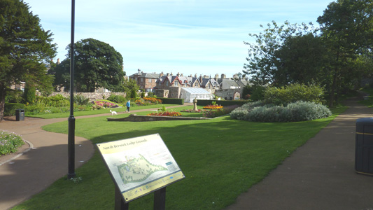
North Berwick Lodge Grounds
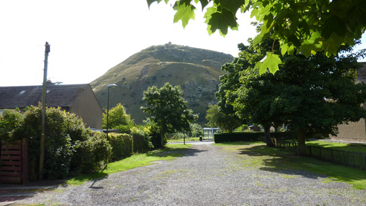
North Berwick Law towering above a manky bus shelter
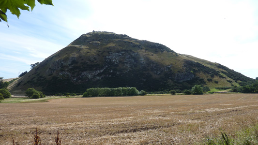
In Profile
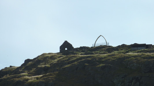
Atop the Law is a replacement whalebone and Napoleonic War Ruins
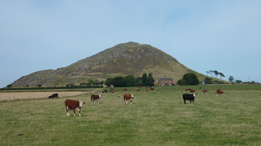
Being checked out by some creepy cows
Heading for Drylaw Hill
Looking back North from Drylaw Hill
Looking over East Linton
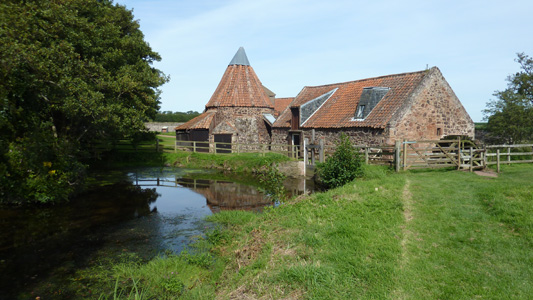
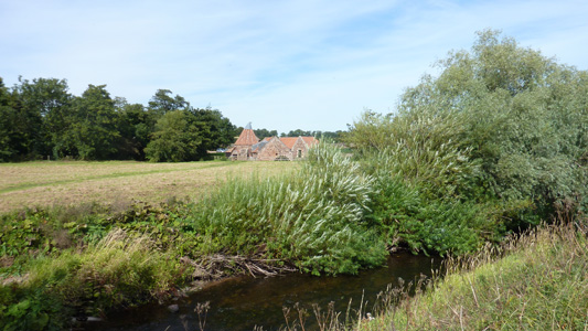
Preston Mill - National Trust For Scotland. Had a nice little break at this stunning lump of beauty
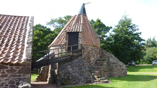
Like something out of a fairytale
Various flood level markers
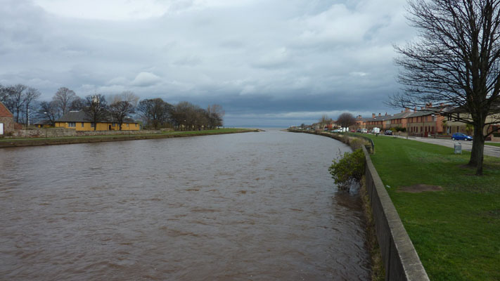
Looking back across from the River Tyne Not the same one as Lindisfarne bleated on about!
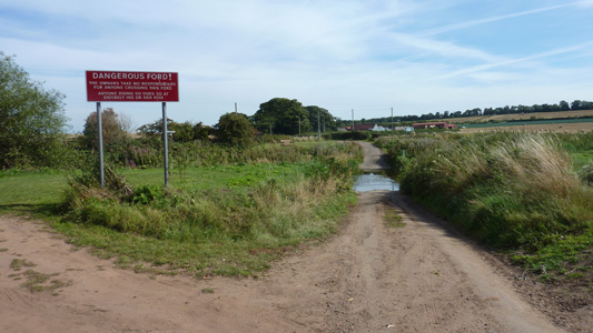
Dangerous Ford apparently - not a cut and shut Cortina but a lump of water. Walkers have a bridge to cross
Ware Road
Man made embankment to keep the tidal mudflats from encroaching on farmland
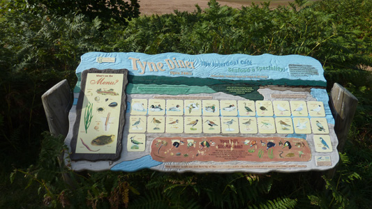
Humourous interpretation board entitled the 'Tyne Diner'
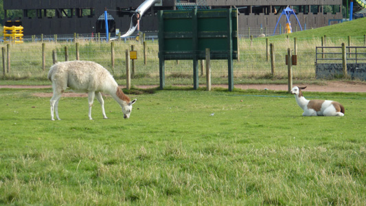
Sweet - Llamas at East Links family Park
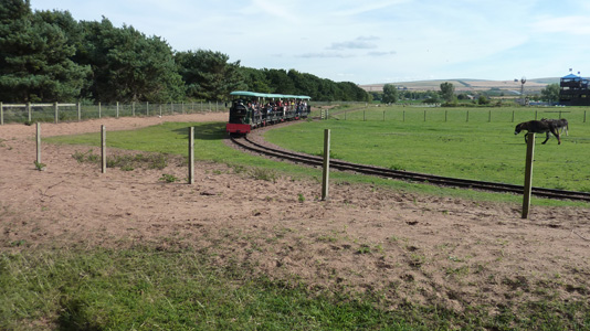
Little train ride
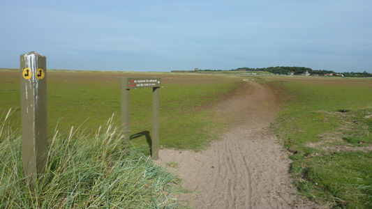 # #
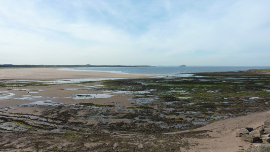
Crossing the sands at Belhaven Bay
Berwick Law and Bass Rock - looking North West
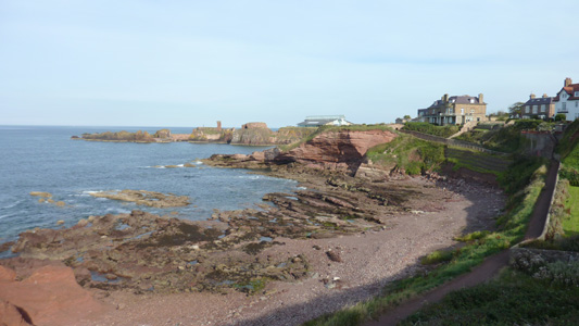
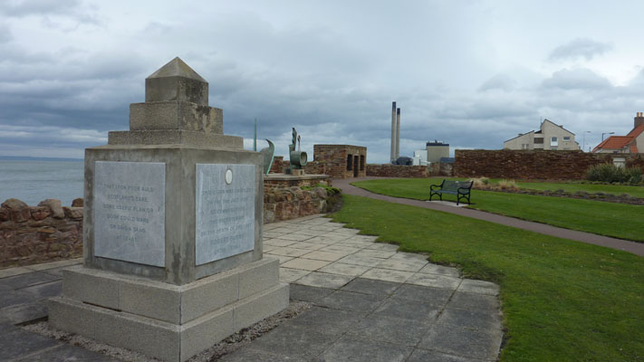
Dunbar - job dun
|
